CC10
Total Miles
1.4
Technical Rating
Best Time
Fall, Spring, Summer, Winter
Trail Type
60" Trail
Accessible By
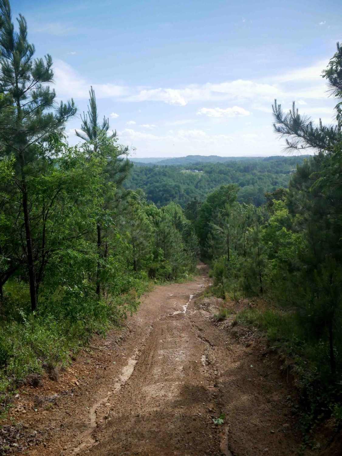
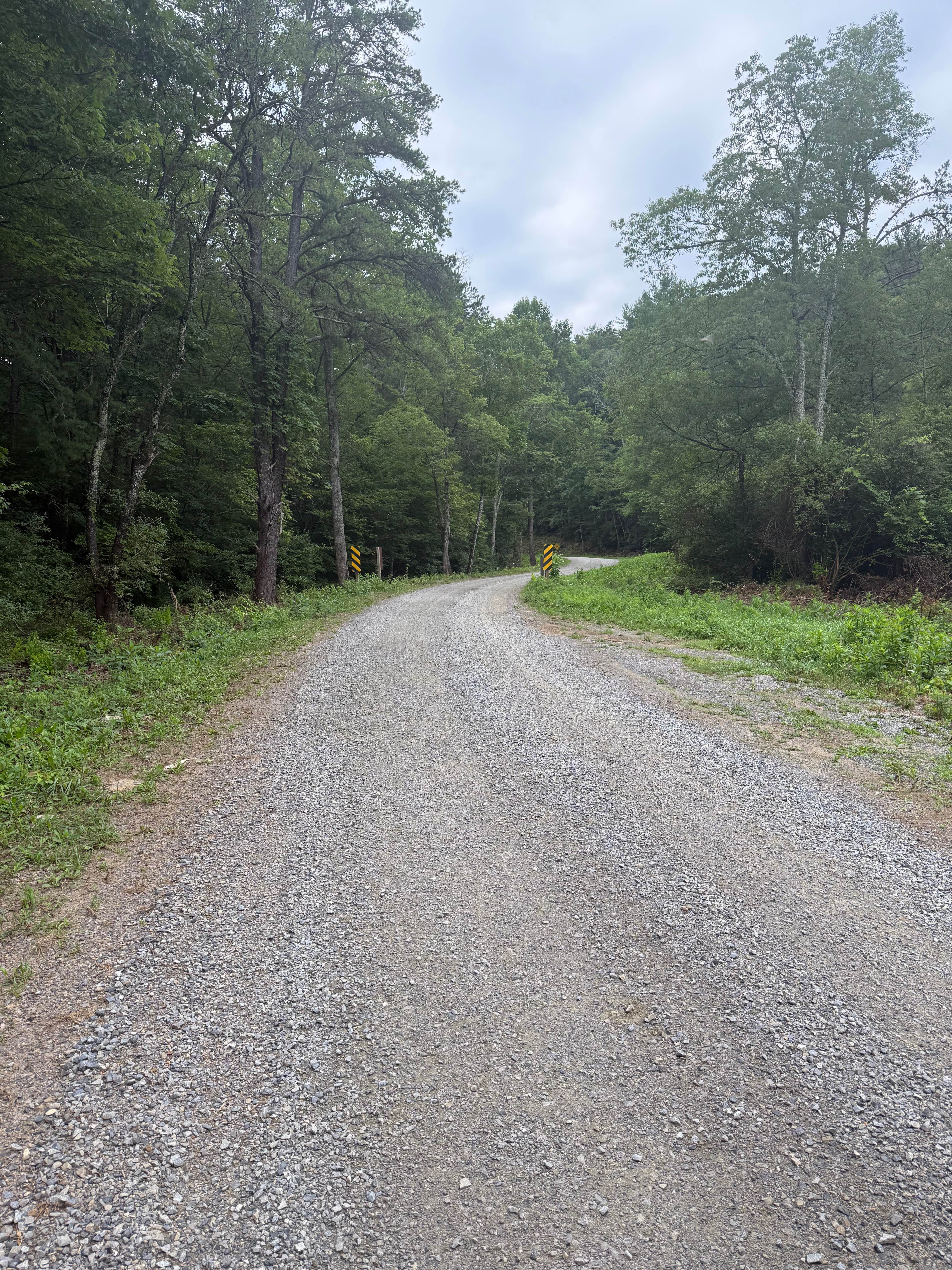
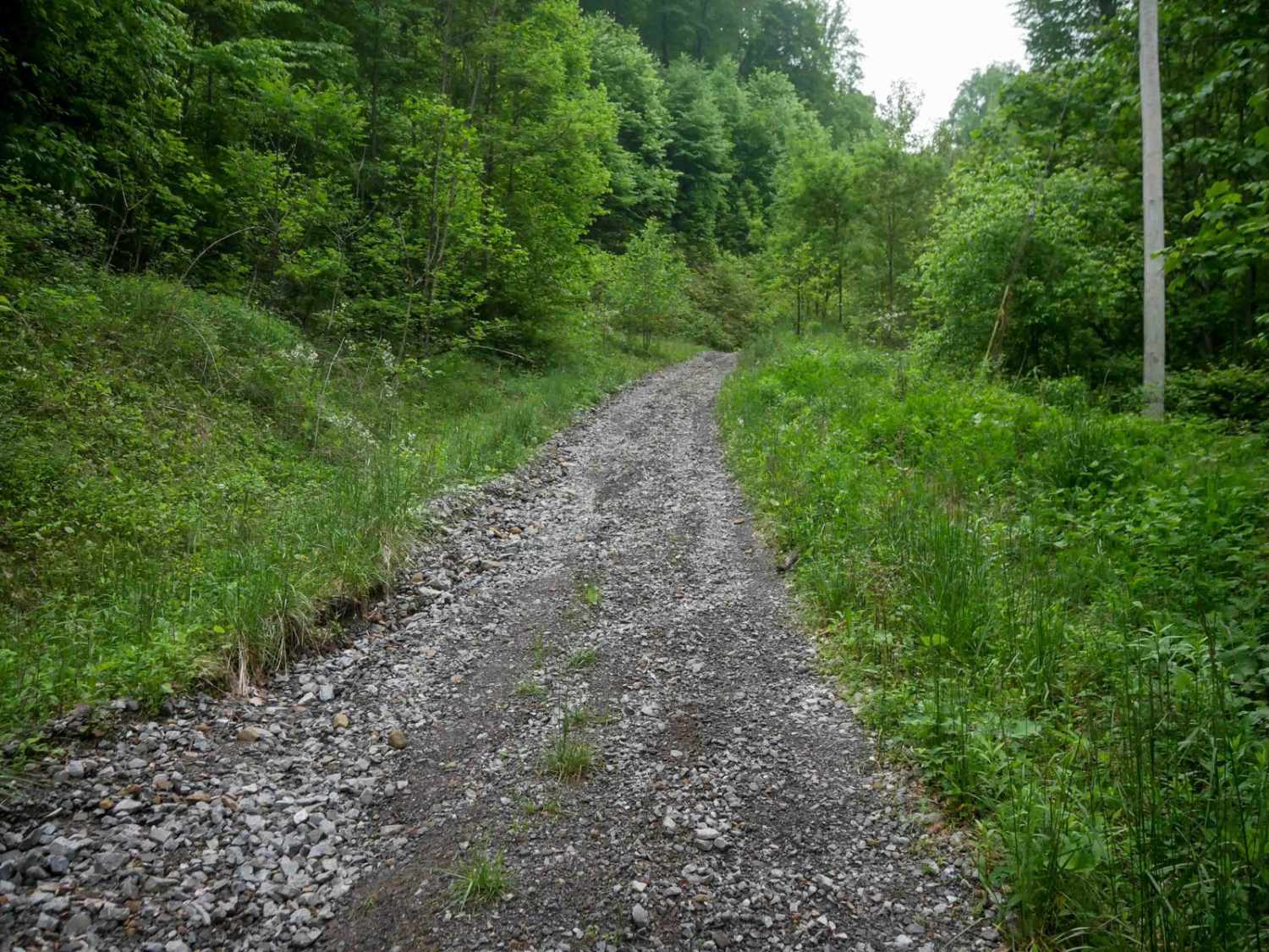
Trail Overview
CC10 is a 1.5-mile trail located near the staging area for the Coal Canyon trail system, offering a mix of easy and moderate terrain. The south end begins with loose, flat rock on an uneven but manageable path, followed by a small climb with embedded rock surfaces. A rutted descent features additional loose rock, small ledges, and mud puddles. As the trail continues north, it transitions into a tighter corridor through dense vegetation, with sections of larger embedded rocks and continued loose rock. CC10 ends on CC8 and provides a varied but overall moderately easy experience.
Photos of CC10


Difficulty
This is a moderately easy route with rocky and steep sections, ideal for riders comfortable with basic off-road techniques.
Status Reports
CC10 can be accessed by the following ride types:
- SxS (60")
- ATV (50")
- Dirt Bike
CC10 Map
Popular Trails

The onX Offroad Difference
onX Offroad combines trail photos, descriptions, difficulty ratings, width restrictions, seasonality, and more in a user-friendly interface. Available on all devices, with offline access and full compatibility with CarPlay and Android Auto. Discover what you’re missing today!