Trail 7
Total Miles
3.6
Technical Rating
Best Time
Fall, Spring, Summer, Winter
Trail Type
60" Trail
Accessible By
Trail Overview
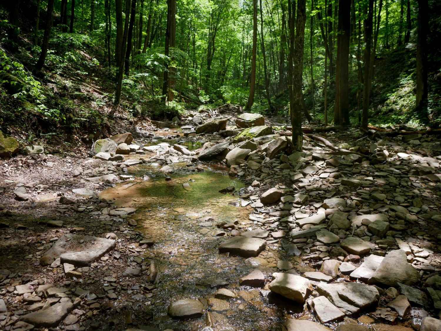
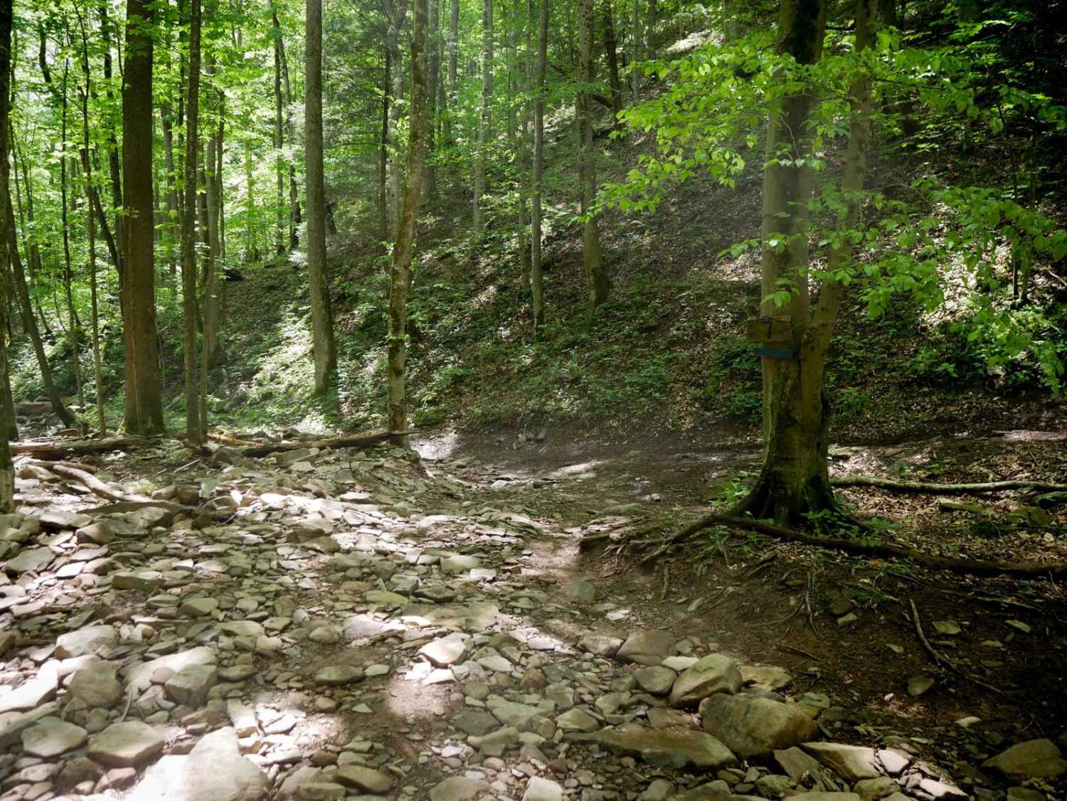
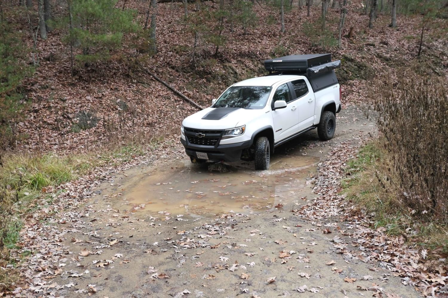
Trail 7 begins at the southern entrance near the "Shale Bank" sign and features a two-way travel section for the first 1.5 miles. It starts out wide with water bars, mud puddles, and shallow ruts, but quickly becomes more technical as it descends into a rocky ravine. Riders will encounter big loose rocks, steeper sections, and several small rocky stream crossings. This trail also provides access to the advanced White Whale trail. After the stream crossings, Trail 7 climbs steeply with more ruts and loose rock before making a loop on a somewhat easier path. The loop section is directional and should be ridden counterclockwise. A scenic overlook of the New River is located along the loop, offering a worthwhile stop.
Photos of Trail 7
Difficulty
This is a moderate SxS route with rocky and steep sections and several stream crossings, making it ideal for more experienced riders.
Status Reports
Trail 7 can be accessed by the following ride types:
- SxS (60")
- ATV (50")
- Dirt Bike
Trail 7 Map
Popular Trails
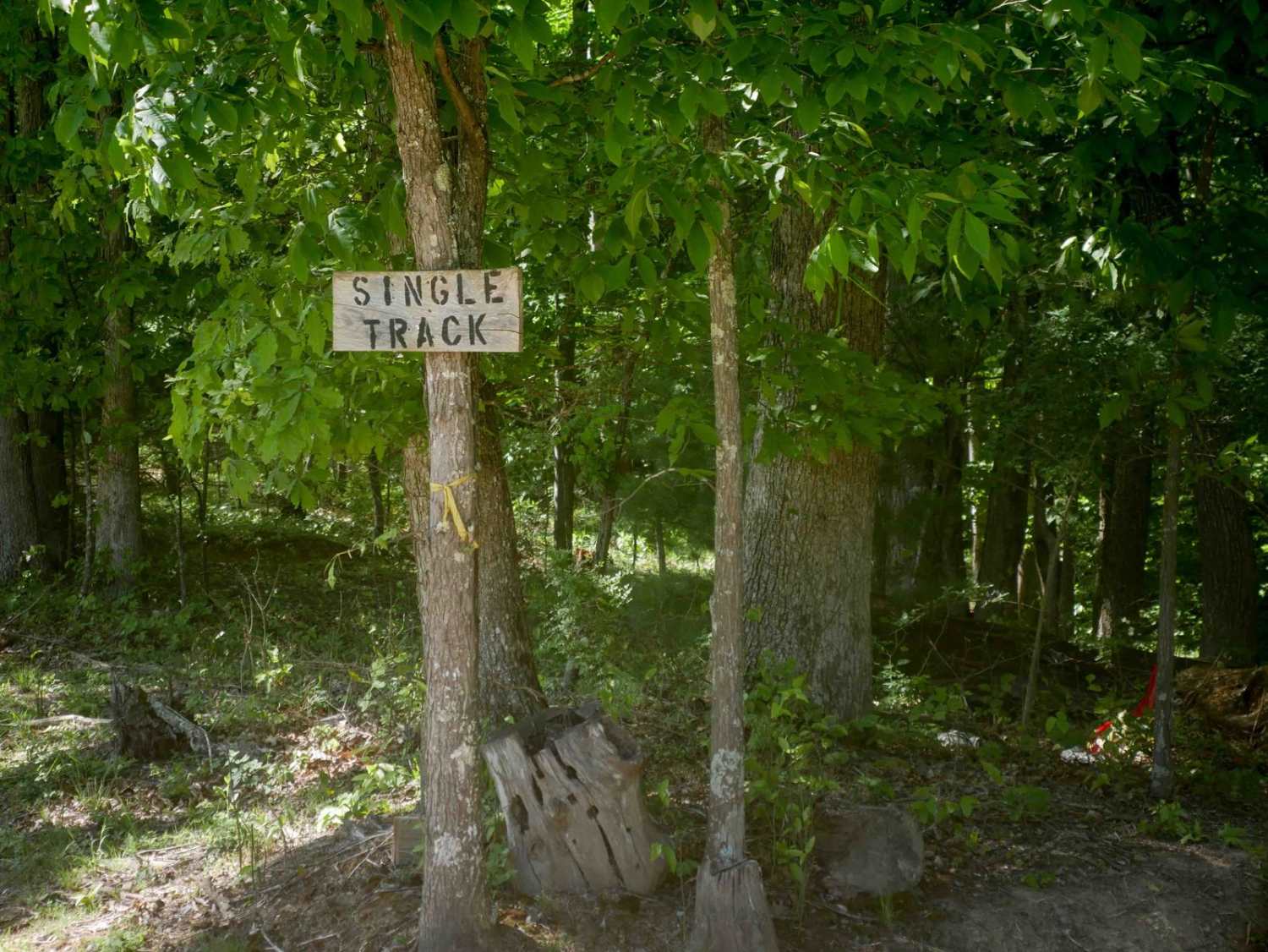
Single Track 1
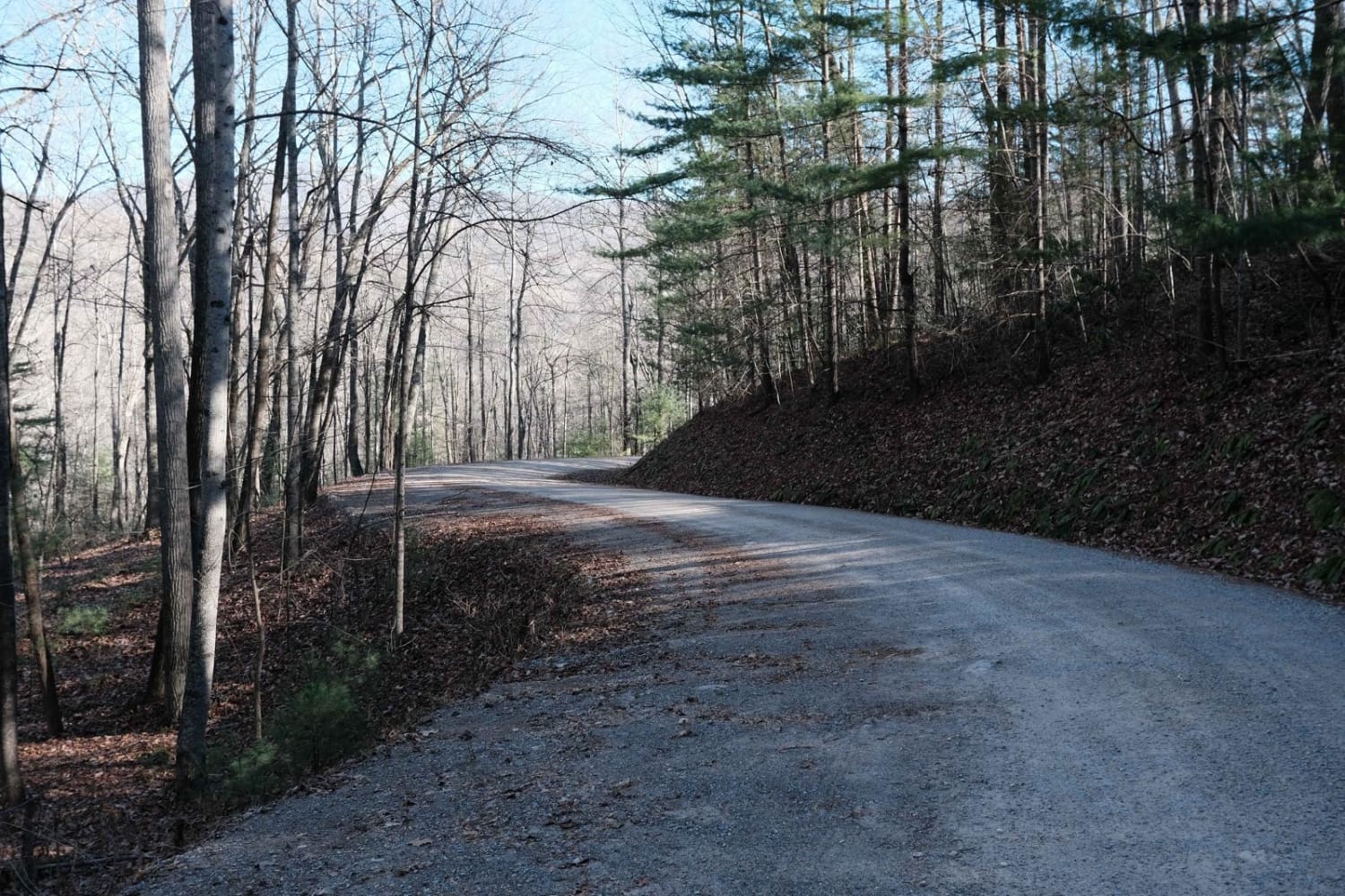
Shady Mountain Road

The onX Offroad Difference
onX Offroad combines trail photos, descriptions, difficulty ratings, width restrictions, seasonality, and more in a user-friendly interface. Available on all devices, with offline access and full compatibility with CarPlay and Android Auto. Discover what you’re missing today!