Weiss Highway
Total Miles
104.3
Technical Rating
Best Time
Spring, Summer, Fall
Trail Type
Full-Width Road
Accessible By
Trail Overview
The Weiss Highway is a gravel road that runs from US-6 near Delta at the east end to the small farm community of Callao in the west. This road provides access to the Little Sahara OHV Recreation area, the Honeycombs, the Prospector OHV Complex, Fish Springs Wilderness Area, the Topaz Mountain Rockhound Recreation Area, and countless other spur trails. The nearest services are the town of Delta on the east end and Wendover on the west side. There is limited cell service on this route.
Photos of Weiss Highway

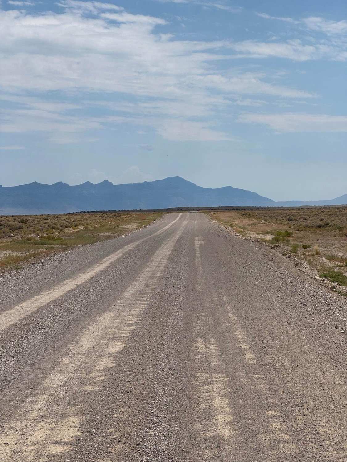
Difficulty
Well maintained gravel road, two vehicles wide
History
Weiss Highway is the main East/West route in Juab County and is therefore crucial for accessing much of the county. This road was the subject of disagreements between the BLM and the state of Utah, and was the first road submitted to the BLM by the state government for state right of way through federal lands under a 2003 agreement.
Status Reports
Weiss Highway can be accessed by the following ride types:
- High-Clearance 4x4
- SUV
- SxS (60")
- ATV (50")
- Dirt Bike
Weiss Highway Map
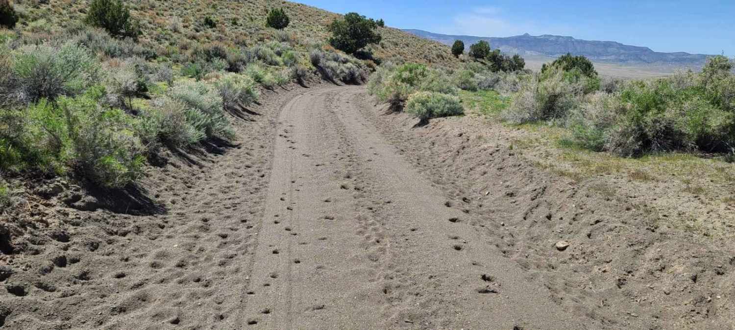
Popular Trails
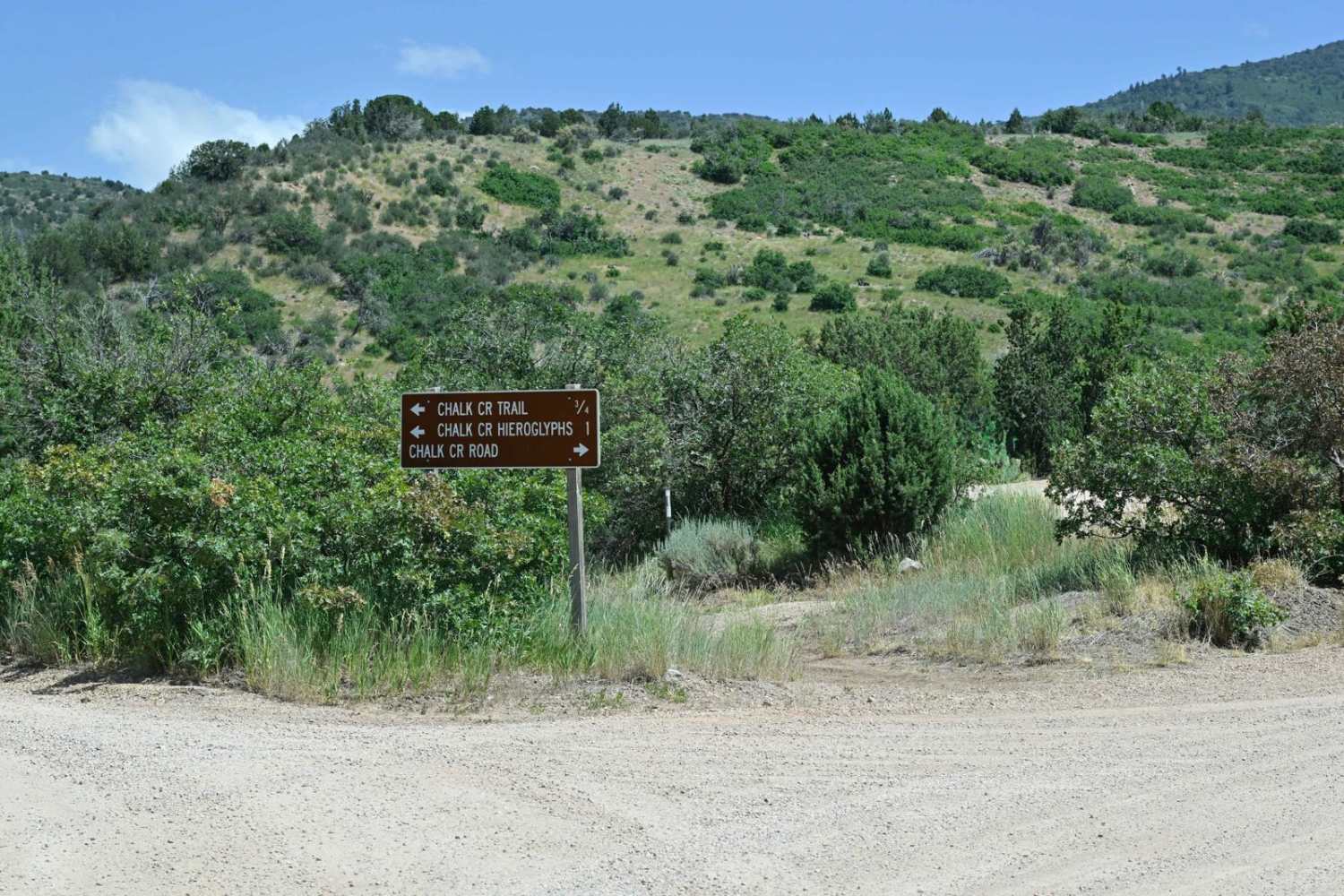
Chalk Creek Road/PST 03A
Flint Springs Road
North Caineville Reef Road

Hog Canyon 4 West to White Pinnacles (BLM HC4)
The onX Offroad Difference
onX Offroad combines trail photos, descriptions, difficulty ratings, width restrictions, seasonality, and more in a user-friendly interface. Available on all devices, with offline access and full compatibility with CarPlay and Android Auto. Discover what you’re missing today!