Sheep Valley-Tommy Hollow Trail
Total Miles
6.1
Technical Rating
Best Time
Spring, Summer, Fall
Trail Type
60" Trail
Accessible By
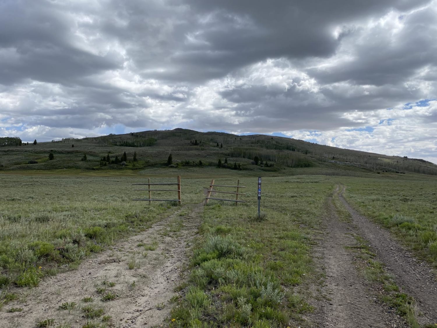
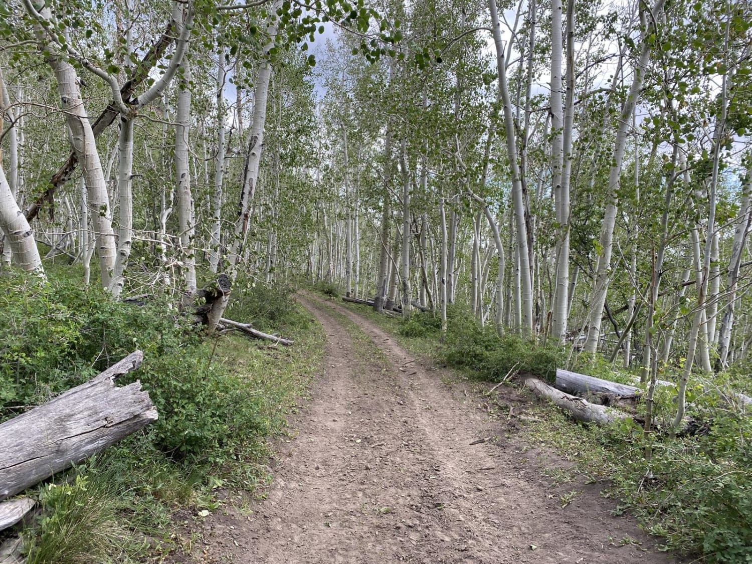
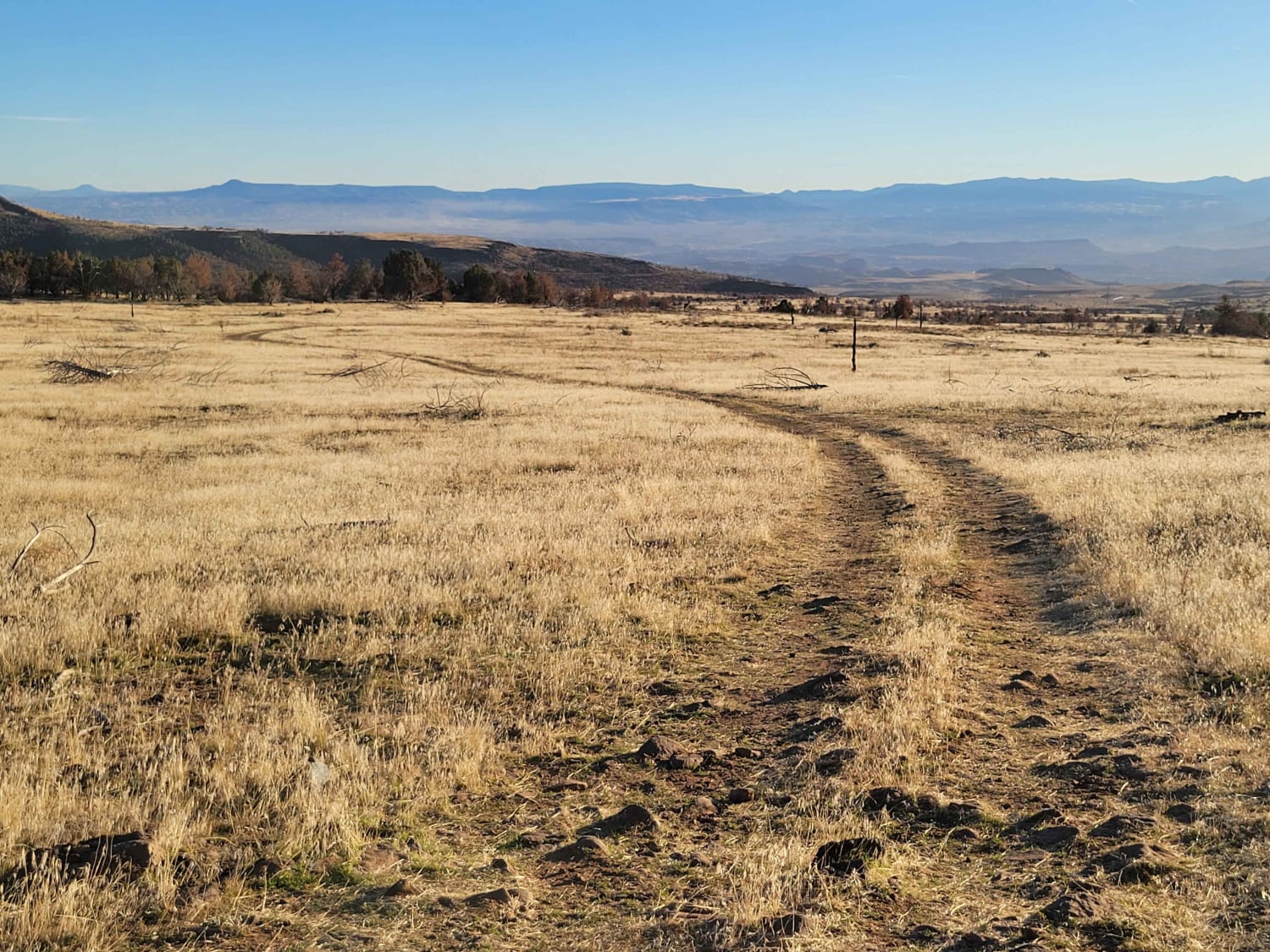
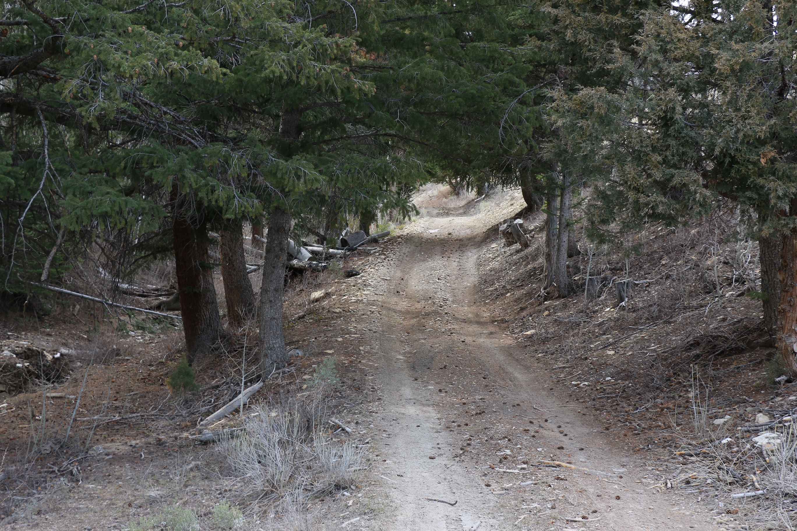
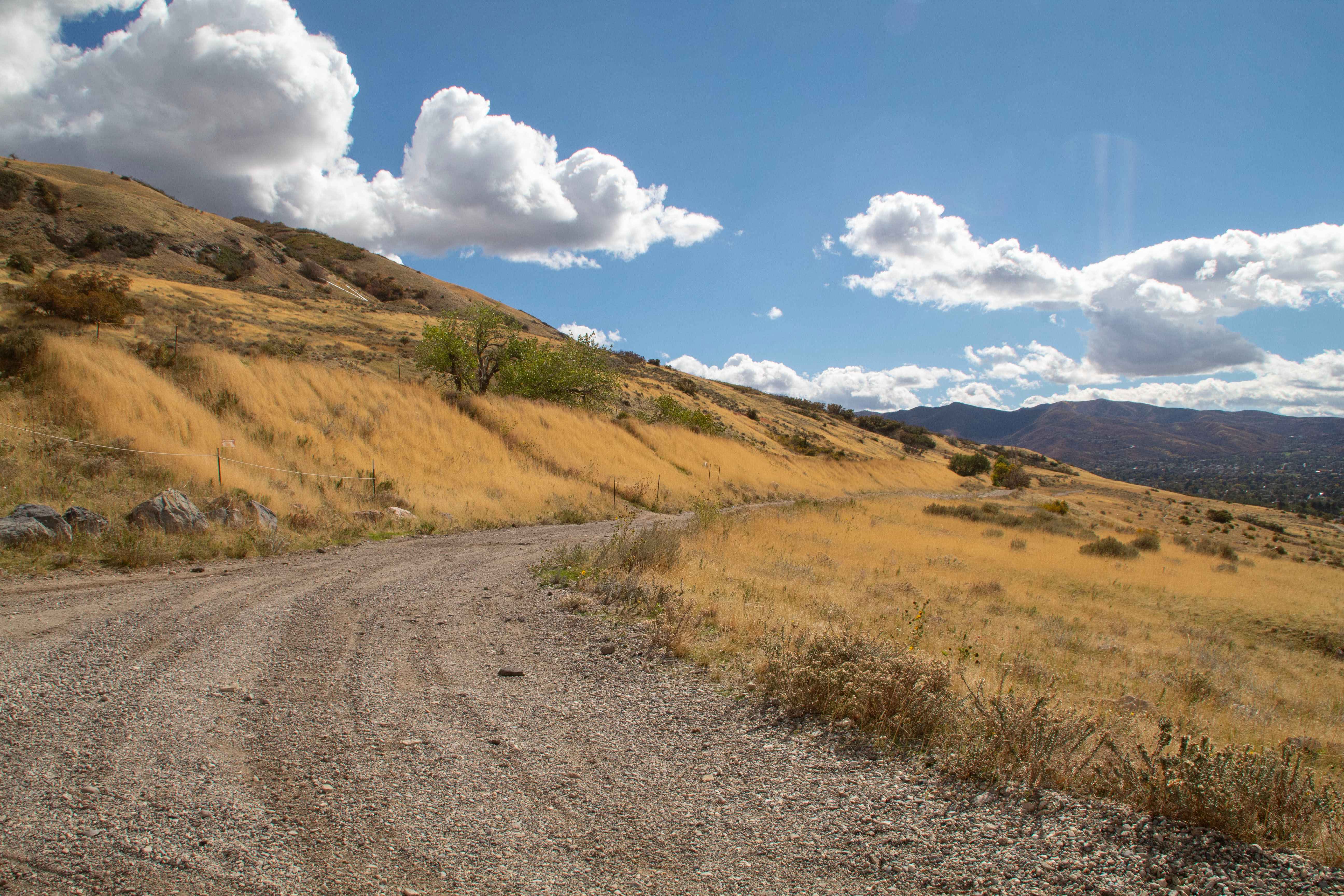
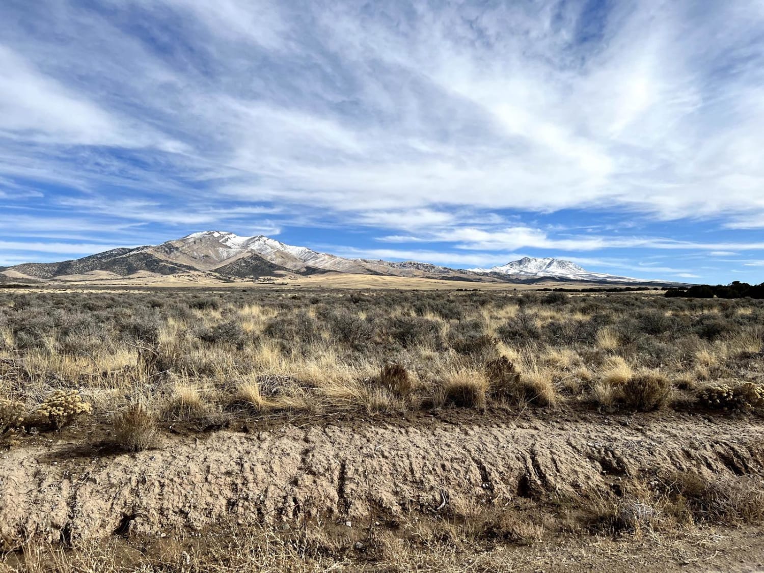
Trail Overview
This trail transverses almost 8 miles and 800 feet of elevation gain. The trail can be rocky in places, so expect to be jostled around a bit. At lower elevations, the vegetation is sagebrush and cedar. As you gain elevation, you will pass through several quaking aspen groves and some pine. There are a few nice view points as you near the top of the trail where you can view large portions of the terrain in every direction. The trail is closed from January 1 to April 15 to prevent trail erosion.
Photos of Sheep Valley-Tommy Hollow Trail
History
There are a lot of loose rocks on the trail and it can be slippery in wet weather.
Status Reports
Sheep Valley-Tommy Hollow Trail can be accessed by the following ride types:
- SxS (60")
- ATV (50")
- Dirt Bike
Sheep Valley-Tommy Hollow Trail Map
Popular Trails
Cedar Bench Trail
Pine Hollow - FS 10655
Centerville Offroad Bowl Return
Ericson Pass Road
The onX Offroad Difference
onX Offroad combines trail photos, descriptions, difficulty ratings, width restrictions, seasonality, and more in a user-friendly interface. Available on all devices, with offline access and full compatibility with CarPlay and Android Auto. Discover what you’re missing today!