Mushroom Connector
Total Miles
0.6
Technical Rating
Best Time
Spring, Summer, Fall, Winter
Trail Type
Single Track
Accessible By
Trail Overview
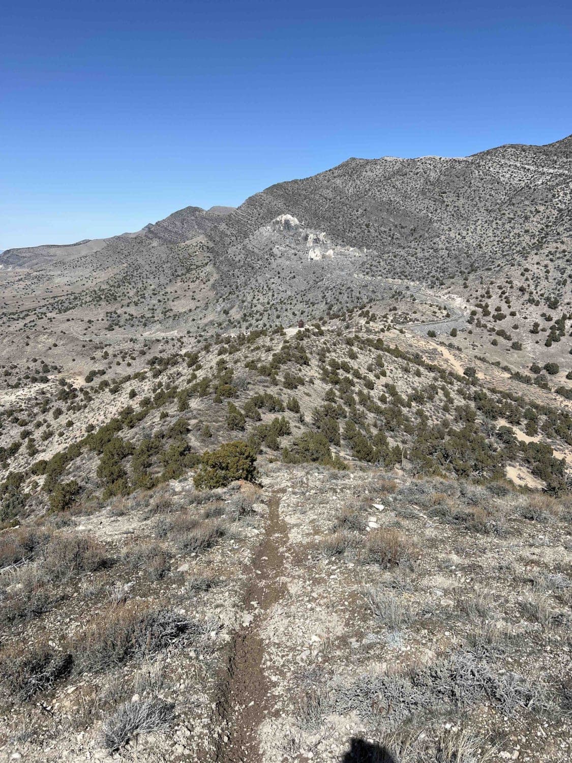
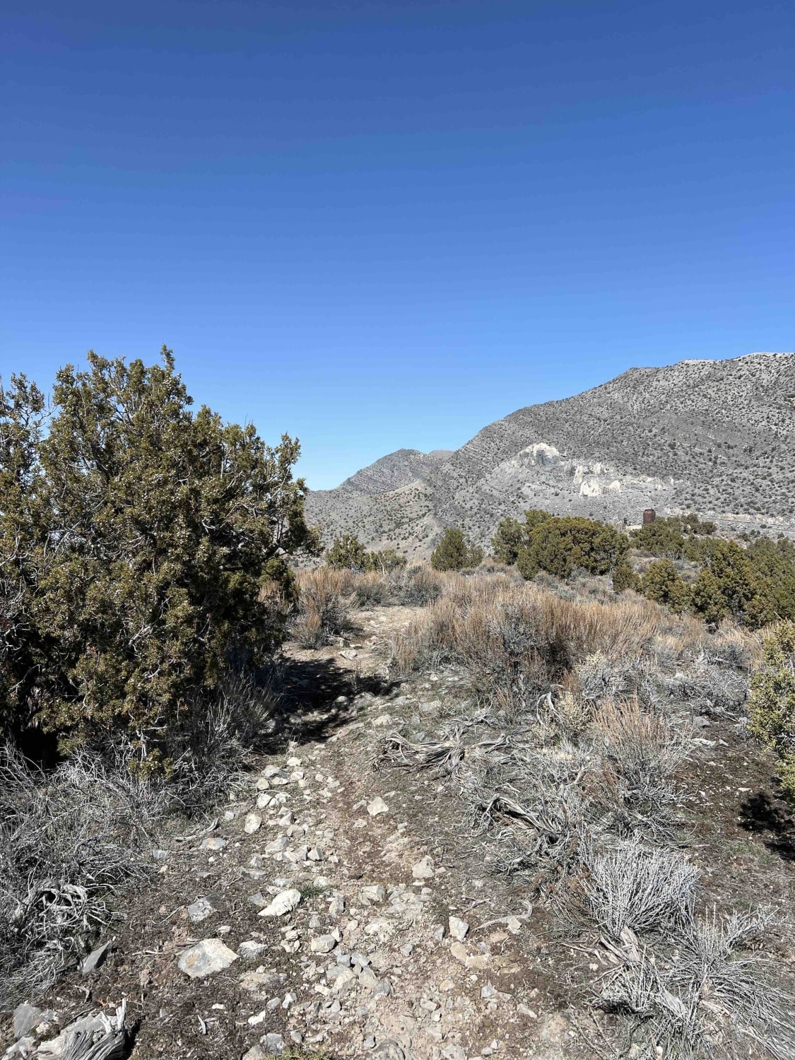
Mushroom Connector is a short bypass that breaks off from the top of Sidewinder and intersects the mining access road at the edge of BLM land. The trail runs north-south and descends about 400 feet from the peak. The trail is narrow with many embedded rocks and is decently steep in a couple of spots. It can be slick in the winter and spring with snow and mud from lack of sunshine.
Photos of Mushroom Connector
Difficulty
This is a short but steep and rocky trail in some areas. Embedded rocks are the only obstacles.
Status Reports
Mushroom Connector can be accessed by the following ride types:
- Dirt Bike
Mushroom Connector Map
Popular Trails

Rattlesnake Gulch to Toquerville Falls
Box Car Loop
North Skyline Drive

Sand Flats Road
The onX Offroad Difference
onX Offroad combines trail photos, descriptions, difficulty ratings, width restrictions, seasonality, and more in a user-friendly interface. Available on all devices, with offline access and full compatibility with CarPlay and Android Auto. Discover what you’re missing today!