Forest Service Road 403
Total Miles
0.7
Technical Rating
Best Time
Spring, Summer, Fall, Winter
Trail Type
Full-Width Road
Accessible By
Trail Overview
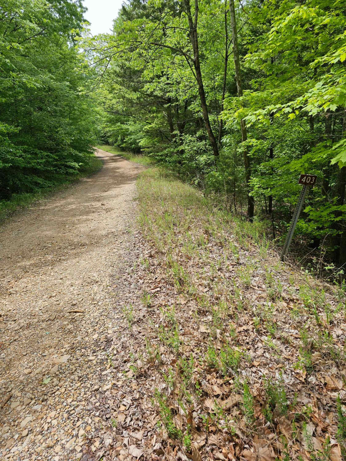
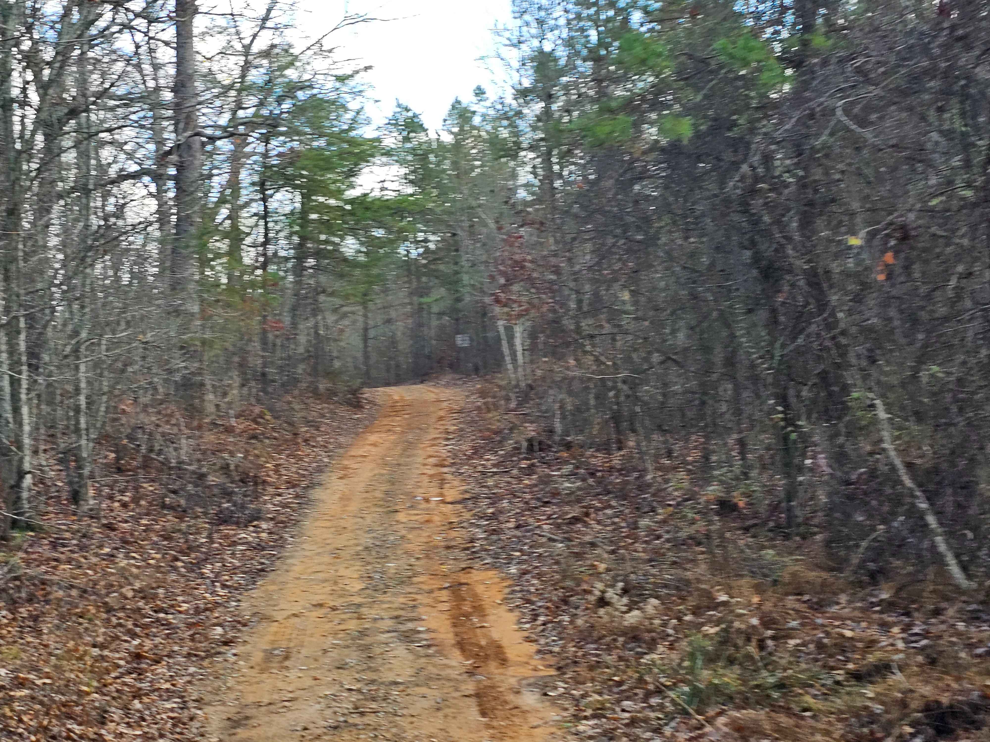
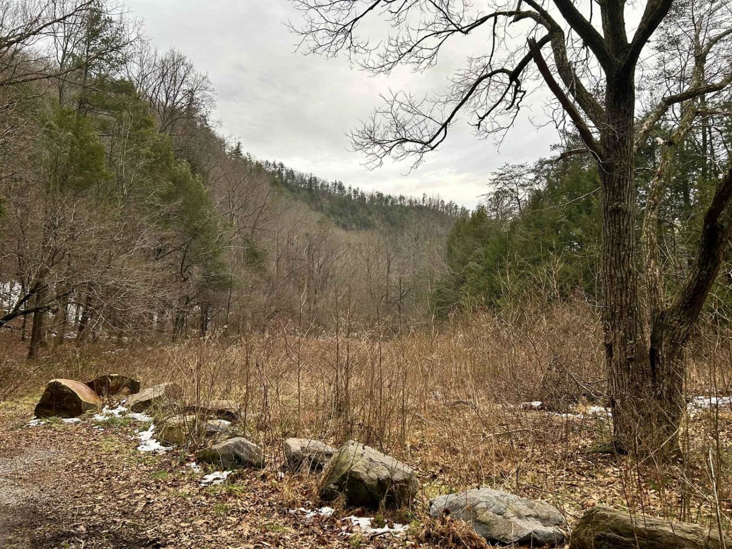
Forest Service Road 403 intersects with FSR 230 in the southwestern section of Land Between the Lakes and is a part of the Forest Service Road System at LBL. The trailhead is marked with a small numbered sign. The trail takes a southwesterly route and ends at the shoreline of Kentucky Lake in Lost Bay. The landscape is thick woods; minor pinstriping may be possible depending on the current growth. The trail is dirt and gravel with rutting and mudholes. Some of the mudholes are pretty deep but there are alternate routes around them. The rutting provides some sections with minor articulation, but again, smaller vehicles can get around with some careful driving. One section may be difficult to discern which direction to take--be sure to check ahead or you may need to back out. If you pay close attention to your surroundings, you can find a concrete dugout off to the side of this trail. These can be interesting sites to visit, and LBL has many archaeological elements to view. Keep your eyes open, and you will see evidence of previous inhabitants of the area, but be careful to not disturb or destroy these locations so others can enjoy them as well.
Photos of Forest Service Road 403
Difficulty
There are bypasses for most of the difficult obstacles. Take your time and have fun.
Forest Service Road 403 can be accessed by the following ride types:
- High-Clearance 4x4
- SUV
Forest Service Road 403 Map
Popular Trails
Baker Creek - Big Frog
Potters Ford Road
Paint Pond Trail
The onX Offroad Difference
onX Offroad combines trail photos, descriptions, difficulty ratings, width restrictions, seasonality, and more in a user-friendly interface. Available on all devices, with offline access and full compatibility with CarPlay and Android Auto. Discover what you’re missing today!

