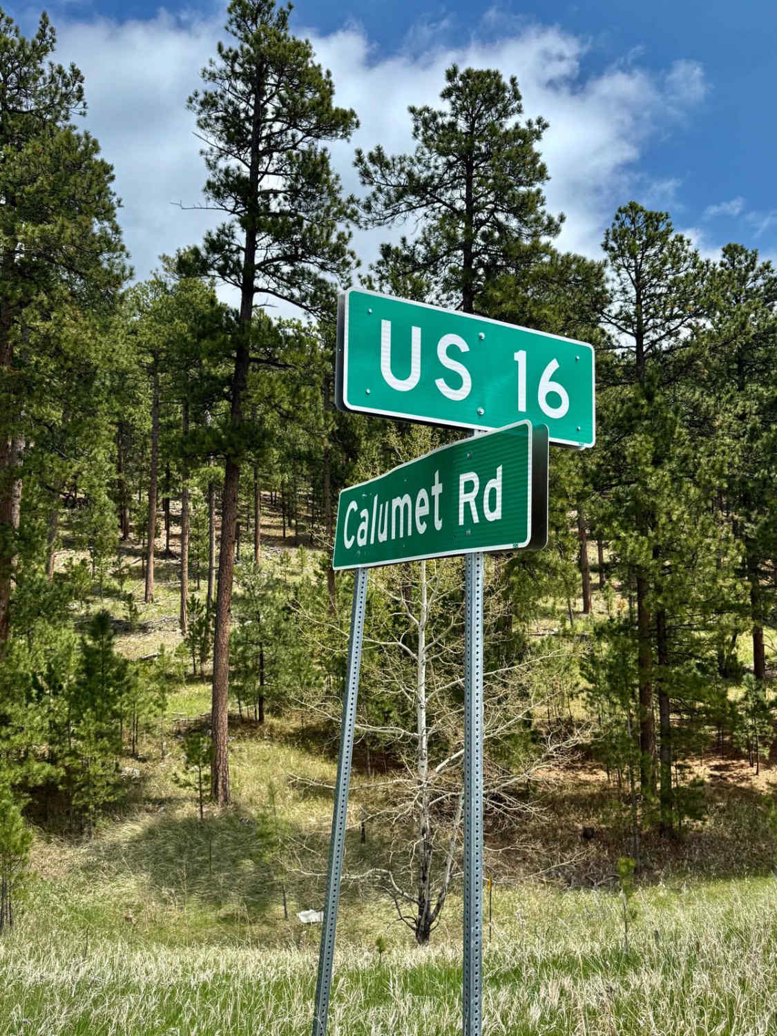
Calumet Road
Total Miles
4.8
Technical Rating
Best Time
Spring, Summer, Fall, Winter
Trail Type
Full-Width Road
Accessible By
Trail Overview
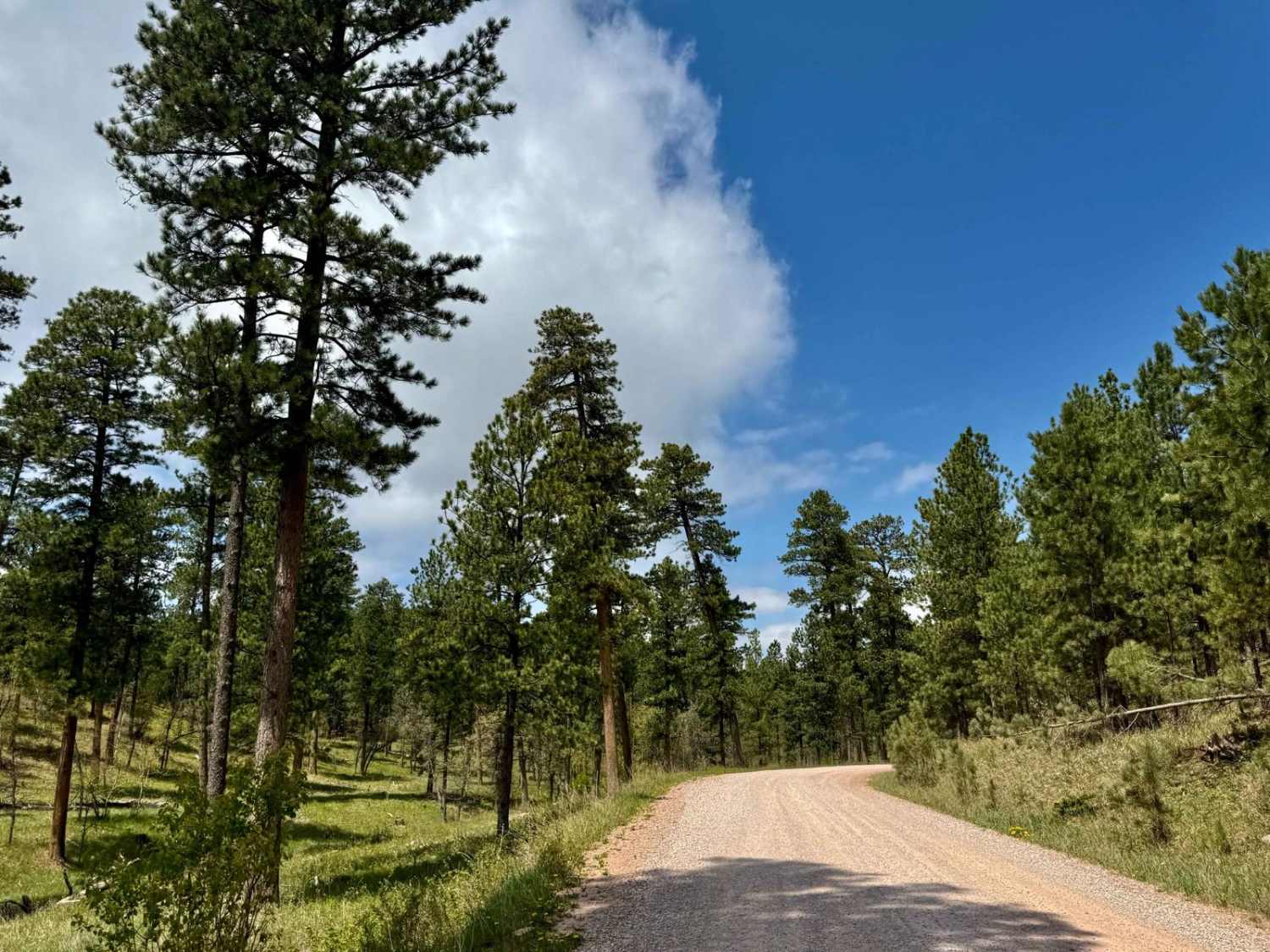
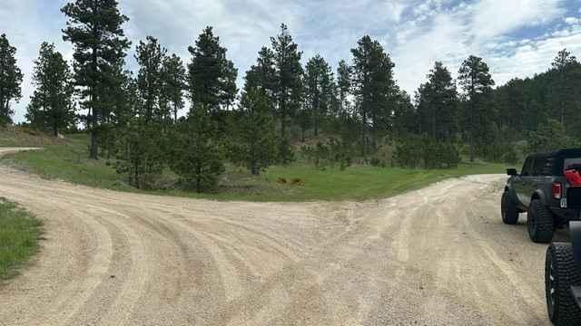
This is a well-maintained gravel route leading into one of the Black Hills' most popular recreation zones. Lined with towering pines and lake views, the road features numerous dispersed and designated camping spots, many with easy lake access. Ideal for all vehicle types, the route offers a peaceful entry to hiking, paddling, and biking trails surrounding Sheridan Lake. Expect smooth driving and excellent opportunities for a basecamp. Pack in, pack out, leave no trace, and tread lightly.
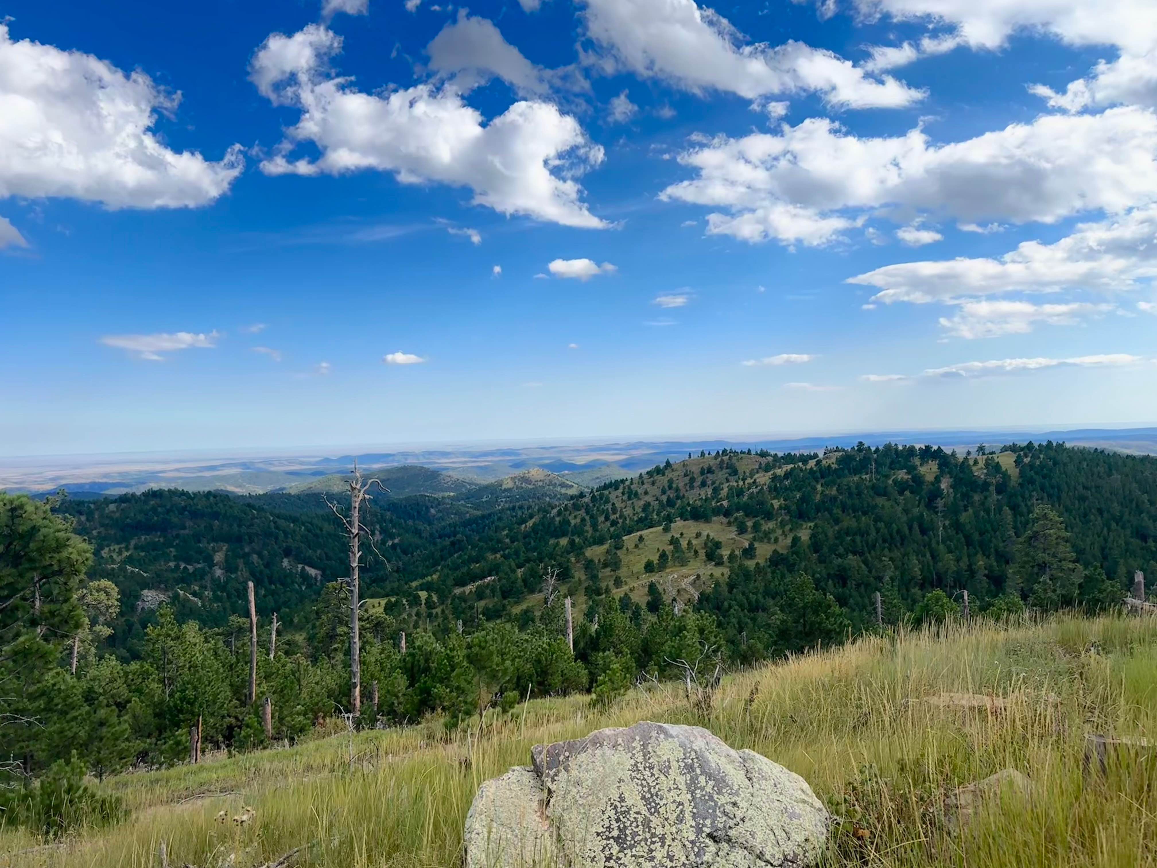
Photos of Calumet Road
Difficulty
This is an easy road, it is a one-lane road in some spots.
Status Reports
Calumet Road can be accessed by the following ride types:
- High-Clearance 4x4
- SUV
- SxS (60")
- ATV (50")
- Dirt Bike
Calumet Road Map
Popular Trails
Calumet Road
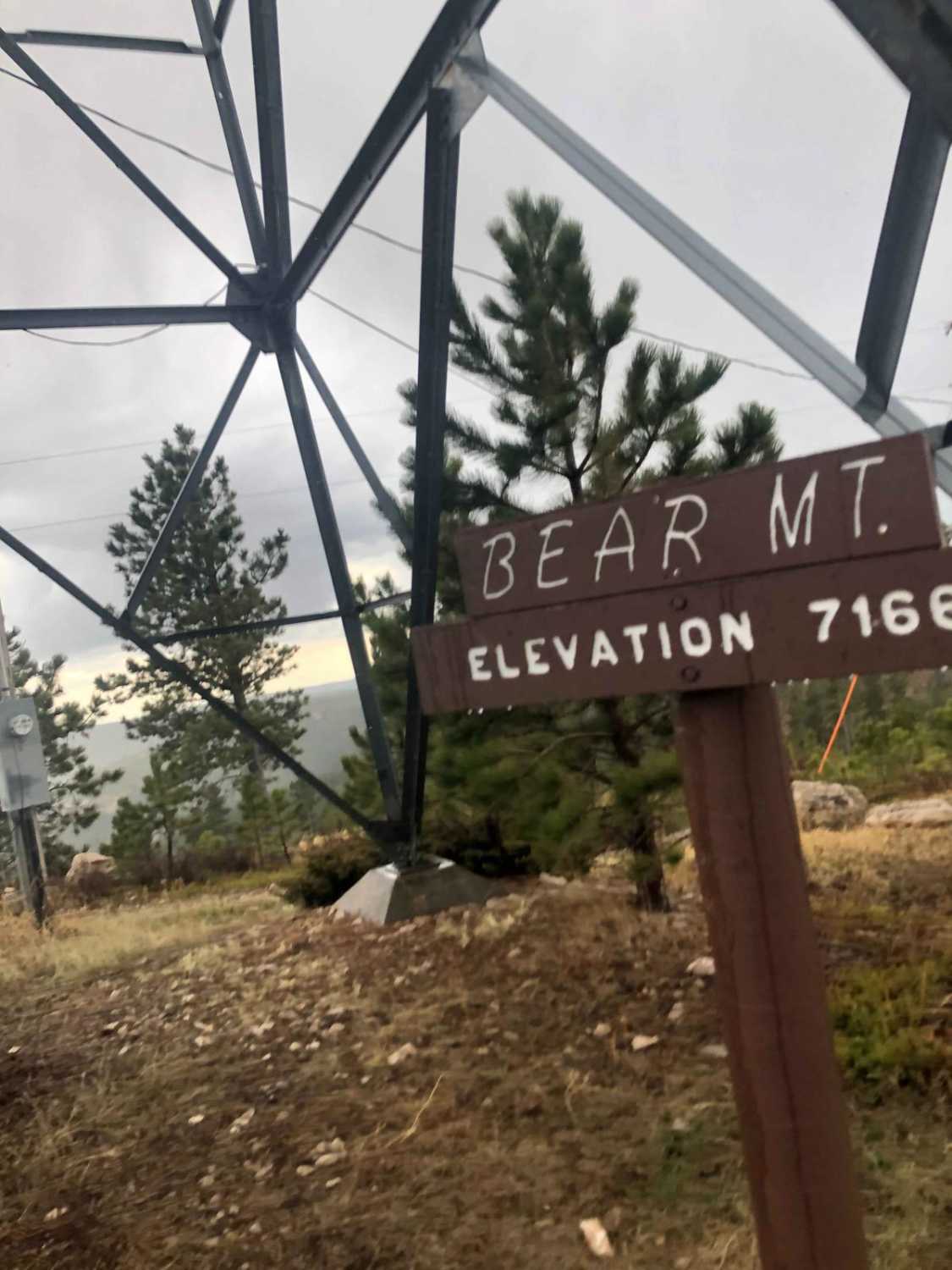
Bear Mountain Lookout
Cicero Peak Road
Veterans Peak Trail
The onX Offroad Difference
onX Offroad combines trail photos, descriptions, difficulty ratings, width restrictions, seasonality, and more in a user-friendly interface. Available on all devices, with offline access and full compatibility with CarPlay and Android Auto. Discover what you’re missing today!