Bogus 6325
Total Miles
3.2
Technical Rating
Best Time
Summer, Fall, Spring
Trail Type
Single Track
Accessible By
Trail Overview
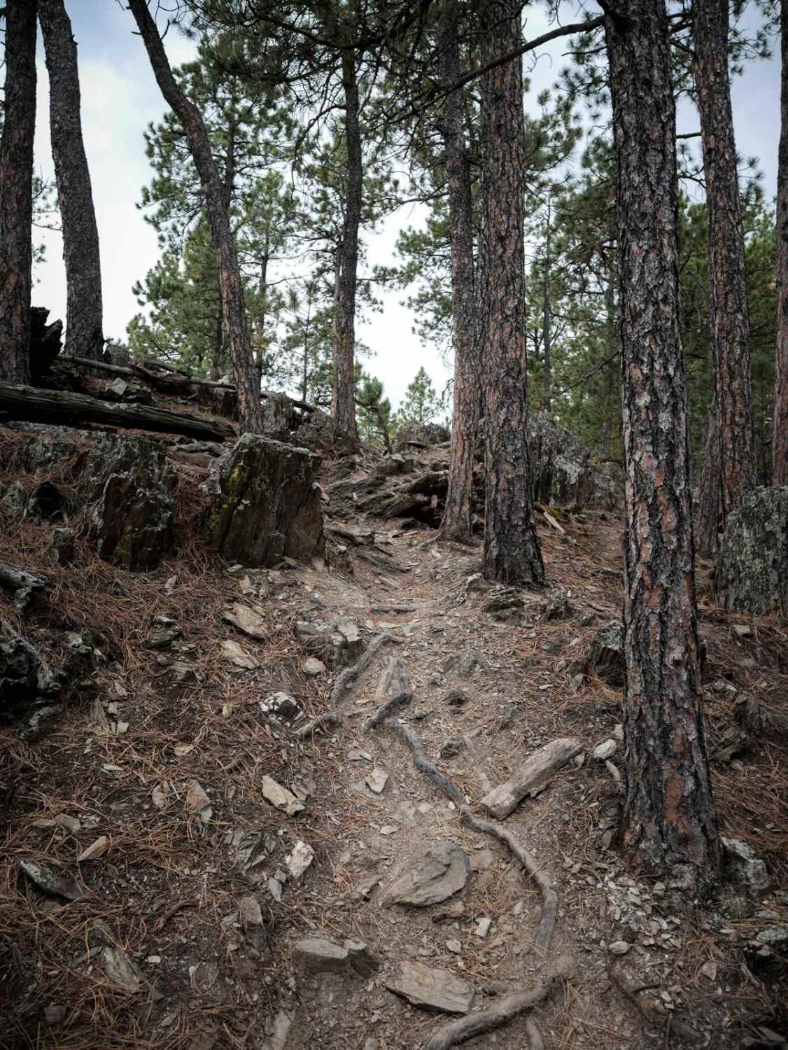
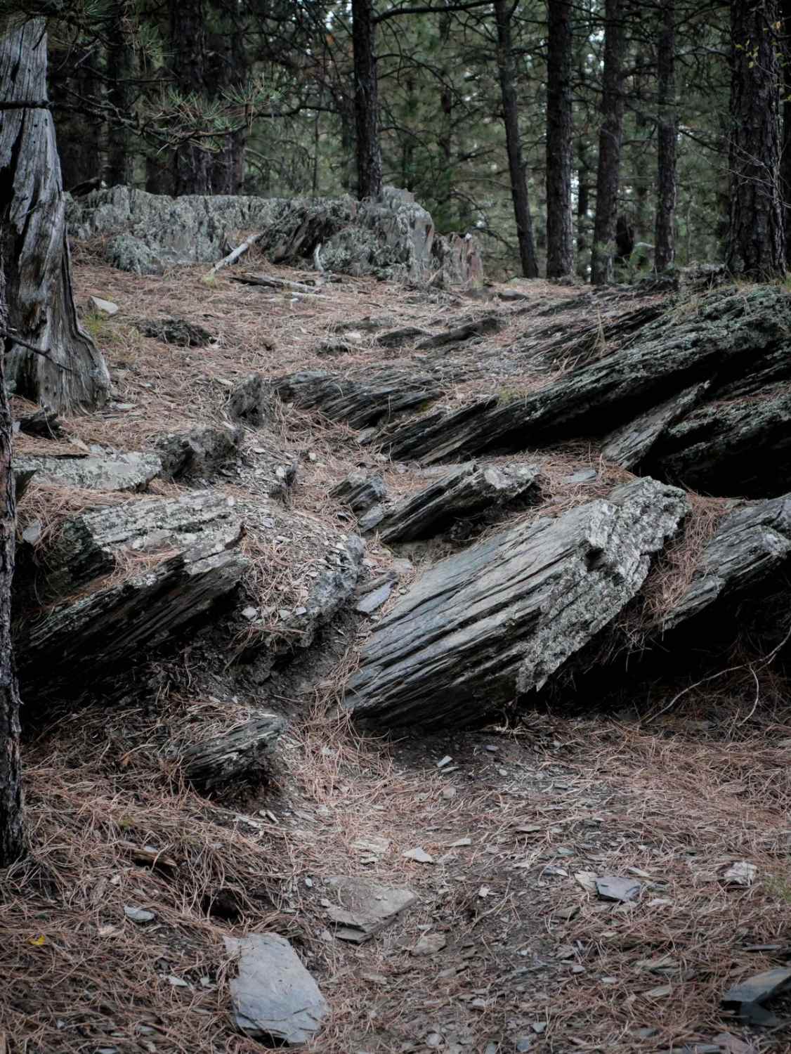
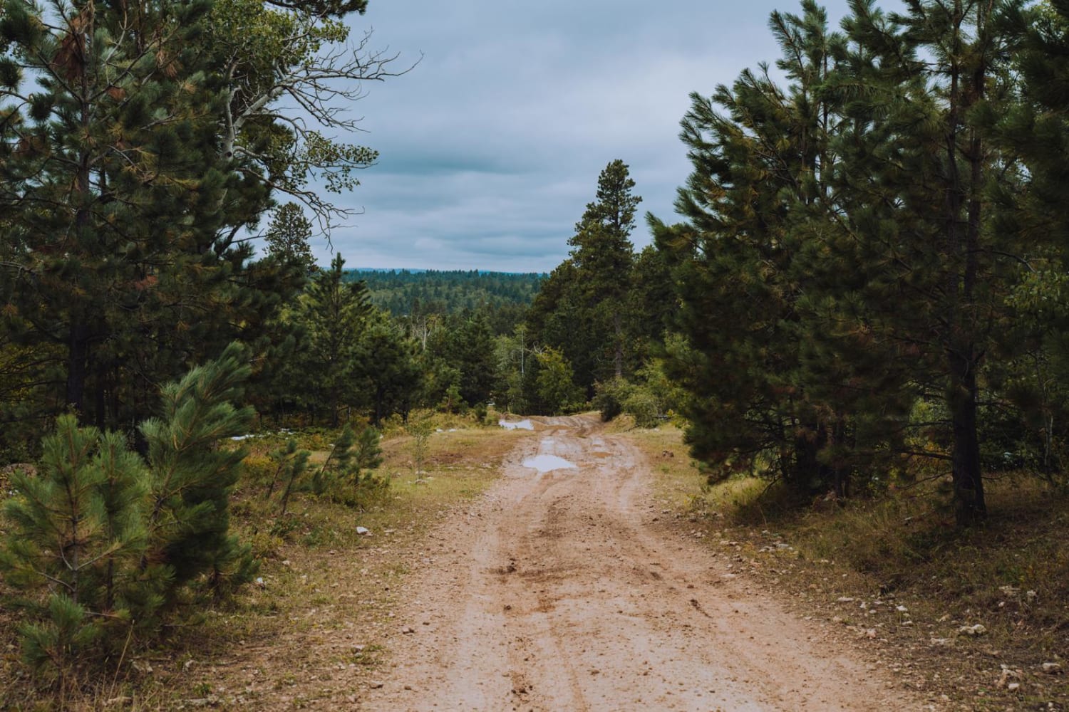
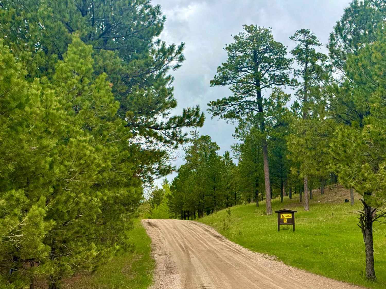
6325 is a 3.2-mile-long single track through the Black Hills with several technical rocky sections that make it one of the harder trails in the area. It gains almost 1,300 feet as it goes east to west. It's steepest on the east end, with most of the climbing being in the first mile. It starts in a smooth grassy meadow, then gets rockier. There are small embedded rocks during the hill climbs. There is a trickier climb with roots and rocks and big boulders lining the trail, and more embedded uneven rock. There's a big log down on the trail that you have to get over. The hill climbs require some technical experience, there are many sections with very rocky surfaces that make it a tiring ride. Watch out for a couple of tight switchbacks as well that add to the difficulty. There are uneven layers of embedded rock that you have to go up and over.
Photos of Bogus 6325
Difficulty
This is an intermediate single track due to rock ledges up to a foot tall, steep rocky climbs, and tight switchbacks.
Status Reports
Bogus 6325 can be accessed by the following ride types:
- Dirt Bike
Bogus 6325 Map
Popular Trails
Newton 24/25
Beretta Road - FS 366.3

Victoria 162
The onX Offroad Difference
onX Offroad combines trail photos, descriptions, difficulty ratings, width restrictions, seasonality, and more in a user-friendly interface. Available on all devices, with offline access and full compatibility with CarPlay and Android Auto. Discover what you’re missing today!
