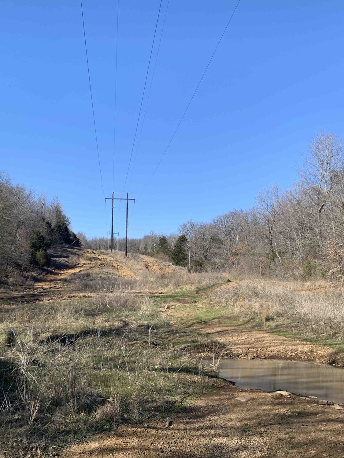
Power Line
Total Miles
0.5
Technical Rating
Best Time
Summer, Spring, Fall, Winter
Trail Type
High-Clearance 4x4 Trail
Accessible By
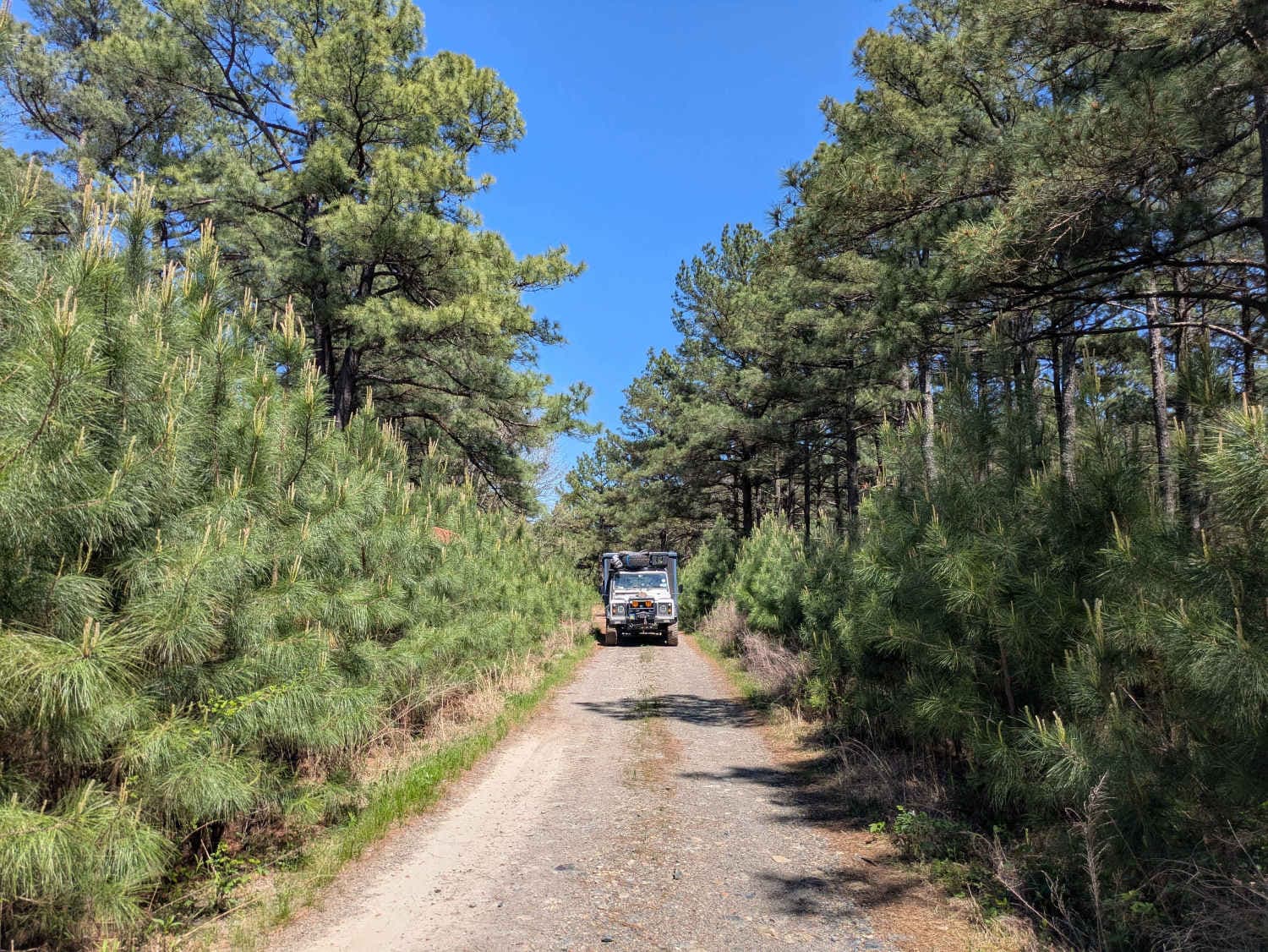
Trail Overview
Nice wide-open Power Line trail. Has many elevation changes, and different routes to take. Go left up the hill for the hard-line, and go right for the slower-paced but more technical line. Great place to park and watch others attempt hill climbs and descents.
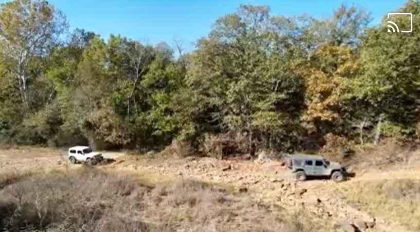
Photos of Power Line
Difficulty
Nothing too technical, very wide trail.
History
Donated by the Federal Government to Muskogee County in 1990 after being declared surplus, it was part of the Military Installation "Camp Gruber."
Power Line can be accessed by the following ride types:
- High-Clearance 4x4
- SxS (60")
- ATV (50")
- Dirt Bike
Power Line Map
Popular Trails
Jeff's Trail
The onX Offroad Difference
onX Offroad combines trail photos, descriptions, difficulty ratings, width restrictions, seasonality, and more in a user-friendly interface. Available on all devices, with offline access and full compatibility with CarPlay and Android Auto. Discover what you’re missing today!