West 780
Total Miles
0.5
Technical Rating
Best Time
Winter, Fall, Spring, Summer
Trail Type
Full-Width Road
Accessible By
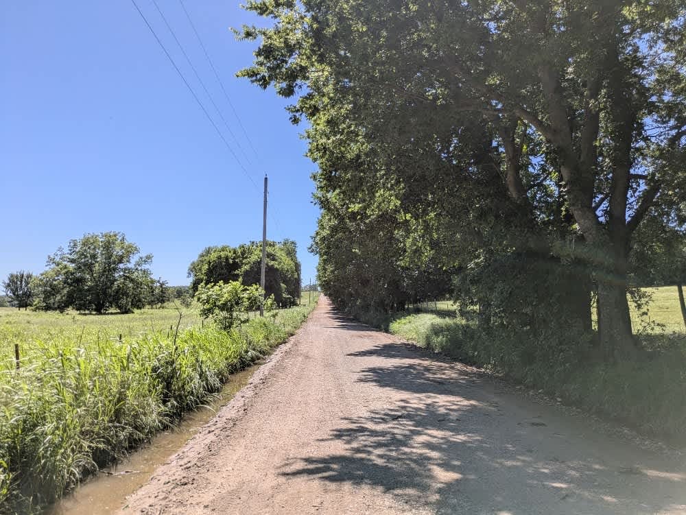
Trail Overview
The trail is part of the Oklahoma Adventure Trail and follows a maintained gravel but with bumps and potholes in sections. In several stretches, the roadway narrows, flanked by drainage ditches that leave little margin for error, so a cautious pace is essential when the possibility of meeting oncoming traffic looms. The track threads through pastures alive with cattle and horses, skirting the boundaries of the Flying Y Ranch and offering fleeting glimpses of ranch life framed by distant hills. Travelers will find neither formal nor dispersed campsites, and the absence of trash receptacles, potable water, and reliable cellular coverage demands self-sufficiency; the OnX app remains the best guide for any pockets of reception.
Photos of West 780

Difficulty
The trail is well-maintained and routinely graded to support a range of local use, from daily agricultural traffic by farmers to occasional travelers and outdoor enthusiasts passing through the area. Its good condition makes it easily accessible and reliable for all types of vehicles.
History
The Oklahoma Adventure Trail is a unique and ever-changing route that crosses through the state and allows visitors to avoid major roads and towns. Created by two Oklahomans and contributed to by numerous more, this trail is 70 percent dirt roads and 30 percent paved, and takes riders and hikers through scenic, historical, and diverse regions throughout Oklahoma.
Status Reports
West 780 can be accessed by the following ride types:
- High-Clearance 4x4
- SUV
West 780 Map
Popular Trails
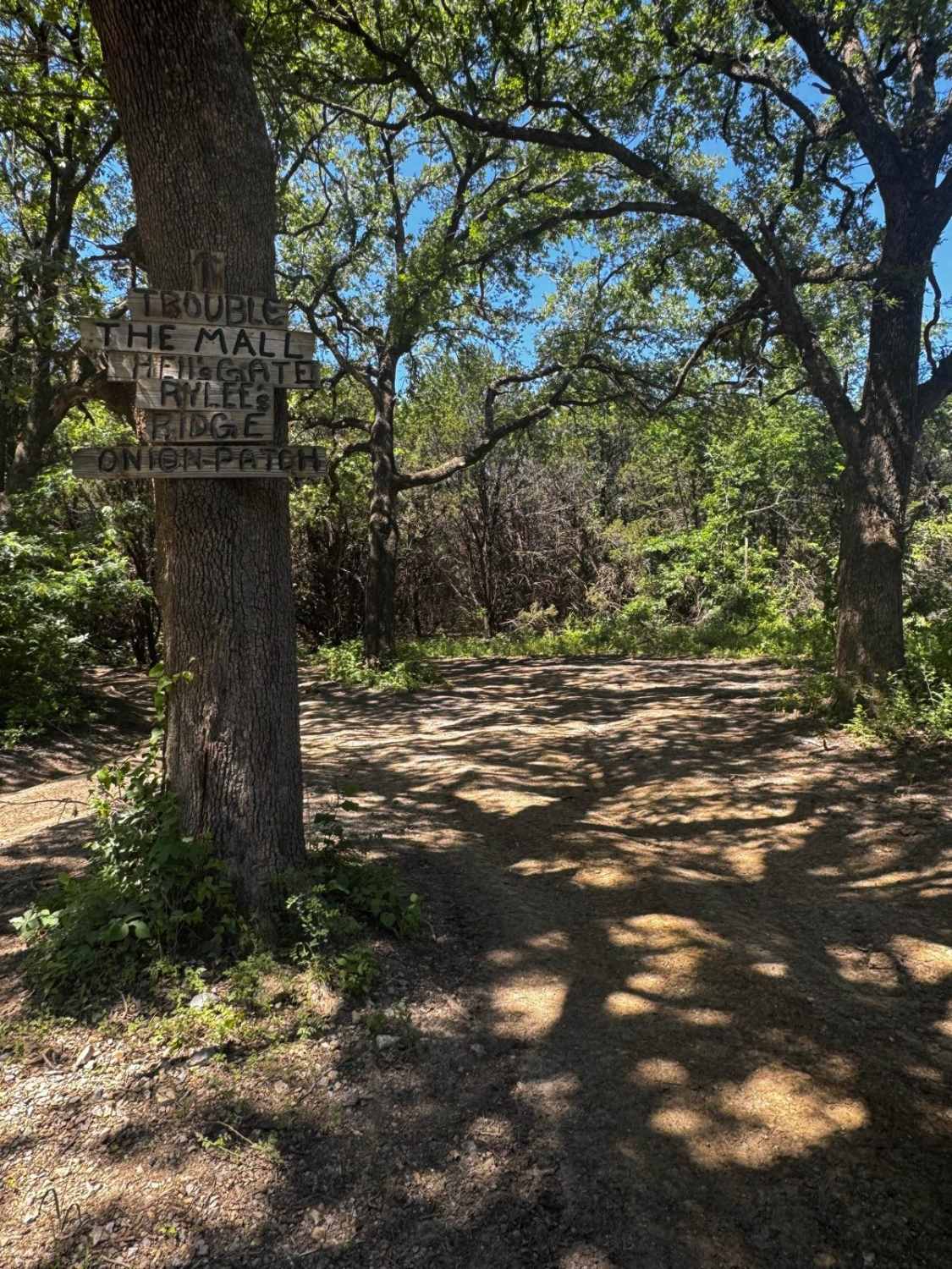
Riley's Ridge

East Signal Mountain
The onX Offroad Difference
onX Offroad combines trail photos, descriptions, difficulty ratings, width restrictions, seasonality, and more in a user-friendly interface. Available on all devices, with offline access and full compatibility with CarPlay and Android Auto. Discover what you’re missing today!