
Off-Road Trails in Oklahoma
Discover off-road trails in Oklahoma
Off-Road Trails in Oklahoma
Discover the best off-road trails in Oklahoma. Browse trail maps, check difficulty ratings, and find your next adventure — whether you're looking for a quick ride or an all-day expedition.
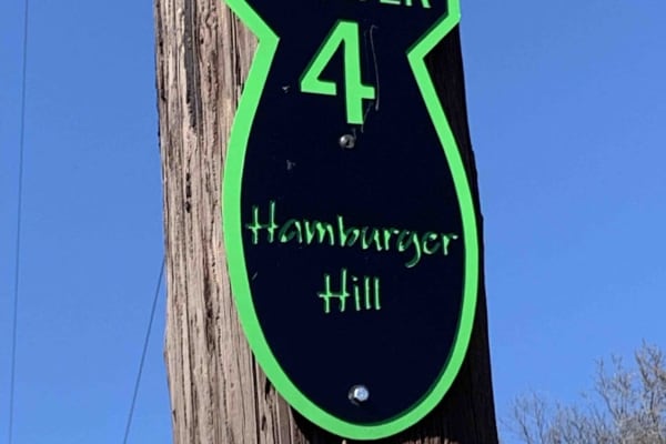
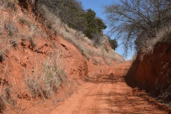
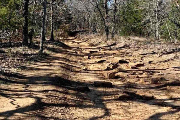
Hamburger Hill
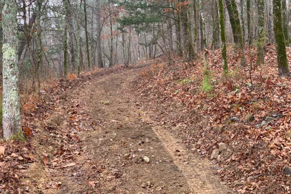
This appears to be a wide-open trail, and it is. But it is a long, steep climb from the bottom to the top. Multiple lines to approach this climb, some are easier than others. Expect loose rolling rocks, 12" shelves to bump over, and about 100' of elevation change. 4 Low gears are highly recommended ...
Learn more about Hamburger Hill
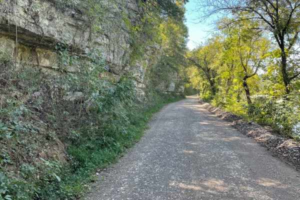
Sugar Creek Loop
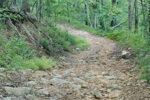
Sugar Creek Loop is a great scenic drive with a handful of technical obstacles. It is short enough to be a day trip escape from the city, but still gives the sense that you are out exploring. Most of the loop is made up of dirt and gravel roads, with some portions of pavement and sand to help link t...
Learn more about Sugar Creek Loop
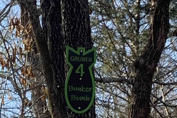
Bunker Bomb
Gruber ORV Park is a free park, open to the public 24/7 with the exception of special events. Expect dirt bikes, ATVs, UTVs, and full-size vehicle trails. Stock rigs all the way up to rock crawler rigs will enjoy the variety of terrain. (Don't forget to find the bluff area with a spectacular view o...
Learn more about Bunker Bomb
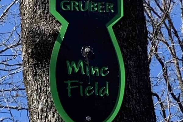
Mine Field
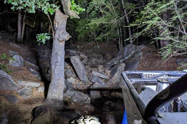
This isn't really a trail, more of a playground. Rocks, boulders, and more rocks are to be found here. There is no particular entrance or exit. It is just a vast array of huge rocks to play around on. Trials Bike riders love this area. It is a great place for you and your buddies to watch each othe...
Learn more about Mine Field
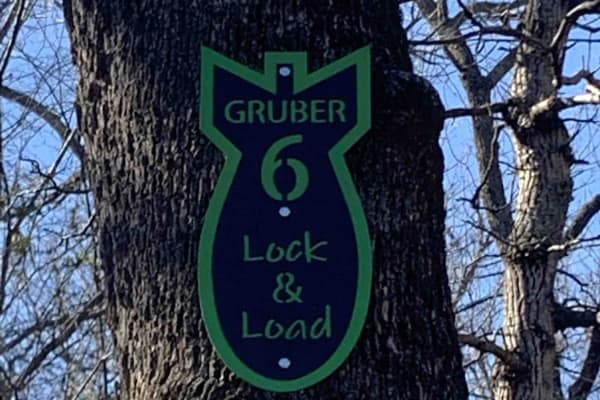
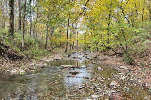
Lock & Load
On this trail, you'll find a beautiful creek with large rocks and an active stream. It is great for rock crawling and flexing out your rig. If you make it up, turn around and try it going down. "Escape" the path halfway through in case you are in over your head. Damage to the rig is possible.
Learn more about Lock & Load
Tsalagi Trail East
A beautiful and leisurely drive through a small section of the eastern side of the Cherokee Nation. This route is approximately 58 miles long and can be completed in 2-5 hours, depending on the speed of travel and any stops along the way. The route is all county roads and can be completed by any 4x4...
Learn more about Tsalagi Trail East
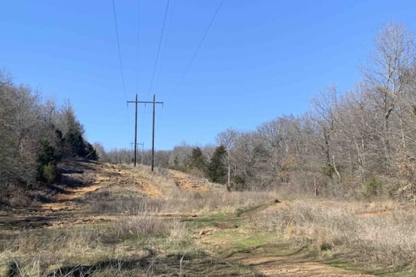
Power Line
Nice wide-open Power Line trail. Has many elevation changes, and different routes to take. Go left up the hill for the hard-line, and go right for the slower-paced but more technical line. Great place to park and watch others attempt hill climbs and descents.
Learn more about Power Line
Heartbreak Ridge
Tough trail, for advanced drivers only. Steep, loose rocks and ledges down into a ravine that ends with a 180 at the bottom. Then a long, tough, rock-crawling hill climbs out of the ravine. 35" or bigger tires are required, lockers are recommended, and the winch will likely be used at least once.
Learn more about Heartbreak Ridge
Bunker Hill Loop
Great trail that makes a loop, can do it over and over again! Several other trails branch off to other areas of the park. This is a relatively easy ride, but several tight squeezes between trees, Full-size rigs, beware! Be prepared for several left, right, left, and right turns to make it through th...
Learn more about Bunker Hill Loop
Cedar Creek Trail
This trail is a dirt/gravel road that is well maintained. There are several low water crossing along this trail with 3'' to 8'' of water to cross and all with concrete drive-throughs. The gravel road has loose rocks and some washouts/mud holes. Cedar Creek runs along the side of the entire trail. To...
Learn more about Cedar Creek Trail
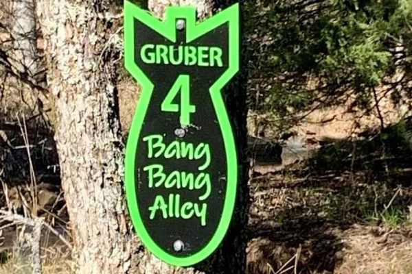
Bang Bang Alley
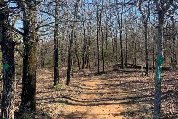
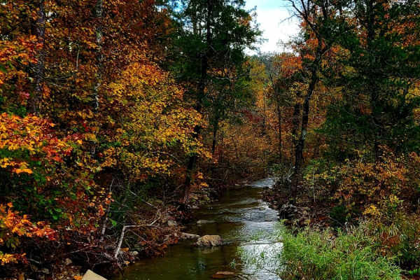
This trail is a slight up hill climb, few rocks to negotiate, water flowing on trail if recently rained, and tight woods. Begins on the power line area and ends near the county road inside the park. Beautiful fall foliage in the autumn, the potential for some snow covering the trail in the winter.
Learn more about Bang Bang Alley
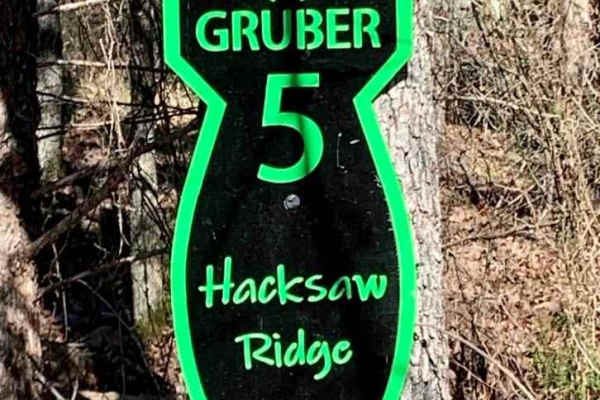
Hacksaw Ridge
Hacksaw Ridge is a short rock-crawling delight. Large boulders, deep holes, and slick surfaces when water is flowing. This will test the tire placement, articulation, and traction of you and your rig. Rocker protection and skid plates are highly recommended before attempting this trail. Lockers are...
Learn more about Hacksaw Ridge
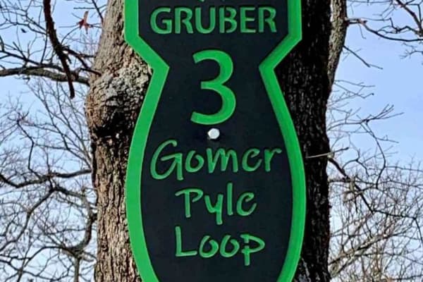
Gomer Pyle Loop
This trail is the Main Loop trail around the border of Gruber ORV Park. It is the easiest trail in the park and begins and ends near the entrance to the park. It has multiple types of terrain from rocks, dirt, berms, and ledges, and one of the most views of the Arkansas River and communities of Musk...
Learn more about Gomer Pyle Loop
Glover River Camp Route
This trail links a few different forest roads together to end at an amazing open camp area with room for several rigs and easy access to the glover river. It has several small water crossings and minor obstacles. Some of the trail is very tight, and most of it is slow rolling. It has amazing views ...
Learn more about Glover River Camp Route
Interceptor
Easy terrain, wide enough for a full-size vehicle, widens out halfway through, then single vehicle again. This trail begins in the powerline area and finishes at the county road that runs through the park. Fun to go one way, turn around, and go back the other way. Look for wildlife to the left and r...
Learn more about Interceptor
FR 5400 to 54037
This trail is right off of the main HWY 259, and has plenty of amazing views and off shoot trails to explore. This trail is also seasonal so please check the maps and signs. It appears to have a decent camping spot at the end near the water, but it would only be accessible for smaller well built 4...
Learn more about FR 5400 to 54037
Fish Fry Creek Road
This beautiful trail takes you down to the Mountain Fork River edge. This is one of the few trails in the area that you can actually descend all the way to the water and camp on the banks of the Mountain Fork River. There are some muddy puddles and some spots of erosion that you will need require te...
Learn more about Fish Fry Creek Road
Little Cedar Bounce
This trail is in the Ouachita Wildlife Management Area. At 6.5 miles, be ready to spend a good one to two hours on the trail. This trail is very rough, with rocks varying in size from small to skid plate basher. Ground clearance is a plus on this trail. Some rock ledges exist up to around 12 inches....
Learn more about Little Cedar Bounce
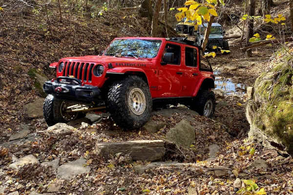
Spring Creek
One of the signature trails at Rugged Mountain Ranch, Spring Creek is a must-run. It's got some large rocks and one tough waterfall at the beginning of the trail. That said, it's super close to camp so it's a good difficult shakedown trail. Expect the rocks to have moved around since the last time y...
Learn more about Spring Creek

Shell Rock Road
This road is mostly rock/shale/gravel Forest Service Road. It is a rough rocky road with deep shoulder drop-offs from 3' to 30' in some areas. There is Shell Rock creek that runs along it. The foliage in the fall makes for an excellent trail. Wildlife is out along this trail. The trail can be run in...
Learn more about Shell Rock Road
ATV trails in Oklahoma
Explore ATV-friendly trails in Oklahoma. These trails are accessible for vehicles up to 50 inches wide, perfect for ATVs and smaller off-road machines.
Hamburger Hill
This appears to be a wide-open trail, and it is. But it is a long, steep climb from the bottom to the top. Multiple lines to approach this climb, some are easier than others. Expect loose rolling rocks, 12" shelves to bump over, and about 100' of elevation change. 4 Low gears are highly recommended ...
Learn more about Hamburger Hill
Bunker Bomb
Gruber ORV Park is a free park, open to the public 24/7 with the exception of special events. Expect dirt bikes, ATVs, UTVs, and full-size vehicle trails. Stock rigs all the way up to rock crawler rigs will enjoy the variety of terrain. (Don't forget to find the bluff area with a spectacular view o...
Learn more about Bunker Bomb
Mine Field
This isn't really a trail, more of a playground. Rocks, boulders, and more rocks are to be found here. There is no particular entrance or exit. It is just a vast array of huge rocks to play around on. Trials Bike riders love this area. It is a great place for you and your buddies to watch each othe...
Learn more about Mine Field
Lock & Load
On this trail, you'll find a beautiful creek with large rocks and an active stream. It is great for rock crawling and flexing out your rig. If you make it up, turn around and try it going down. "Escape" the path halfway through in case you are in over your head. Damage to the rig is possible.
Learn more about Lock & Load
UTV/side-by-side trails in Oklahoma
Find UTV and side-by-side trails in Oklahoma. These trails accommodate vehicles up to 60 inches wide, ideal for UTVs, side-by-sides, and wider off-road rigs.
Hamburger Hill
This appears to be a wide-open trail, and it is. But it is a long, steep climb from the bottom to the top. Multiple lines to approach this climb, some are easier than others. Expect loose rolling rocks, 12" shelves to bump over, and about 100' of elevation change. 4 Low gears are highly recommended ...
Learn more about Hamburger Hill
Bunker Bomb
Gruber ORV Park is a free park, open to the public 24/7 with the exception of special events. Expect dirt bikes, ATVs, UTVs, and full-size vehicle trails. Stock rigs all the way up to rock crawler rigs will enjoy the variety of terrain. (Don't forget to find the bluff area with a spectacular view o...
Learn more about Bunker Bomb
Mine Field
This isn't really a trail, more of a playground. Rocks, boulders, and more rocks are to be found here. There is no particular entrance or exit. It is just a vast array of huge rocks to play around on. Trials Bike riders love this area. It is a great place for you and your buddies to watch each othe...
Learn more about Mine Field
Lock & Load
On this trail, you'll find a beautiful creek with large rocks and an active stream. It is great for rock crawling and flexing out your rig. If you make it up, turn around and try it going down. "Escape" the path halfway through in case you are in over your head. Damage to the rig is possible.
Learn more about Lock & Load
The onX Offroad Difference
onX Offroad combines trail photos, descriptions, difficulty ratings, width restrictions, seasonality, and more in a user-friendly interface. Available on all devices, with offline access and full compatibility with CarPlay and Android Auto. Discover what you're missing today!
Open Trail Map