Fish Fry Creek Road
Total Miles
1.2
Technical Rating
Best Time
Spring, Fall, Summer, Winter
Trail Type
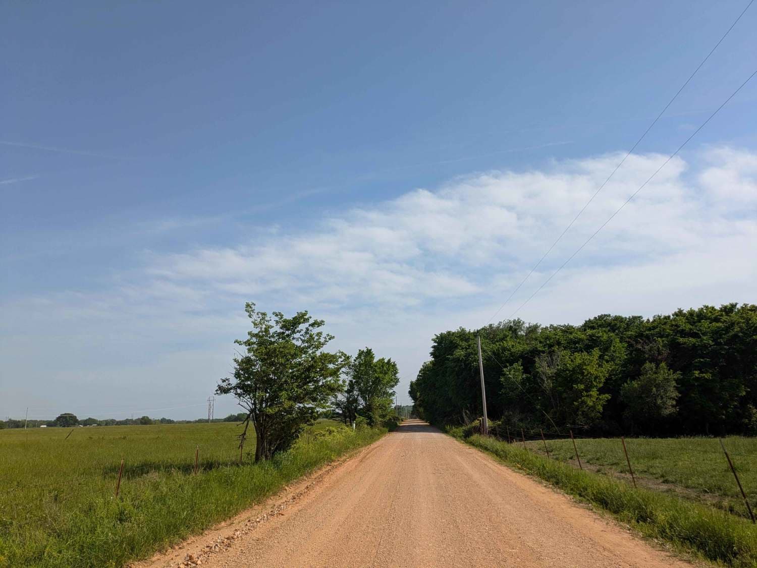
Full-Width Road
Accessible By
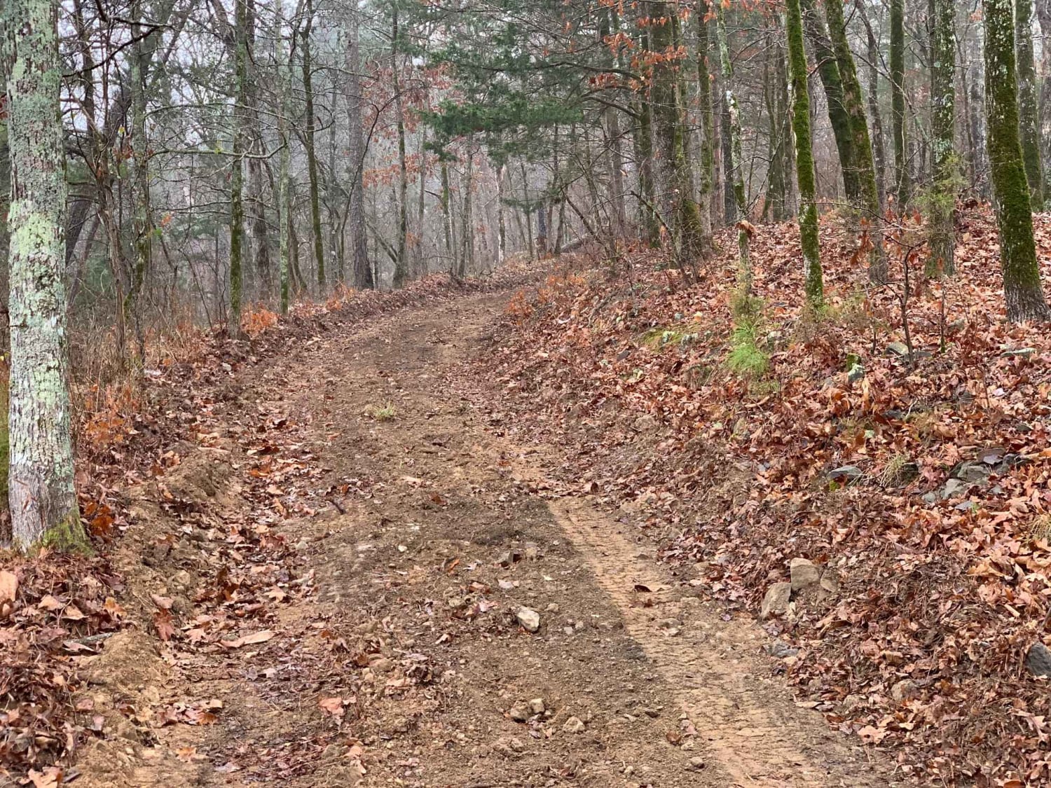
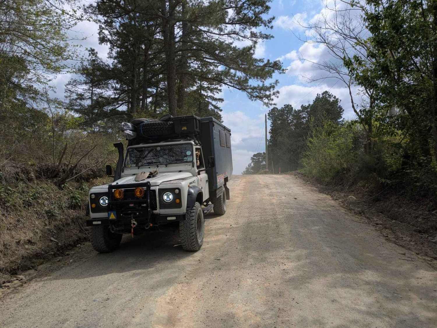
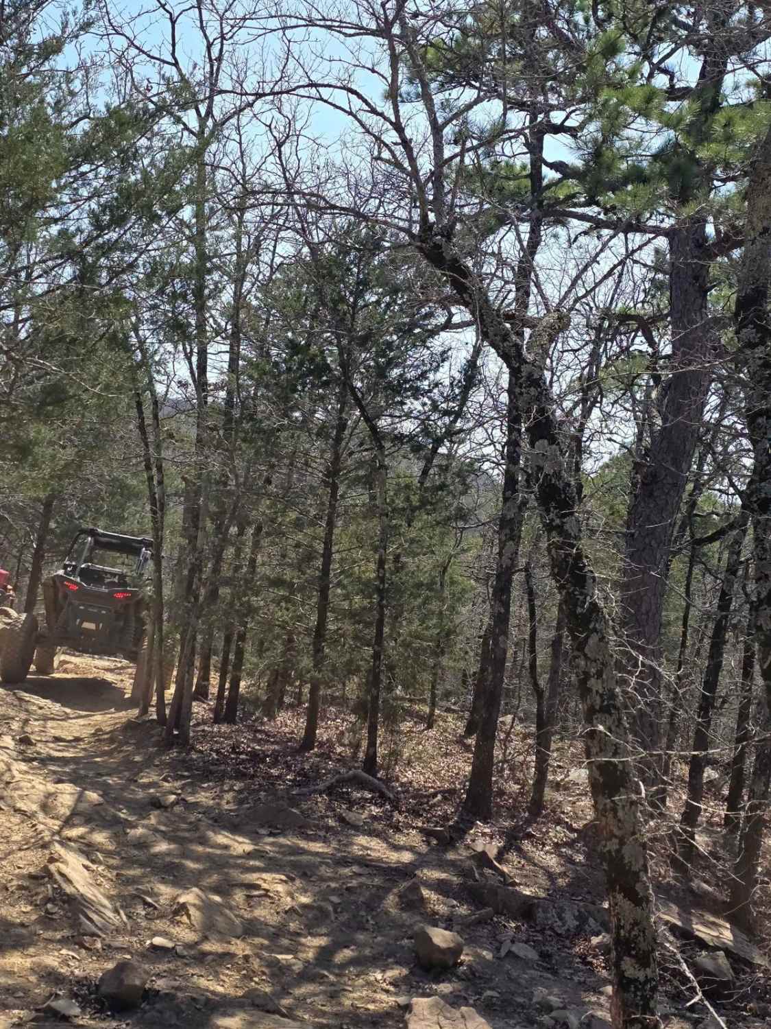
Trail Overview
This beautiful trail takes you down to the Mountain Fork River edge. This is one of the few trails in the area that you can actually descend all the way to the water and camp on the banks of the Mountain Fork River. There are some muddy puddles and some spots of erosion that you will need require technical driving for, but nothing is more technical than the end descent to the water. A bulldozer has come through to widen the road and has left deep ruts and large drops hidden by the loose dirt. There is an abandoned and burned van left about three-quarters through the trial. It is on the south side of the trial and worth making a pitstop to check out.
Photos of Fish Fry Creek Road

Difficulty
At the start of the trail there are some muddy puddles that can easily swallow the road with rainfall.near the middle and through to the end of the trail are very eroded areas that will require technical slow driving. A bull dozer has widened the road but beware as it has also concealed some large rocks and large drops.
Status Reports
Fish Fry Creek Road can be accessed by the following ride types:
- High-Clearance 4x4
- SUV
- SxS (60")
- ATV (50")
- Dirt Bike
Fish Fry Creek Road Map
Popular Trails

Nani Chito Road
Lookout Access Trail
The onX Offroad Difference
onX Offroad combines trail photos, descriptions, difficulty ratings, width restrictions, seasonality, and more in a user-friendly interface. Available on all devices, with offline access and full compatibility with CarPlay and Android Auto. Discover what you’re missing today!