South 460
Total Miles
2.0
Technical Rating
Best Time
Summer, Fall, Winter, Spring
Trail Type
Full-Width Road
Accessible By
Trail Overview
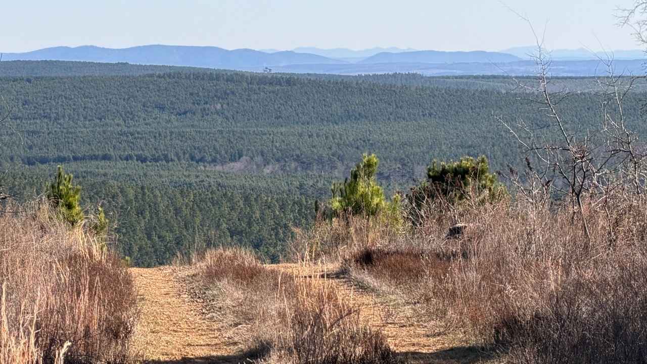
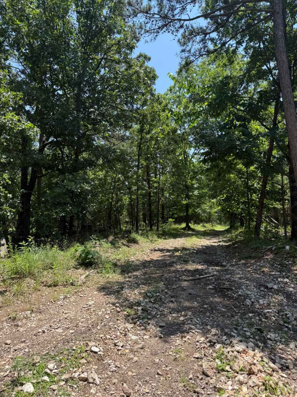
This gravel lane is part of the Oklahoma Adventure Trail and stays in decent shape overall, but it narrows where drainage ditches crowd the edges. The route rises and dips through rolling farmland, so plan on slowing for the occasional ranch truck or tractor that shares the road. When we rolled through in late May 2025, a string of storms had left limbs and debris scattered about, though a crew was already sawing and grading the worst spots. You will not find campsites, trash cans, or drinkable water out here, and cell service is spotty--double-check your OnX map before bars disappear.
Photos of South 460


Difficulty
The trail is well-maintained and routinely graded to support a range of local use, from daily agricultural traffic by farmers to occasional travelers and outdoor enthusiasts passing through the area. Its good condition makes it easily accessible and reliable for all types of vehicles.
History
The Oklahoma Adventure Trail is a unique and ever-changing route that crosses through the state and allows visitors to avoid major roads and towns. Created by two Oklahomans and contributed to by numerous more, this trail is 70 percent dirt roads and 30 percent paved, and takes riders and hikers through scenic, historical, and diverse regions throughout Oklahoma.
Status Reports
South 460 can be accessed by the following ride types:
- High-Clearance 4x4
- SUV
South 460 Map
Popular Trails

Bunker Hill
East Signal Mountain

Sycamore Creek
Casen's Trail
The onX Offroad Difference
onX Offroad combines trail photos, descriptions, difficulty ratings, width restrictions, seasonality, and more in a user-friendly interface. Available on all devices, with offline access and full compatibility with CarPlay and Android Auto. Discover what you’re missing today!