Holly Mountain Trail
Total Miles
7.3
Technical Rating
Best Time
Winter, Fall, Summer, Spring
Trail Type
Full-Width Road
Accessible By
Trail Overview
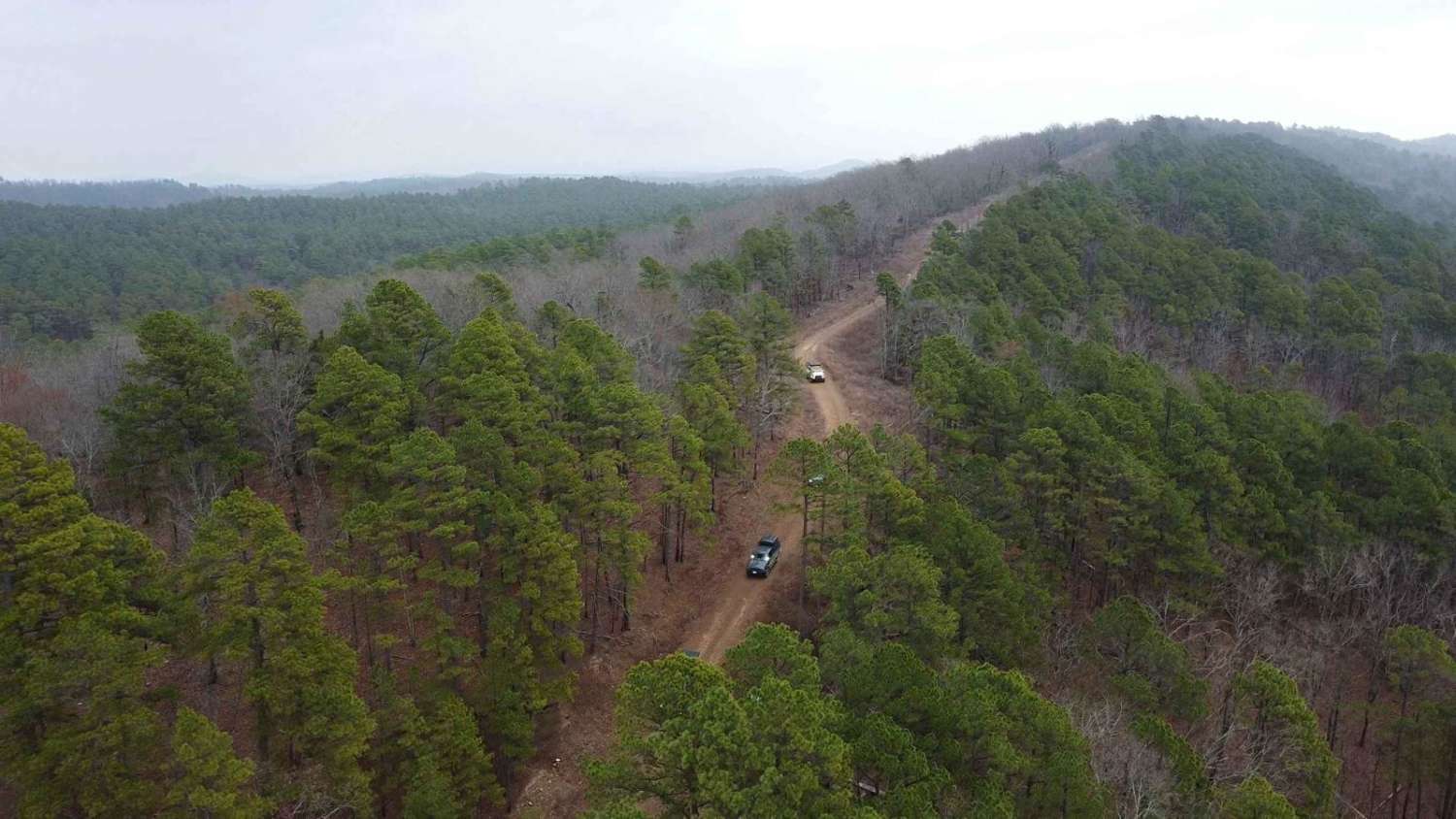
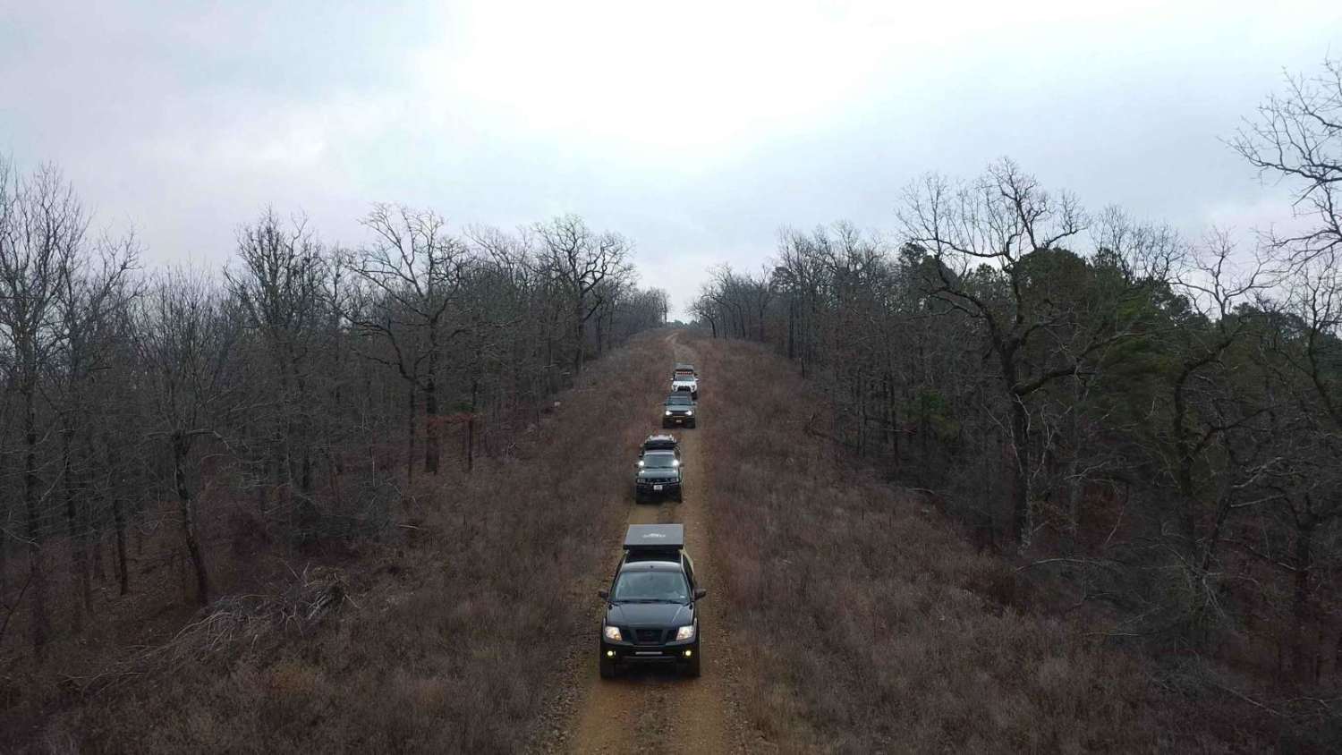
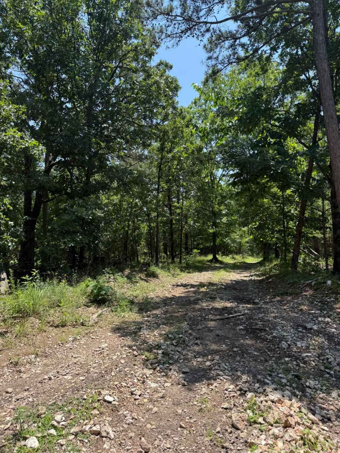
This trail begins on US259 and FR 54000. It will then connect to FR54256, which will lead you to FR54262, the "Holly Mountain Trail". This loose gravel road, with some minor rocky terrain, will have some minor climbs, so 4WD is recommended. Any stock vehicle with 6-8 inches of clearance can make it through. This trail will end at a campsite called Eagles Nest, which sits high on an overlook for a perfect view of the North side of Beavers Bend Lake and the Quachita Mountains. Beyond this point is private property. Approximately 4 rigs can fit here. There is also a fire pit on location. Enjoy the panoramic views in the morning as the sunset begins to rise behind the eastern mountains.
Photos of Holly Mountain Trail
Difficulty
Most stock vehicles can make it through, and this trail has no technical areas. Approximately 10 - 20 degrees of incline are on this trail, and 4x4 may be necessary to avoid slipping.
Status Reports
Holly Mountain Trail can be accessed by the following ride types:
- High-Clearance 4x4
- SUV
- SxS (60")
- ATV (50")
- Dirt Bike
Holly Mountain Trail Map
Popular Trails
Spring Creek
Ana's Trail
Casen's Trail
Tableville Road
The onX Offroad Difference
onX Offroad combines trail photos, descriptions, difficulty ratings, width restrictions, seasonality, and more in a user-friendly interface. Available on all devices, with offline access and full compatibility with CarPlay and Android Auto. Discover what you’re missing today!
