Brown Mountain Beech Road
Total Miles
2.4
Technical Rating
Best Time
Spring, Summer, Fall
Trail Type
Full-Width Road
Accessible By
Trail Overview
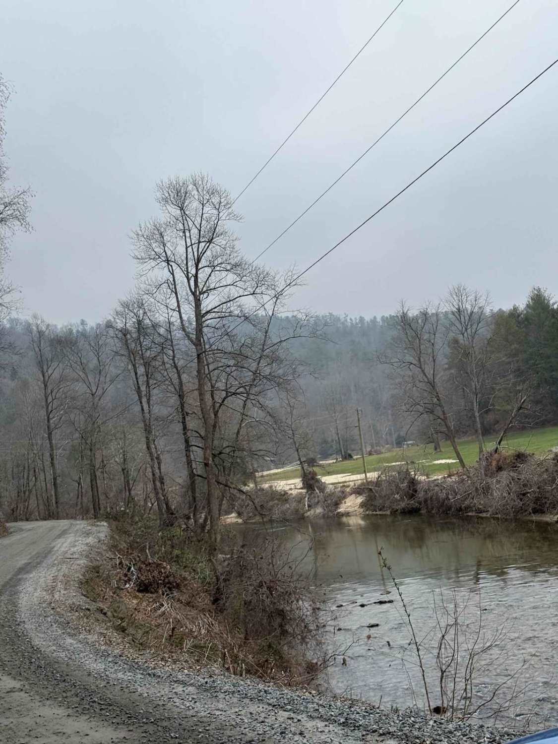
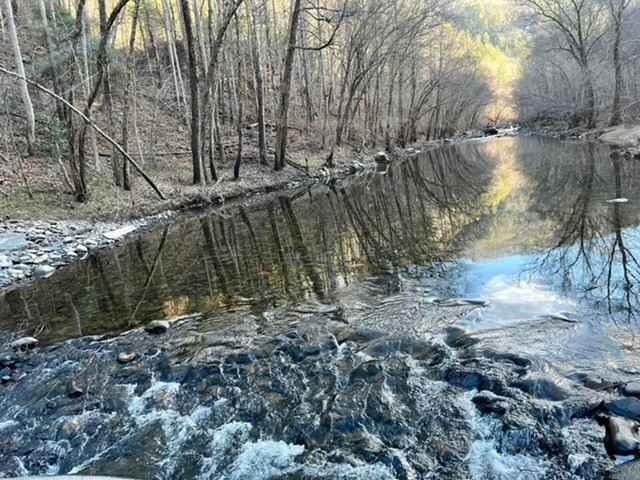
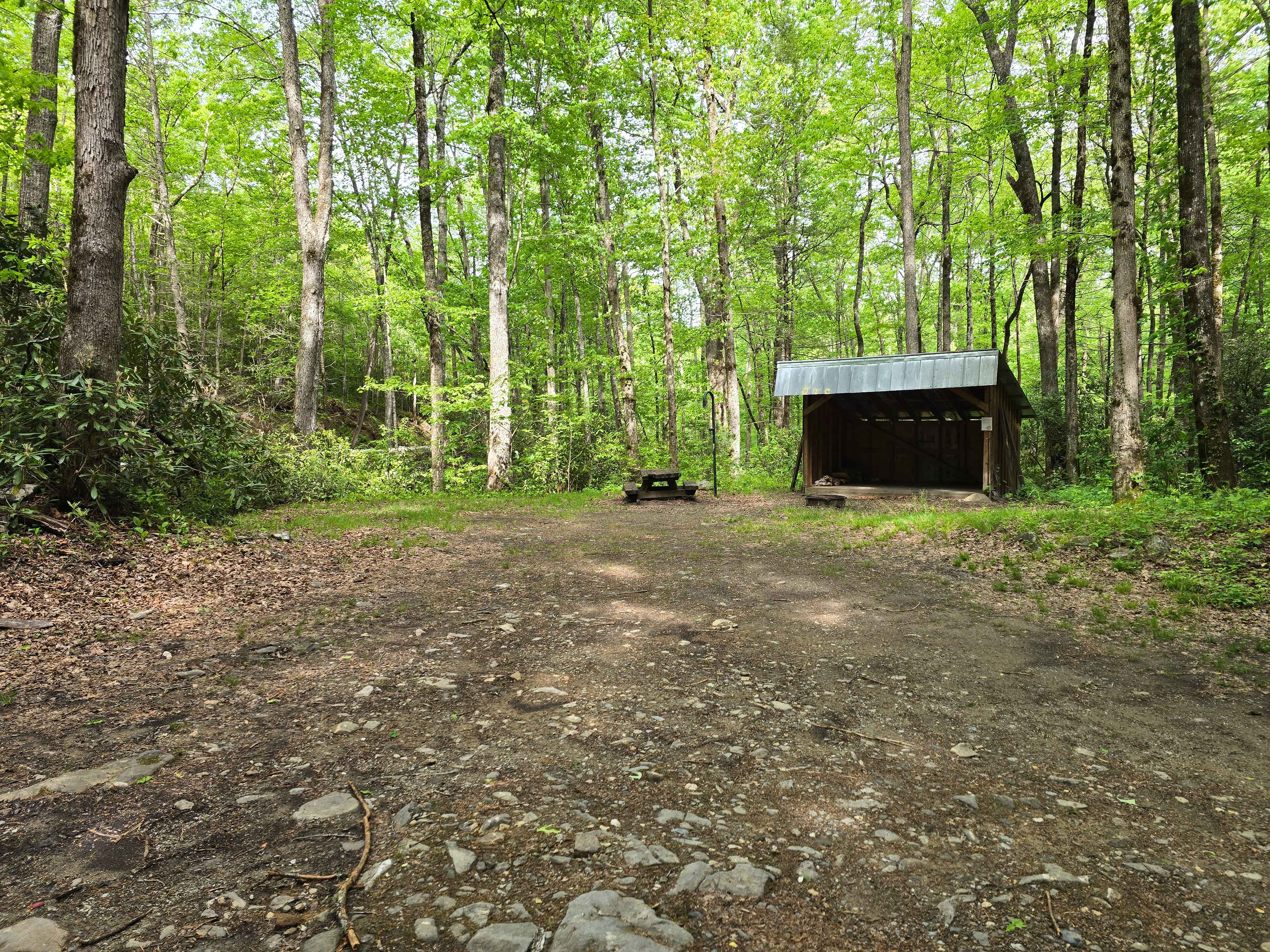
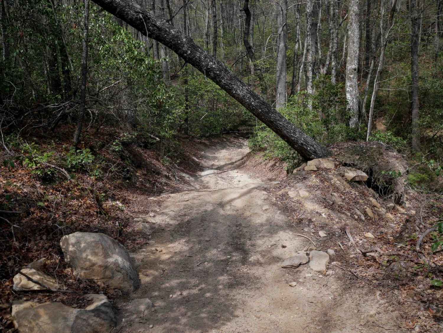
Brown Mountain Beech Road is a smaller section of a town road that goes through Pisgah National Forest and the North Carolina Wildlife Resource Commission. The road follows Wilson Creek and offers views of the river and evidence of damage caused by Hurricane Helene in 2024. This damage includes destroyed homes and buildings, stray rocks, and fallen trees. Although some trees have fallen along the road, all of them have been cleared and pushed off to the side. Along the road, there is a visitor center for Wilson Creek, many state park walking trails, and ample paths leading to the river for swimming, fishing, or other water activities. Several scenic bridges cross the road, most of which are single-lane and could cause traffic delays.
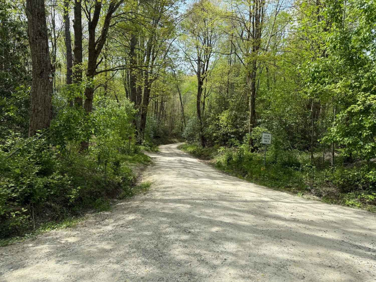
Photos of Brown Mountain Beech Road

Difficulty
The trail is a dirt road similar to other Forest Service roads, but as a town-maintained road, it is wider and smoother than most. While there is frequent oncoming traffic, the road is generally wide enough to allow for easy passing.
Status Reports
Brown Mountain Beech Road can be accessed by the following ride types:
- High-Clearance 4x4
- SUV
Brown Mountain Beech Road Map
Popular Trails
Hurricane Creek
Harper Creek Road - FS 58
Deep Creek Road
Trail 6 Miller Circle
The onX Offroad Difference
onX Offroad combines trail photos, descriptions, difficulty ratings, width restrictions, seasonality, and more in a user-friendly interface. Available on all devices, with offline access and full compatibility with CarPlay and Android Auto. Discover what you’re missing today!