West Rim Trail
Total Miles
3.3
Technical Rating
Best Time
Spring
Trail Type
Full-Width Road
Accessible By
Trail Overview
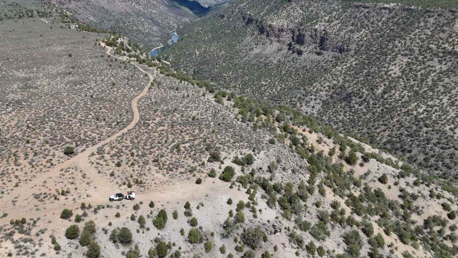
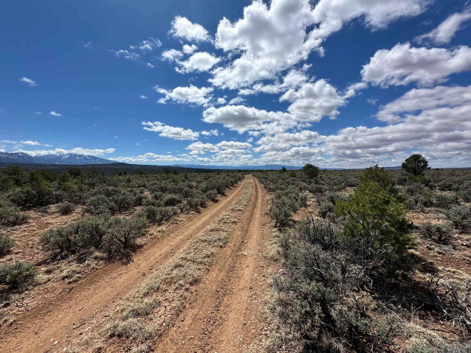
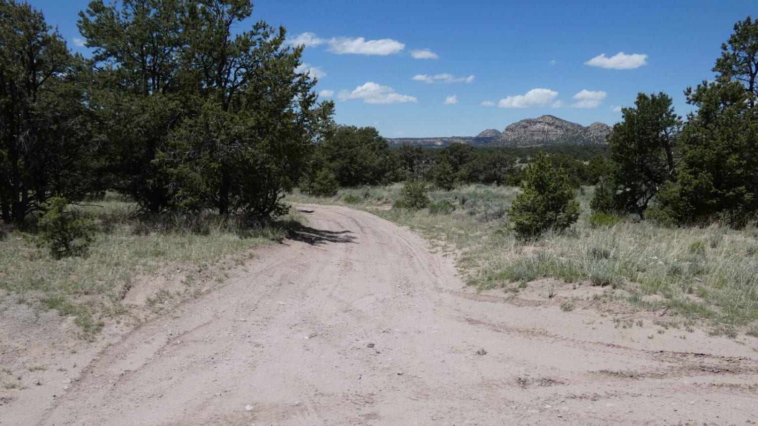
Difficulty: 2 (Easy) The West Rim trail offers 3.2 miles of scenic desert driving with spectacular canyon overlooks along the western edge of Rio Grande del Norte National Monument. Accessible from Taos Valley Road, this BLM route typically requires 45 minutes to complete, making it perfect for those seeking dramatic views without technical challenges. The trail features predominantly single-track driving with occasional pull-out spots for passing. Rocky sections and slight off-camber terrain reward careful line selection, though most obstacles can be navigated without engaging 4WD. Several bypass options exist where the original path has washed out, typically utilizing wider spots to avoid damaged sections. Multiple established camping spots dot the route, with several turnoffs leading to breathtaking canyon overlooks 800 feet above the Rio Grande. These viewpoints provide stunning perspectives of the river gorge below, though campers should prepare for consistently windy conditions. The trail's northern progression offers the most dramatic overlooks - generally following the "right" fork when options present themselves, which keeps drivers closest to the canyon edge. Navigation requires attention at several key intersections where consulting maps ensures correct routing. While the trail passes through some private property, no gates or access restrictions exist. Cell service remains available along most of the route. The trail works well as an out-and-back adventure or can connect to other West Rim double-track network sections for those with capable vehicles. Numerous ATV trails branch from the main route, offering additional exploration opportunities.Best experienced during dry conditions when trail visibility remains clear. Avoid during snow events as route-finding becomes significantly more challenging--no permits required for access or camping.
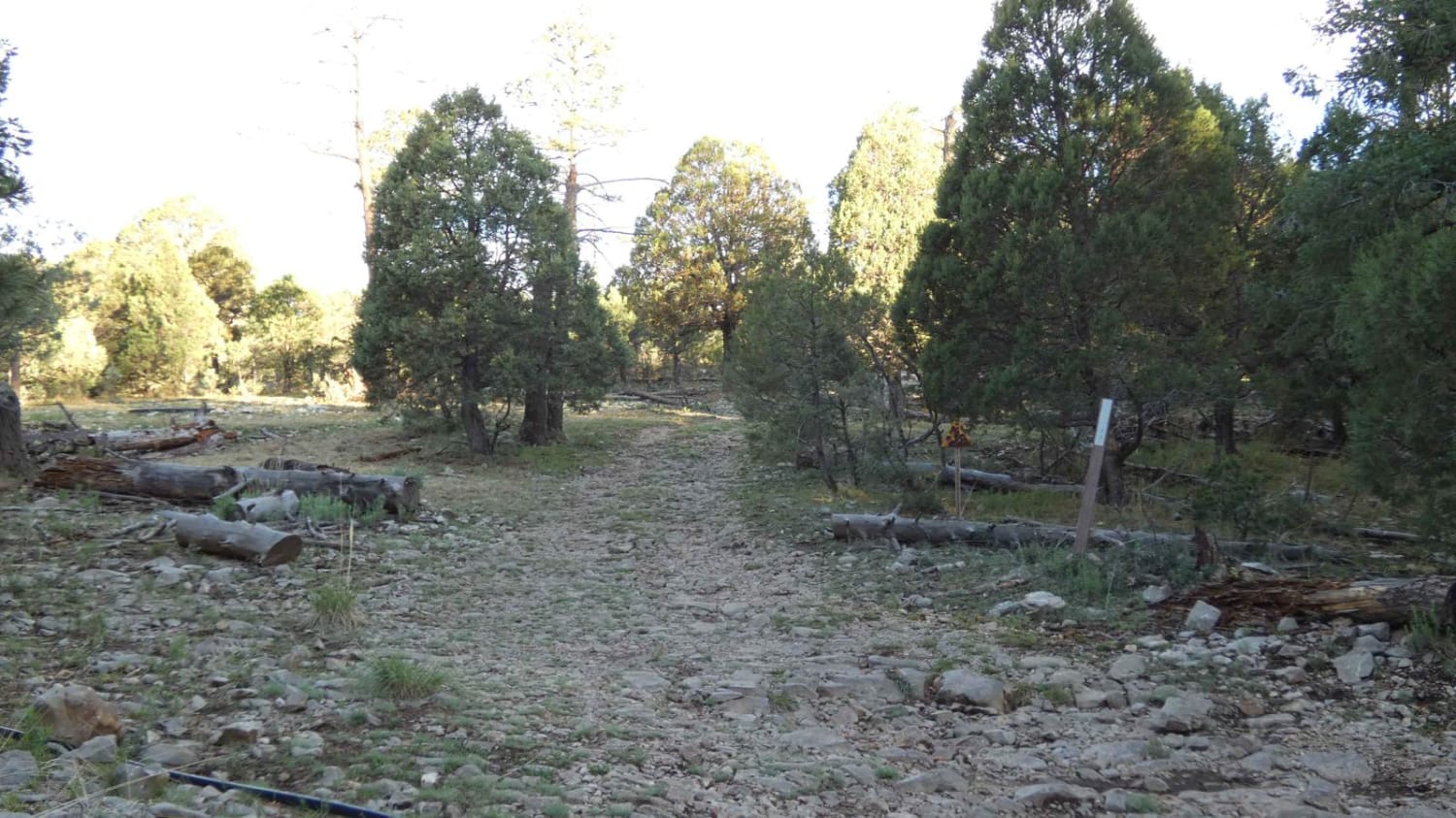
Photos of West Rim Trail
Difficulty
Most of the trail operates at level 1-2 conditions with dirt roads and gentle grades suitable for high-clearance vehicles. Rocky sections and slight off-camber terrain occasionally present challenges that can be navigated with careful line selection, avoiding the need for 4WD engagement. The primary difficulty comes from navigation attention required at key intersections rather than technical driving obstacles, but there are a couple sections where you can make it more interesting over the rocks, should you choose to do so.
West Rim Trail can be accessed by the following ride types:
- High-Clearance 4x4
- SUV
- SxS (60")
- ATV (50")
- Dirt Bike
West Rim Trail Map
Popular Trails
Lone Mountain FS312
Willie White - FS 113

James Ridge
The onX Offroad Difference
onX Offroad combines trail photos, descriptions, difficulty ratings, width restrictions, seasonality, and more in a user-friendly interface. Available on all devices, with offline access and full compatibility with CarPlay and Android Auto. Discover what you’re missing today!