Valle Toledo Road
Total Miles
3.5
Technical Rating
Best Time
Spring, Summer, Fall
Trail Type
Full-Width Road
Accessible By
Trail Overview
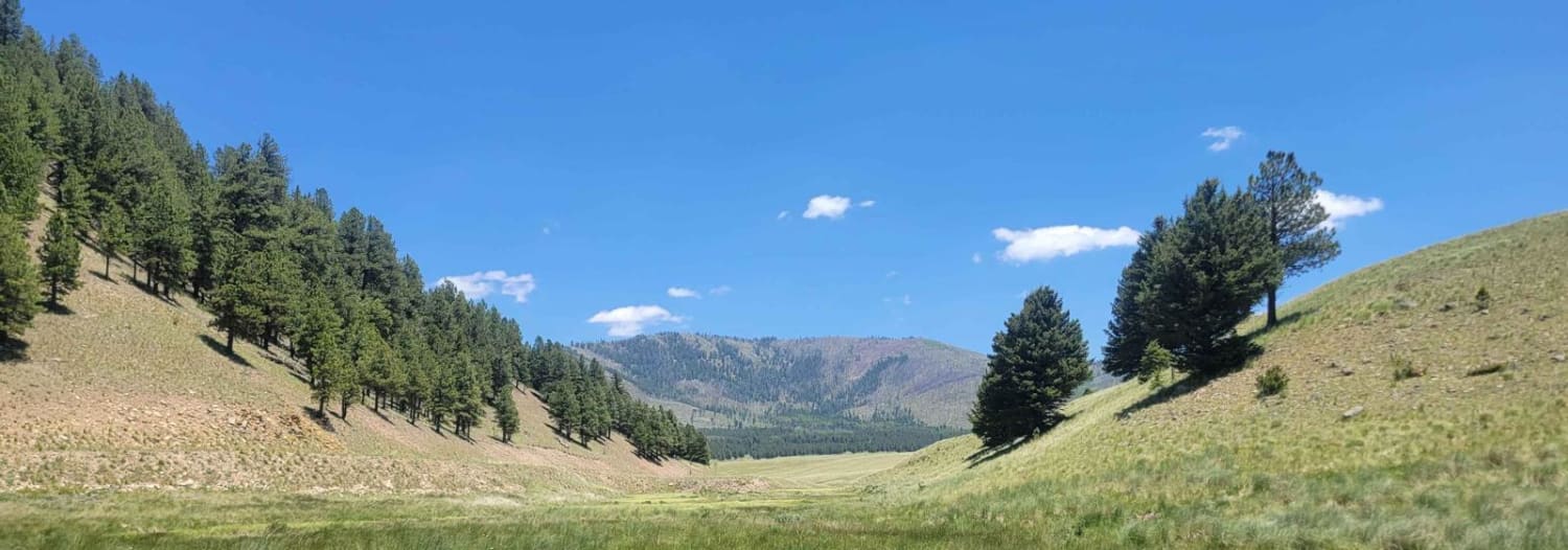
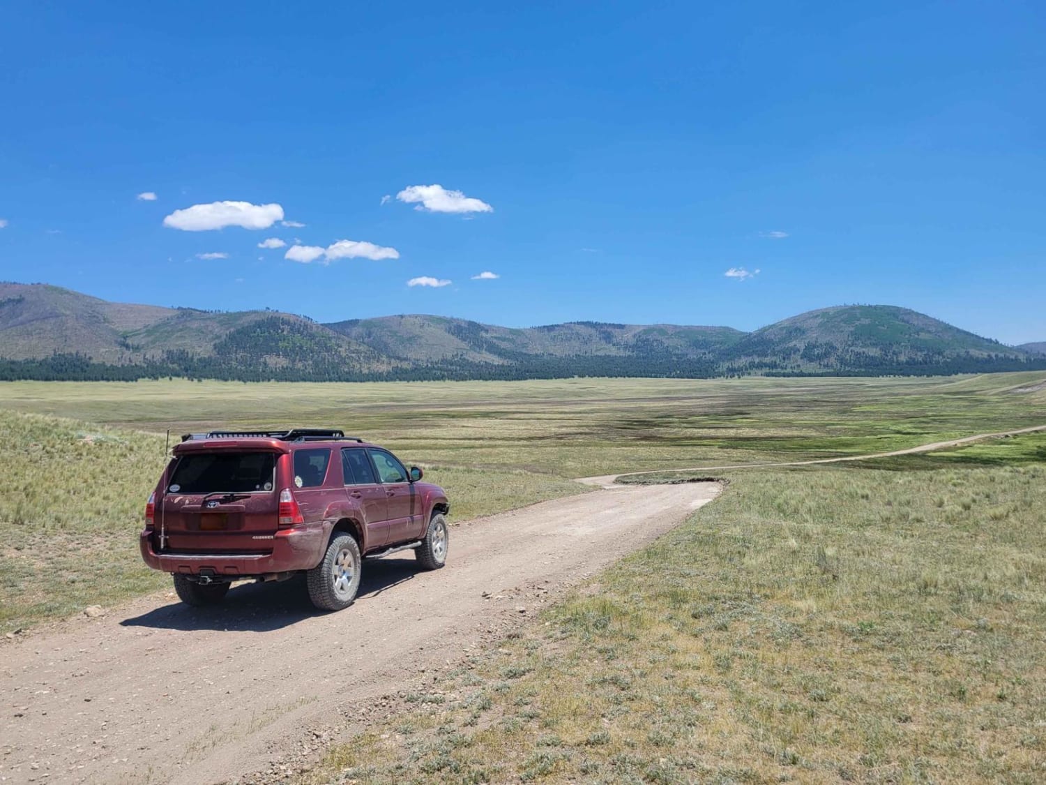
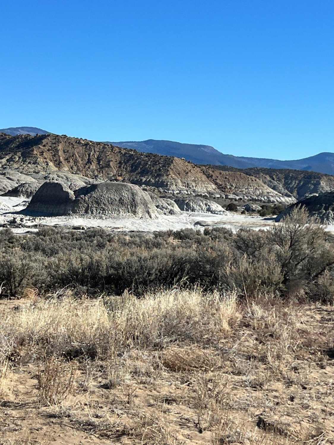
This scenic route drives through the eastern edge of Valle San Antonio, before going through a ravine and opening into the wide open spaces of Valle Toledo. It is the primary access route for many of the backcountry hiking routes on the eastern side of Valles Caldera. Attractions in the area include many nice fishing spots, as well as long vistas of Valles Caldera. Note that this road is only accessible via Valle Grande Edge route, which requires a backcountry access pass from the National Park Service.
Photos of Valle Toledo Road
Difficulty
Like most roads in Valles Caldera, this road is maintained by NPS. There is one spot where you cross a drainage ditch that has a few small rocks instead of a graded dirt road. This should still be accessible to most SUVs, just take it slow in less well equipped vehicles.
Status Reports
Valle Toledo Road can be accessed by the following ride types:
- High-Clearance 4x4
- SUV
Valle Toledo Road Map
Popular Trails

Grassy Lookout - FR138A
Mesa de Cuba
The onX Offroad Difference
onX Offroad combines trail photos, descriptions, difficulty ratings, width restrictions, seasonality, and more in a user-friendly interface. Available on all devices, with offline access and full compatibility with CarPlay and Android Auto. Discover what you’re missing today!
