South Pipeline Road
Total Miles
7.3
Technical Rating
Best Time
Summer, Spring, Fall, Winter
Trail Type
Full-Width Road
Accessible By
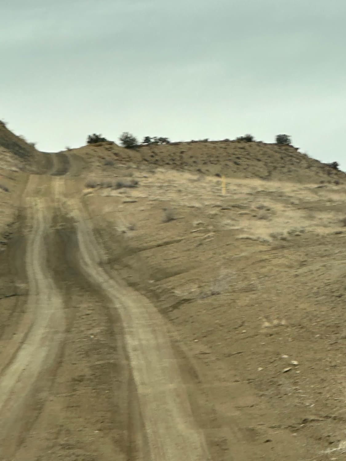
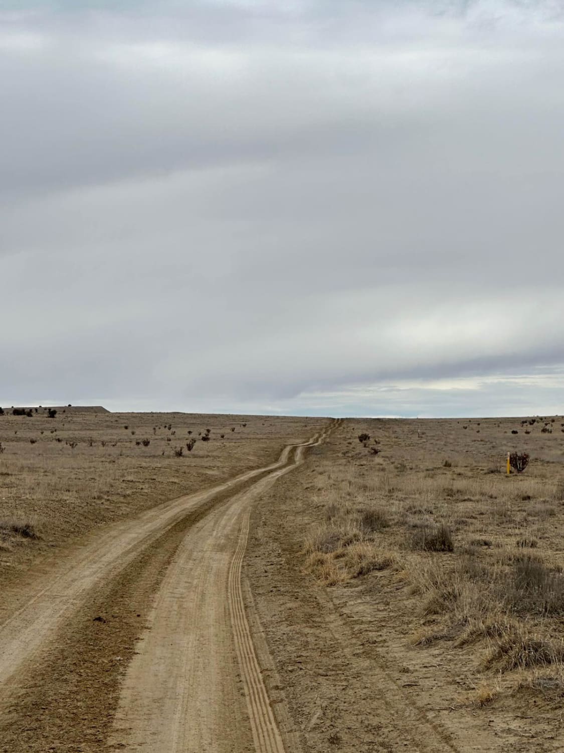
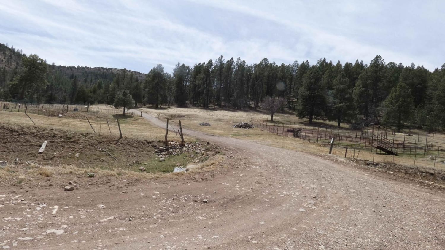
Trail Overview
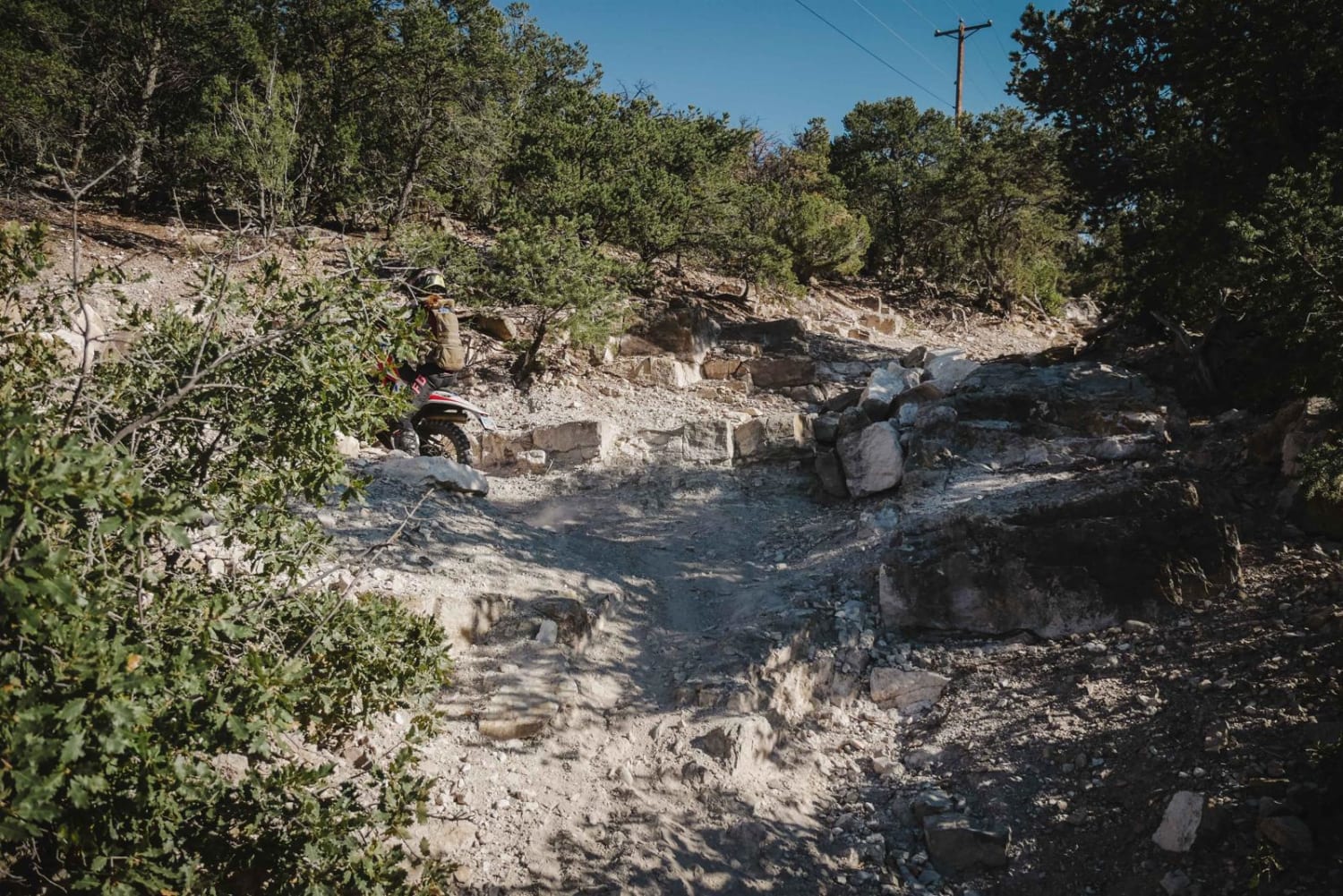
This route follows the pipeline easement along the Ojito Wilderness to the east and through Zia Pueblo land. It connects Cabezon Road with Backway to Cabezon Peak or the North Pipeline Road. The route has some bumps, dips, and ruts and can be slick with the slightest bit of moisture.
Photos of South Pipeline Road
Difficulty
The ruts can be difficult to navigate when wet.
History
This route follows a wagon trail.
Status Reports
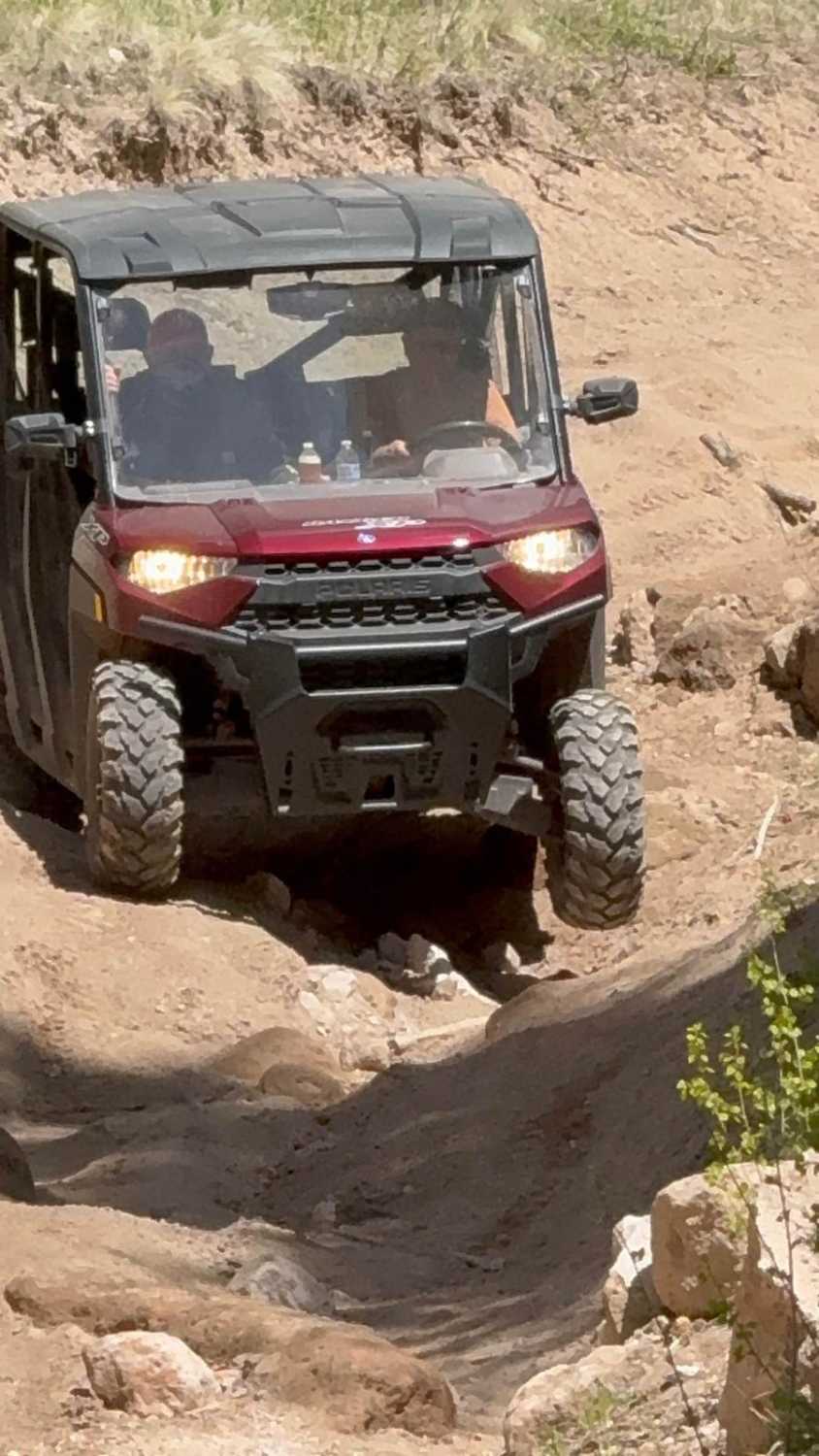
South Pipeline Road can be accessed by the following ride types:
- High-Clearance 4x4
- SUV
- SxS (60")
- ATV (50")
- Dirt Bike
South Pipeline Road Map
Popular Trails

Beaver Falls
Jim Lewis Canyon
Moon Canyon - FR 117
The onX Offroad Difference
onX Offroad combines trail photos, descriptions, difficulty ratings, width restrictions, seasonality, and more in a user-friendly interface. Available on all devices, with offline access and full compatibility with CarPlay and Android Auto. Discover what you’re missing today!