Sierra Negra Canyon
Total Miles
7.8
Technical Rating
Best Time
Spring, Summer, Fall, Winter
Trail Type
Full-Width Road
Accessible By
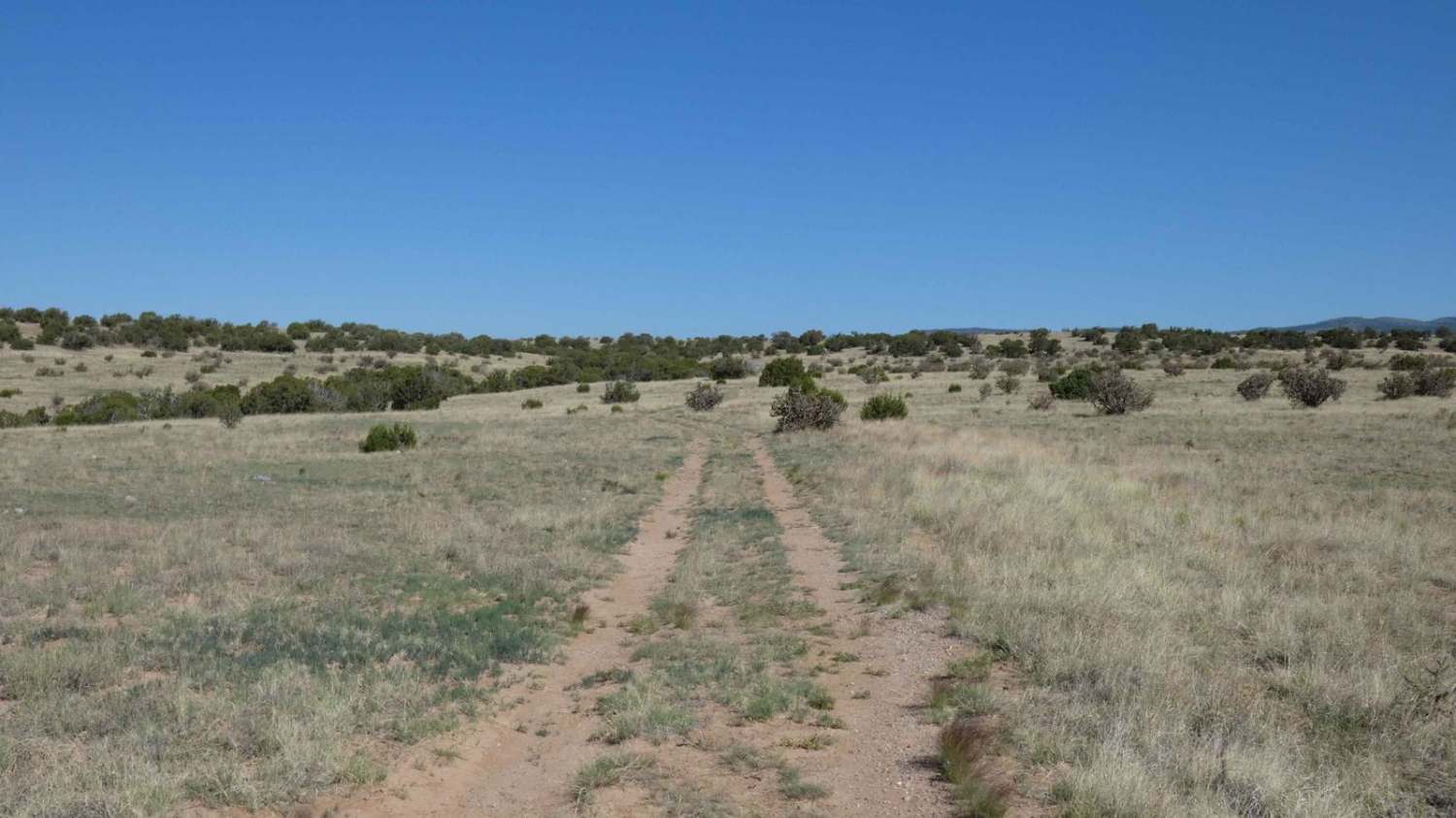
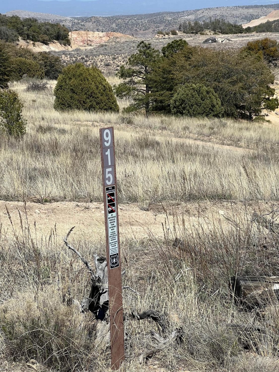
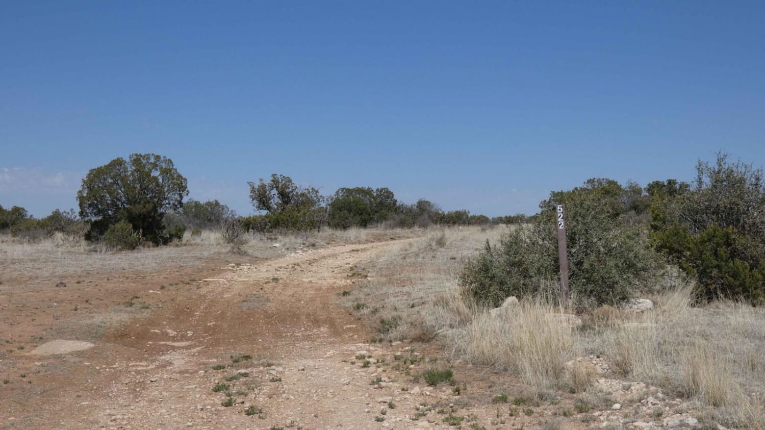
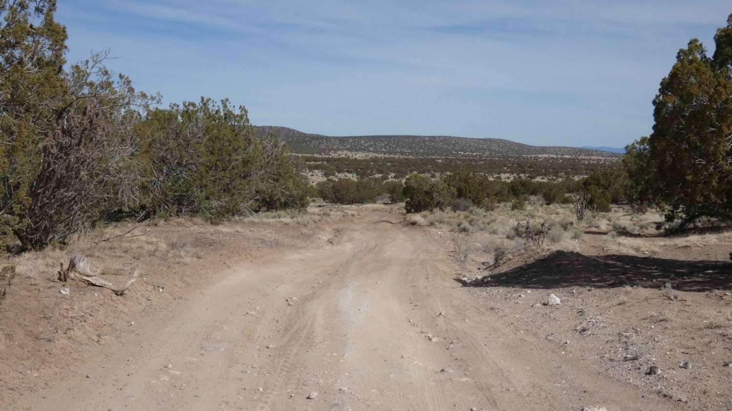
Trail Overview
Sierra Negra Canyon is a point-to-point trail that connects from FS-23/FS137 Abiquiu to El Rito down to SR-554, which can be run from either direction. For a more challenging experience, it is suggested to begin at the southern entrance located off of SR-554 and follow the arid desert road to the north. The trail has several obstacles within the first few miles when starting from the south, some of which exceed 24 inches in size. There are 3 deeper washes that are surrounded by thick brush that cannot be bypassed and will require a moderately modified 4x4 to traverse. The first is roughly 18 inches in depth once over its loose, rocky crest, and it is quickly followed by the second wash that is roughly 36 inches from the lowest section to the top of its crest. The first wash is gradual and forgiving, with some larger loose rocks lining the crest before the drop; the second wash is short, steep, and narrow, and slightly off-camber, with some loose rocks. Traversing the second wash will be difficult for longer wheelbase vehicles due to its short drop-in and immediate climb over its crest on the opposite side. The third is forgiving and just under 18 inches in depth, but is off-camber with some signs of erosion at the low side. Once past these first obstacles, the trail is a single vehicle wide two-track over a dirt and rock surface surrounded by grass, cactus, and other desert foliage. As the trail continues north, the views open up to the surrounding area, giving unobstructed views of all the surrounding mountains and valleys. At the 3.5-mile and 4-mile marks from the south, there are 2 steeper grade climbs over loose rocky surfaces. The first ascent is approximately an 18 percent grade over loose rocks with a short dirt and sand section that is off-camber at the midway point of the climb before it quickly turns to a rocky surface again. The second ascent is slightly more forgiving at a 16 to 17 percent grade over a longer run distance, with rocks being more settled in place. Once these climbs are completed, the remaining portion of the trail is primarily dirt with some loose rocks, but no major obstacles after. The views of the surrounding areas once on the mesa are completely unobstructed and allow for a full view of the Sierra Negra peak and the entire surrounding mountain ranges. Cell service is moderate throughout the track, with the low-lying areas having weak and spotty service. Dispersed camping is permitted with the exception of the first tenth of a mile at the southern entrance.
Photos of Sierra Negra Canyon

Difficulty
There are a couple of washes that are a drop in and climb out in a short section and are around 36 inches from the bottom of the wash to its crest. Trail and washes have some larger loose rocks up to 14 inches in size, soft sand and steep grade climbs over loose rocky surfaces. There are also some areas with significant rutting and off-camber sections over loose surfaces and rocks.
Status Reports
Sierra Negra Canyon can be accessed by the following ride types:
- High-Clearance 4x4
- SUV
- SxS (60")
- ATV (50")
- Dirt Bike
Sierra Negra Canyon Map
Popular Trails
FS 915 Boundary Bowl

Burny Cole Point - FR 99
Ortiz Mountain Pass
The onX Offroad Difference
onX Offroad combines trail photos, descriptions, difficulty ratings, width restrictions, seasonality, and more in a user-friendly interface. Available on all devices, with offline access and full compatibility with CarPlay and Android Auto. Discover what you’re missing today!