Manzanares Mesa
Total Miles
8.3
Technical Rating
Best Time
Spring, Summer, Fall, Winter
Trail Type
Full-Width Road
Accessible By
Trail Overview
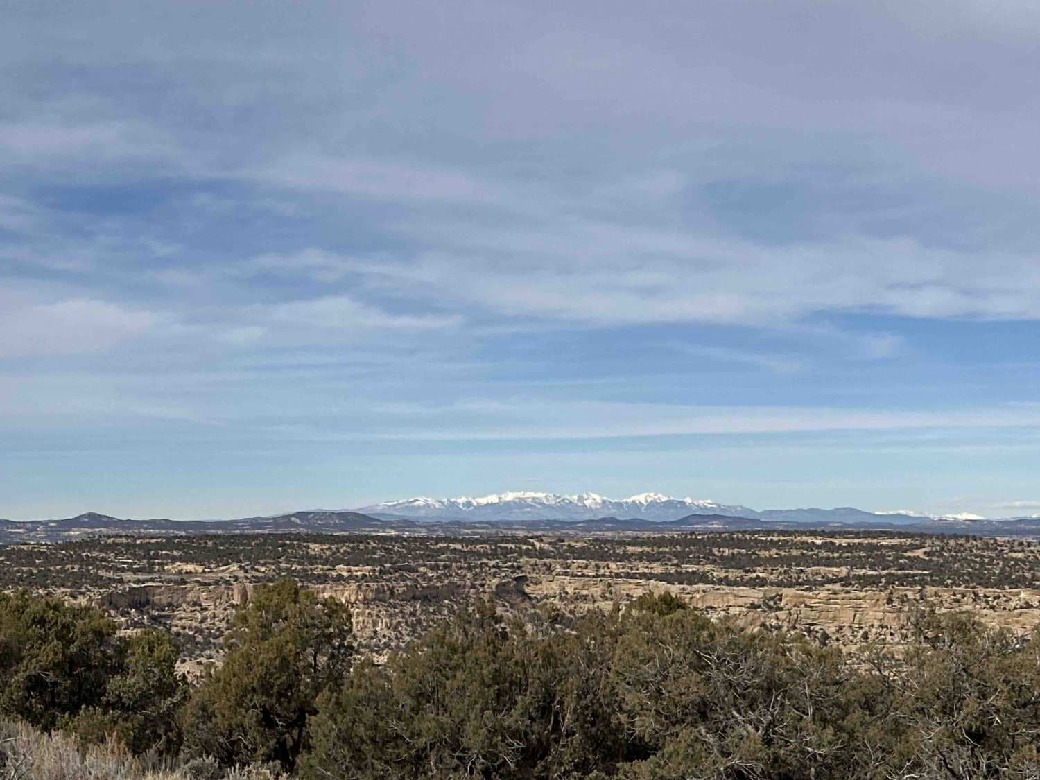
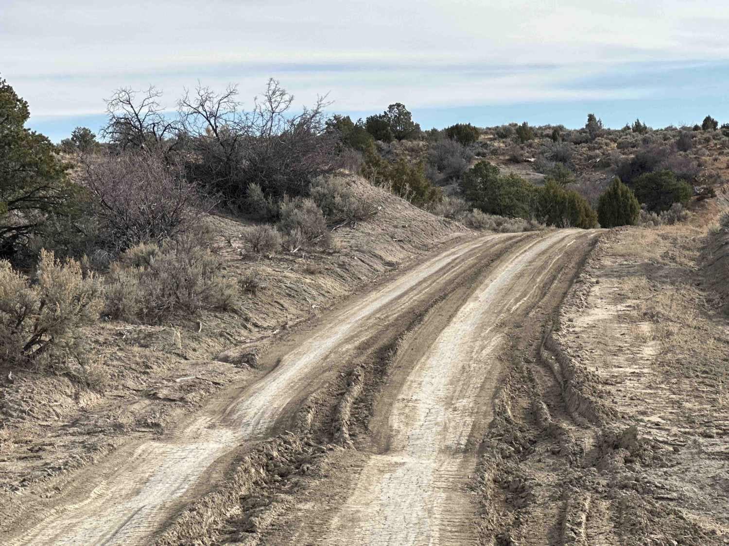
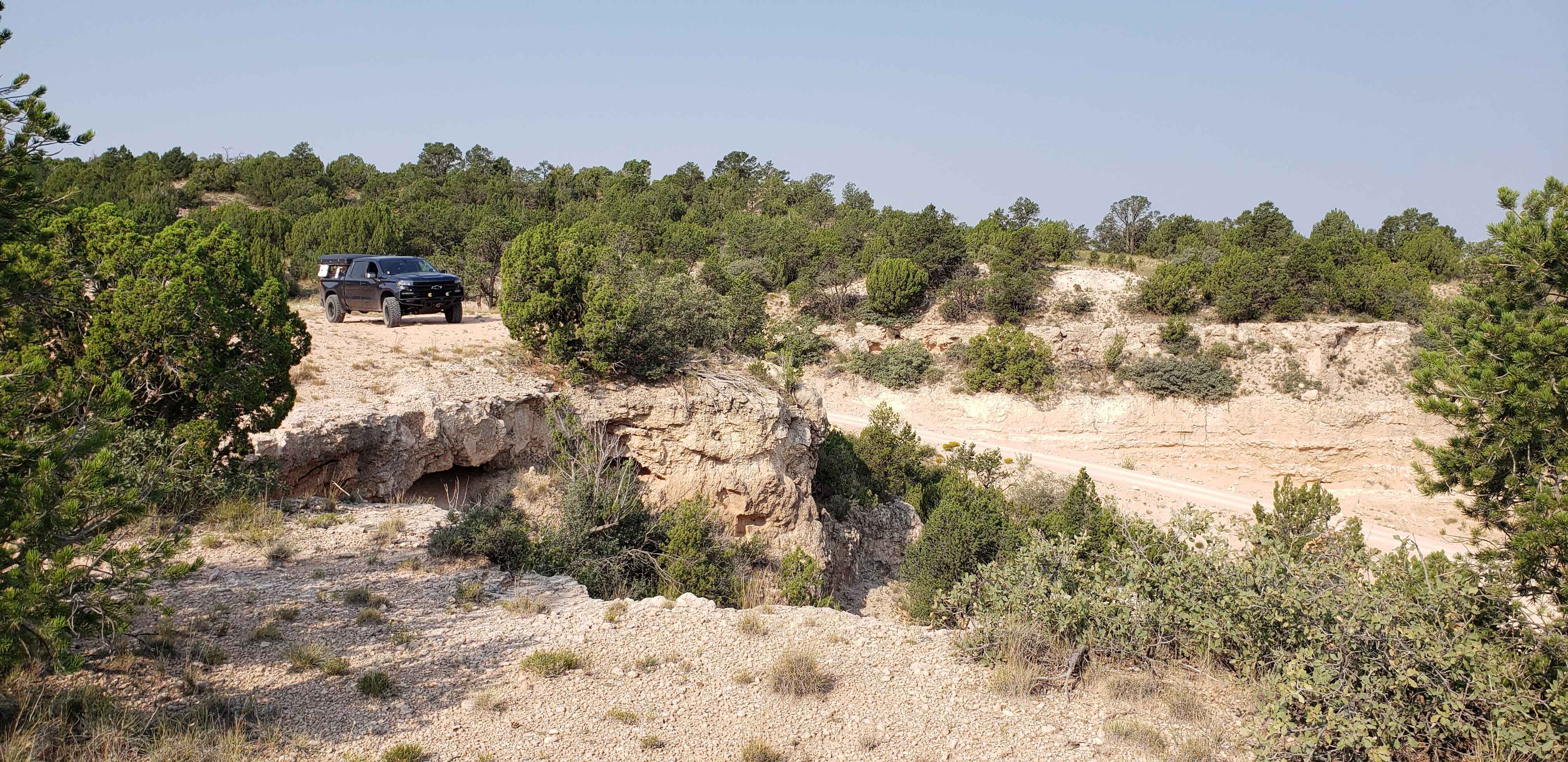
This easy trail utilizes oil roads just off of Highway 64 to loosely loop around the portion of Manzanares Mesa northwest of Cutter Reservoir before intersecting with the Cutter Reservoir Trail. Expect gorgeous vistas, heavy rutting, and the occasional washout across the road. Many small spurs off of the trail provide access to other parts of the mesa where a few fire rings can be seen but bear in mind adverse weather will greatly impact the difficulty of this trail.
Photos of Manzanares Mesa
Difficulty
Most of the trail is 1 to 1 1/2 vehicles wide, with some areas near Highway 63 that are two vehicles wide. Depending on how recent storms have impacted the area, there can be fairly deep ruts which can be avoided with appropriate route selection. Some washouts have created narrow cuts across the road to depths of 6" to 8".
Status Reports
Manzanares Mesa can be accessed by the following ride types:
- High-Clearance 4x4
- SUV
- SxS (60")
- ATV (50")
- Dirt Bike
Manzanares Mesa Map
Popular Trails

Caprock Horseshoe

7 Waterfalls
The onX Offroad Difference
onX Offroad combines trail photos, descriptions, difficulty ratings, width restrictions, seasonality, and more in a user-friendly interface. Available on all devices, with offline access and full compatibility with CarPlay and Android Auto. Discover what you’re missing today!