FS 4083T
Total Miles
3.1
Technical Rating
Best Time
Spring, Summer, Fall
Trail Type
Full-Width Road
Accessible By
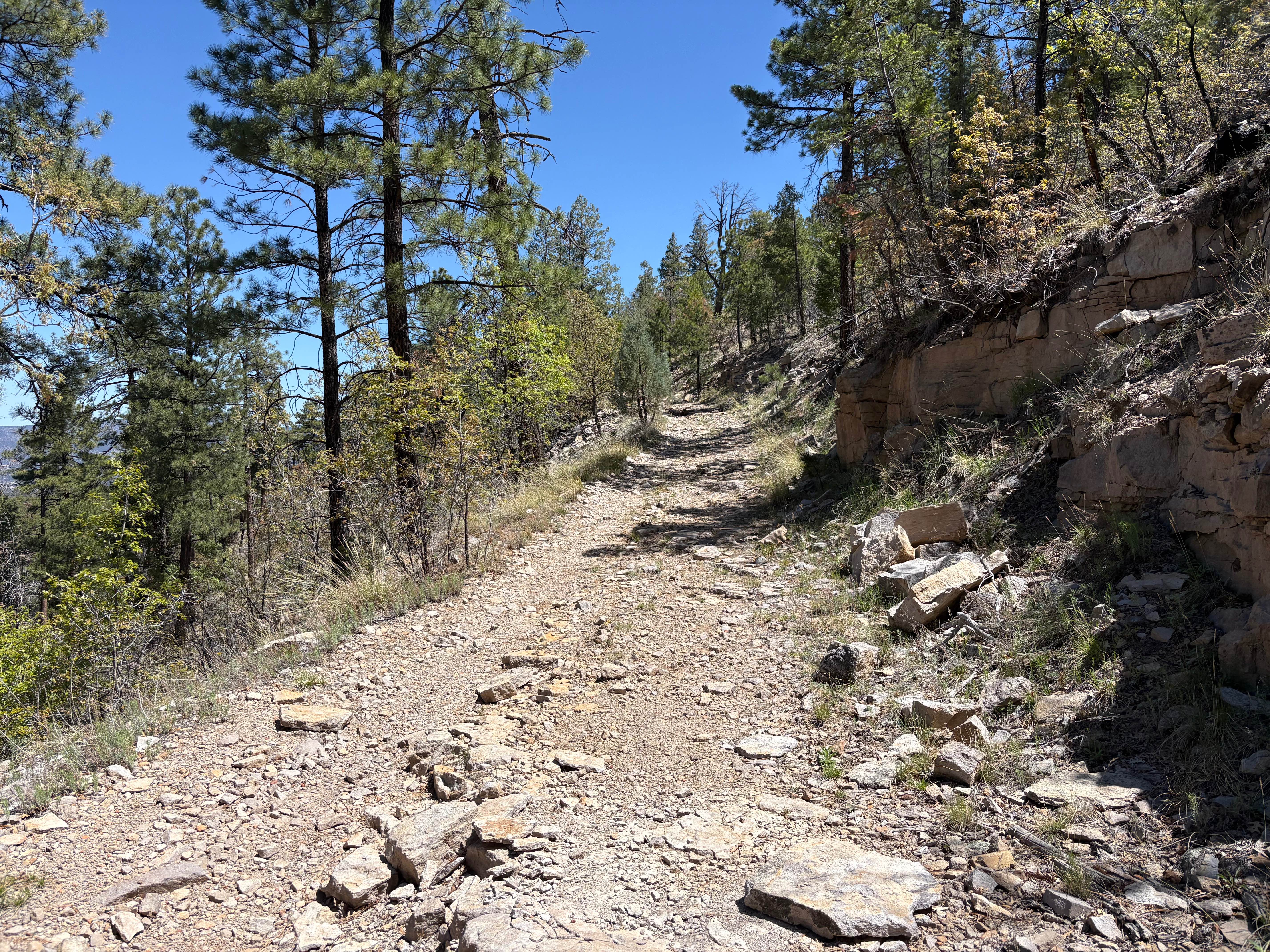
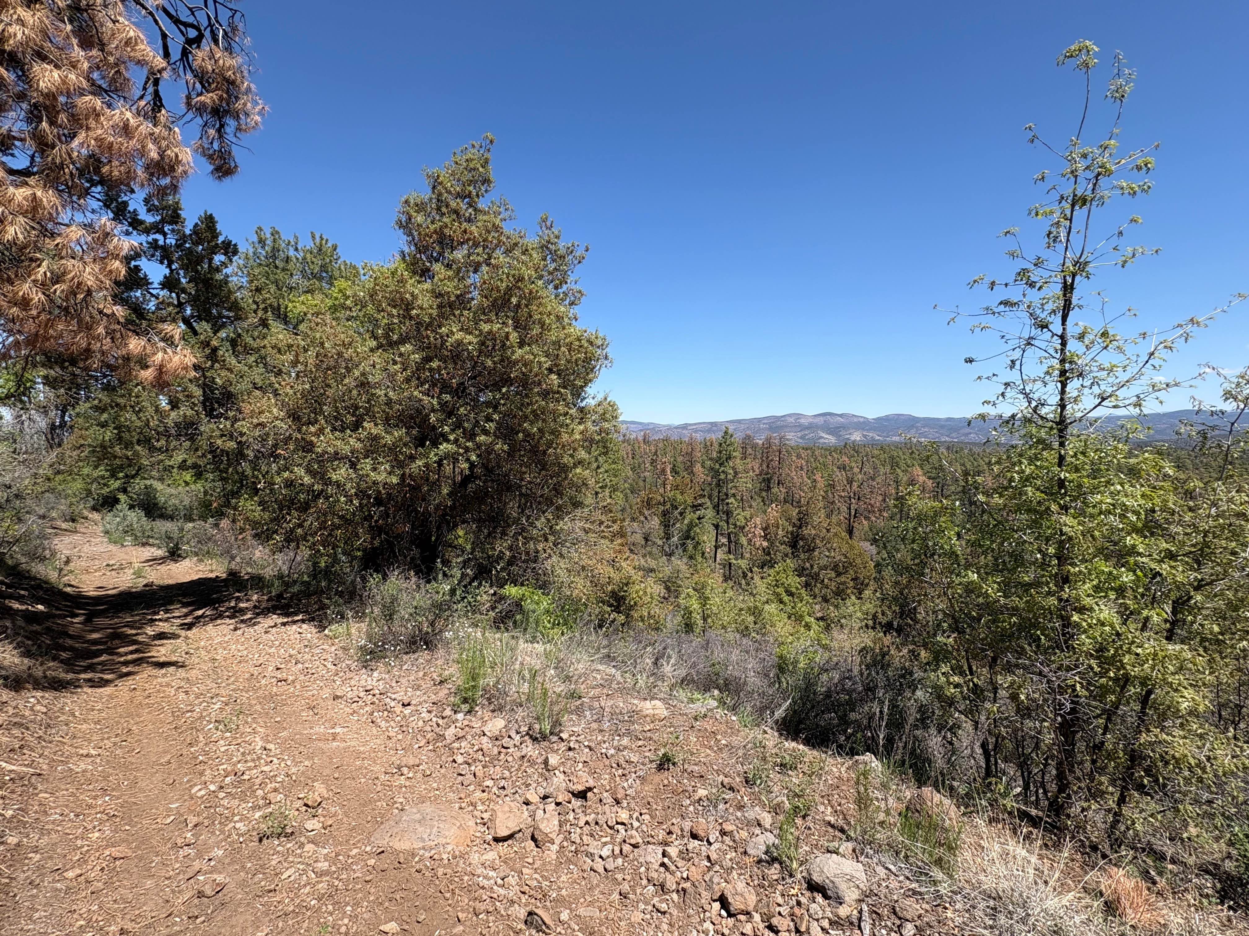
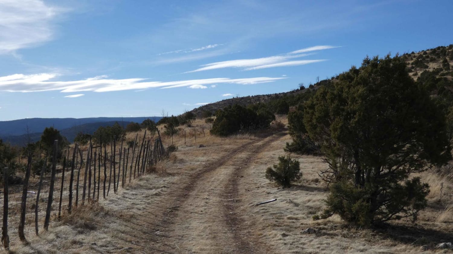
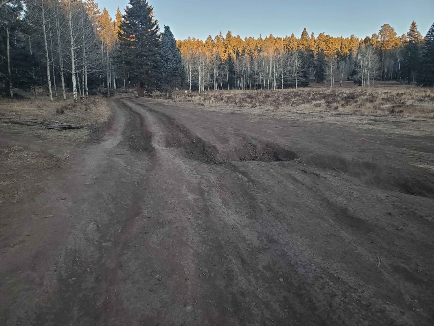
Trail Overview
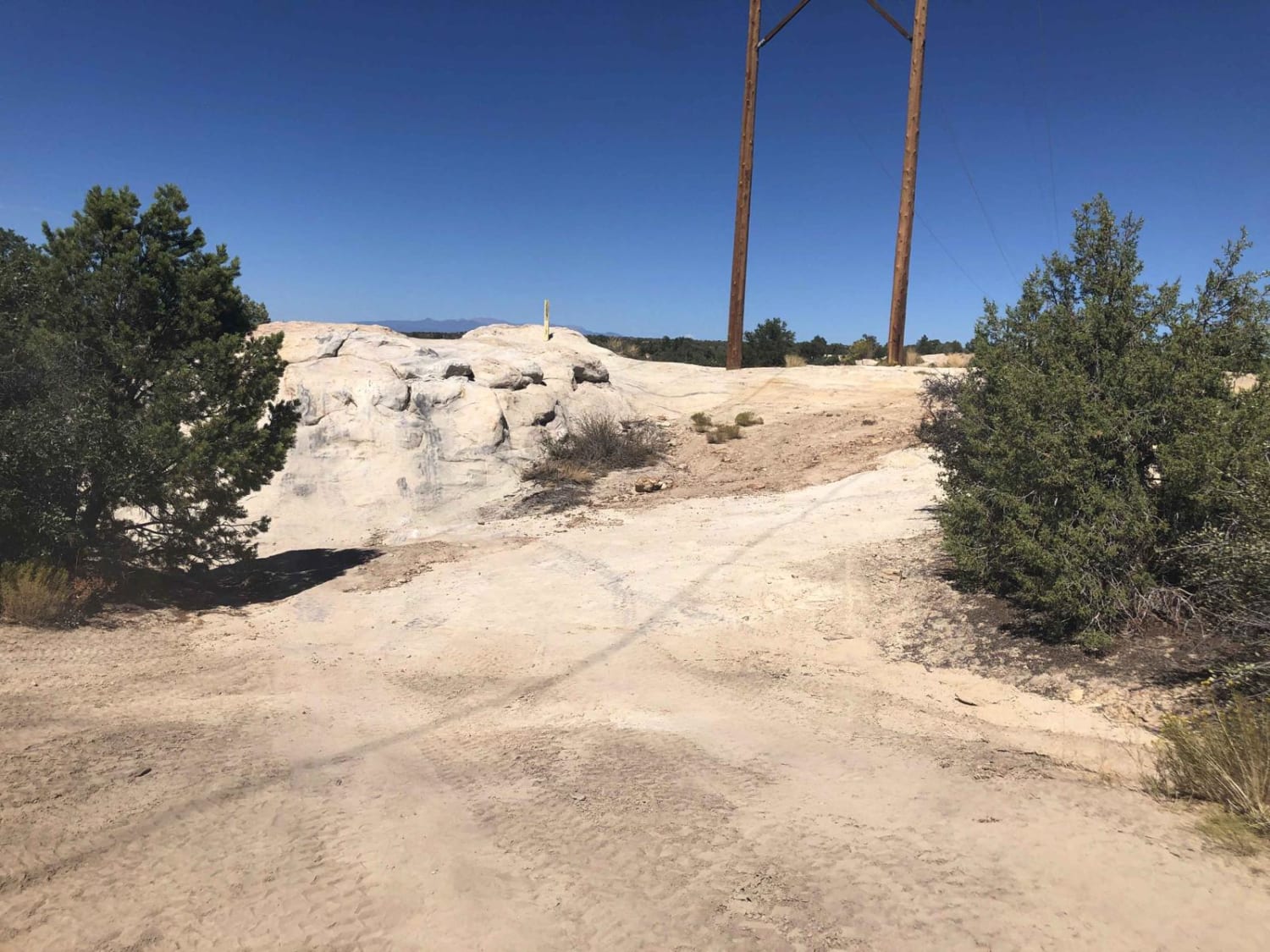
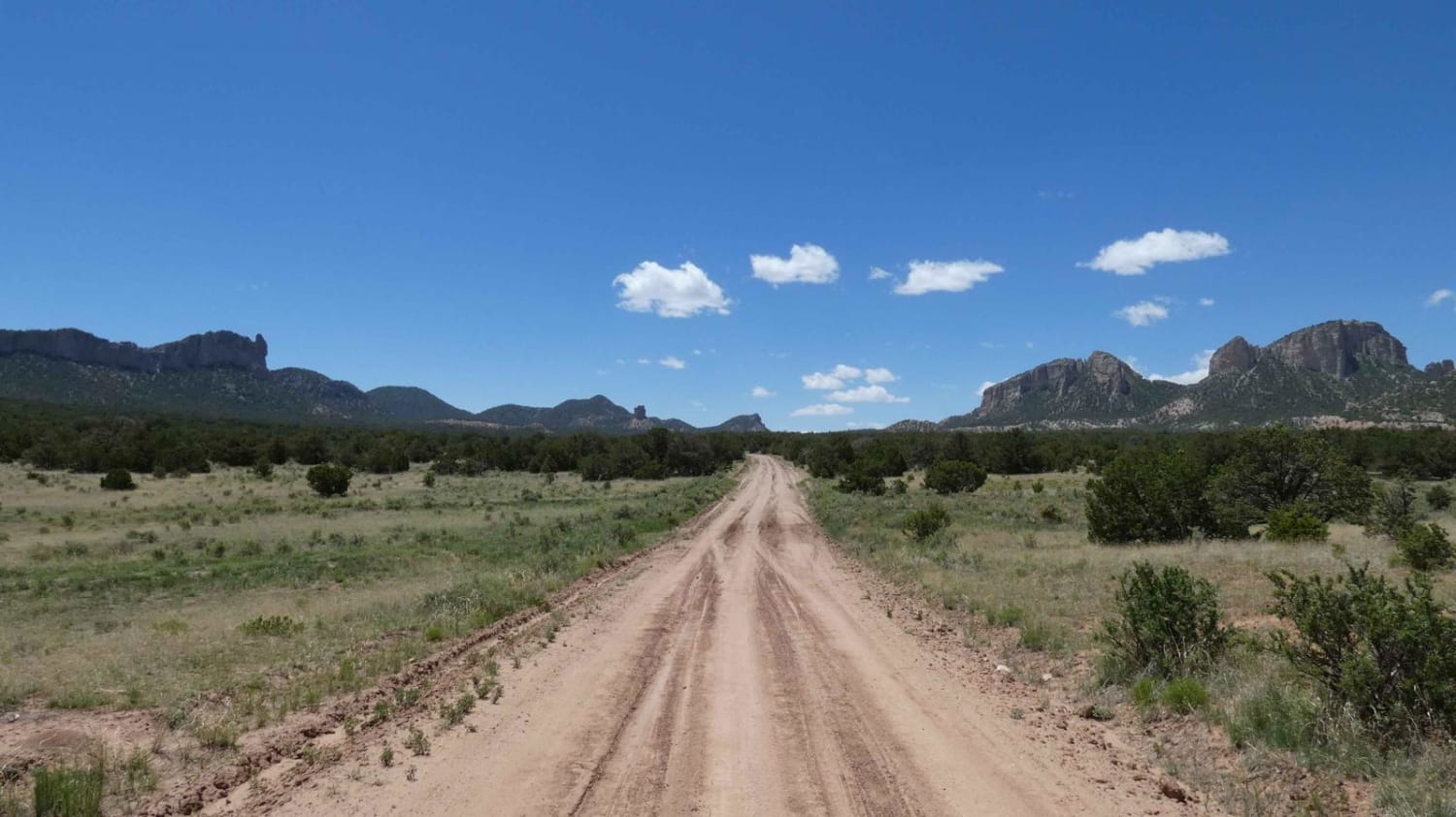
FS 4083T heads 3.1 miles north along a scenic ridge north from Sheep Corral Canyon Road towards the Gila Wilderness boundary. The trail begins with a shallow grade but transitions to a rocky, moderately off-camber descent with views of the wilderness off to the east. There are a few short, steep hills, the steepest of which has an alternate route around. The middle section is easy, with a hard-packed dirt surface. The last half mile is more difficult, with tight juniper trees and tightly-packed small to medium boulders. The trail dead-ends at a clearing without significant views. On the way back south to Sheep Corral Canyon Road, there are great views of Tadpole Ridge.
Photos of FS 4083T
Difficulty
The surface is rocky, but the grades are mild for the area. There is a way to get around the steepest hill.
Status Reports
FS 4083T can be accessed by the following ride types:
- High-Clearance 4x4
- SUV
- SxS (60")
- ATV (50")
- Dirt Bike
FS 4083T Map
Popular Trails
La Jara Canyon
Anasazi Refrigerator
Sawtooth FS6A
The onX Offroad Difference
onX Offroad combines trail photos, descriptions, difficulty ratings, width restrictions, seasonality, and more in a user-friendly interface. Available on all devices, with offline access and full compatibility with CarPlay and Android Auto. Discover what you’re missing today!