Cutter Dam
Total Miles
2.5
Technical Rating
Best Time
Spring, Summer, Fall, Winter
Trail Type
Full-Width Road
Accessible By
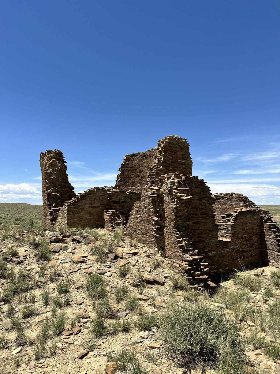
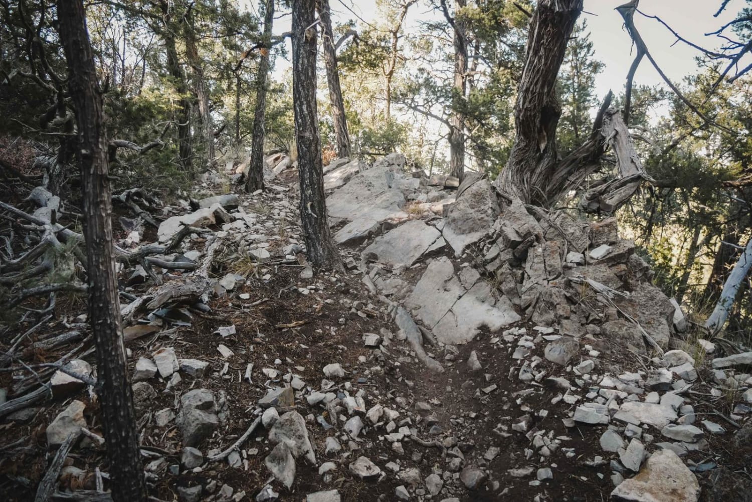
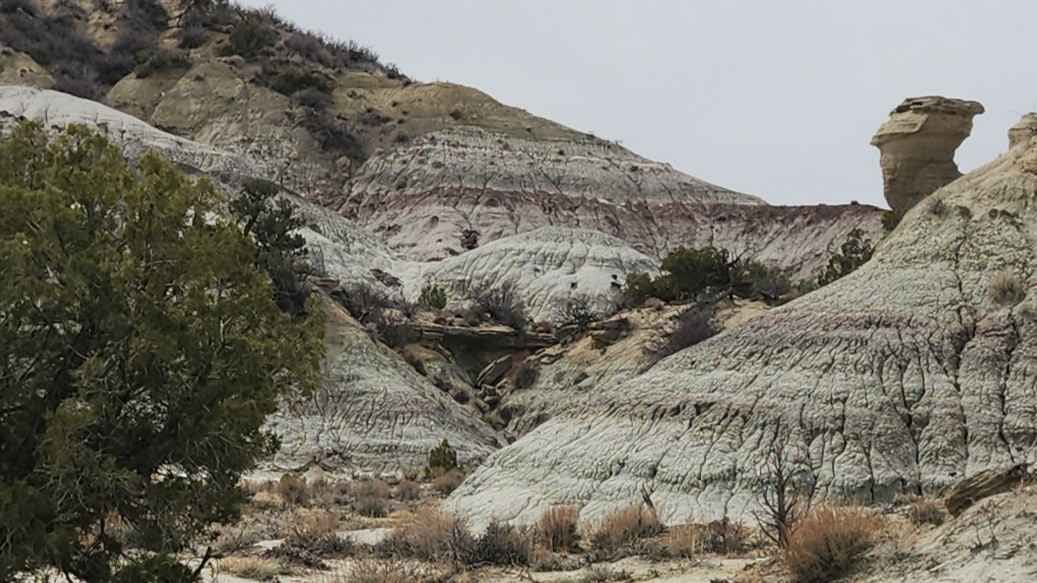
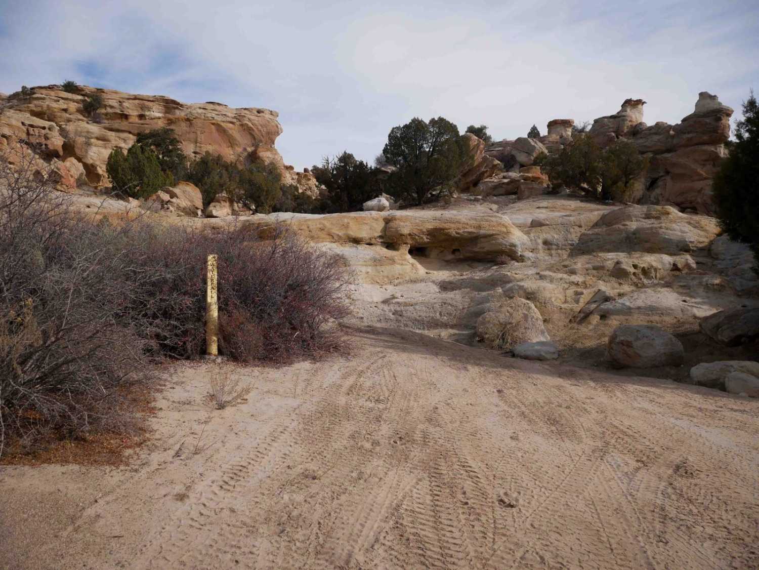
Trail Overview
The Cutter Dam Trail winds from Largo Canyon up through Cutter Canyon, leading to the Cutter Reservoir Dam and Picnic Area. Along the way, travelers will encounter deep ruts in some sections and stretches of fairly deep sand. As the trail nears the dam, the scenery becomes increasingly picturesque, with towering sandstone cliffs and intricate rock garden formations lining the canyon walls. The trail ends at a gate just before reaching the top of the dam. On either side, multiple primitive picnic and camping sites are available, some nestled snugly against vertical sandstone rock faces. However, be mindful of cow pies--though a cattle grate was installed to keep bovine visitors out of the picnic area, it has filled with sand, and it appears the cows enjoy this spot as much as people do. Cutter Reservoir, a 64-acre lake serving as a water source for the Navajo Agricultural Products Industry (NAPI), is stocked with rainbow, brown, and cutthroat trout. Bullhead catfish and Kokanee salmon are also present. To obtain a fishing license, contact the Navajo Nation Department of Fish and Wildlife at (928) 871-6451 or visit www.nndfw.org.
Photos of Cutter Dam


Difficulty
The majority of the trail is one vehicle width wide, and there are a few washouts with deep sand.
Status Reports
Cutter Dam can be accessed by the following ride types:
- High-Clearance 4x4
- SUV
- SxS (60")
- ATV (50")
- Dirt Bike
Cutter Dam Map
Popular Trails
Chaco Canyon to Kin Klizhin
Glade North - Middle trail
The onX Offroad Difference
onX Offroad combines trail photos, descriptions, difficulty ratings, width restrictions, seasonality, and more in a user-friendly interface. Available on all devices, with offline access and full compatibility with CarPlay and Android Auto. Discover what you’re missing today!