Barberro Mesa Drop
Total Miles
6.8
Technical Rating
Best Time
Spring, Summer, Fall, Winter
Trail Type
Full-Width Road
Accessible By
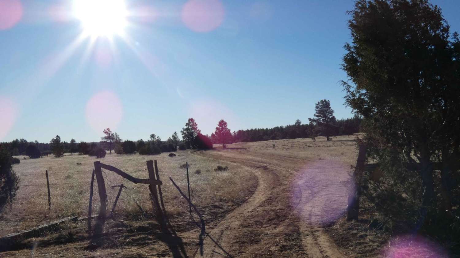
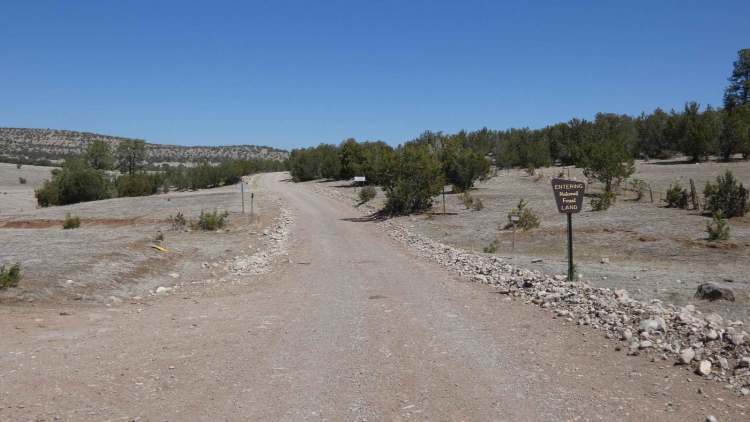
Trail Overview
Barberro Mesa Drop begins on an easy dirt surface two-track through the upper mesa area before it ascends slightly over a loose rocky surface crest. The first 4.5 miles is a wide-open two-track with some rutting up to 15 inches in depth but no above-grade obstacles in excess of 8 inches. As the trail progresses from here, there is a rocky low-grade ascent over a small crest, where the trail becomes a tighter single-vehicle-wide track. After making the crest, there is a very steep descent over a loose, rocky, and soft dirt surface with a section showing signs of being washed out that has resulted in an additional vertical crest midway down the descent. The crest is in excess of 30 inches and is almost a sheer drop on its back face as the descent continues on an almost 20% grade. In addition to its steep drop, it is also lightly off-camber to the passenger side, where the off-side is washed out; line choice should be carefully decided before making the descent. After completing the descent, there is a larger wash approximately 15 inches in depth with a sheer face drop-in and short vertical crest of dirt immediately after that is in excess of 36 inches in height from the bottom of the wash. High-centering on this last crest is almost inevitable and provides a unique challenge depending on vehicle wheelbase, tire size, and lift, but it is advised to be attempted by moderately to heavily modified 4X4s and 4WD vehicles only. Once this section is completed, the trail returns to its very mildly mannered dirt two-track with only some minor rutting and loose rocks as it continues on the open valley toward CR-34. Cell service drops off immediately after making the crest before the drop, and the trees in the area of the drop also hinder GMRS reception.
Photos of Barberro Mesa Drop

Difficulty
A majority of the trail is very easy with the exception of the drop found at 4.5 in when starting from where FSR-325KD and FSR-325KB intersect at the east end. With a descent grade of approximately 20% over loose rocks and soft dirt, the downhill section has a crest midway down that is over 20" in height with a sheer drop on its back side and a section of washout just before it. In addition, the passenger side is washed out with a slight off-camber favoring the passenger side. At the bottom of the descent, there is another washed section approximately 15 inches in depth with a sheer face drop-in and short vertical crest of dirt immediately after that is in excess of 36 inches in height from the bottom of the wash. Getting high-centered here is almost unavoidable, line choice and vehicle application should be considered before proceeding into the drop. The dirt is soft through here and the rocks are all loose, adding to the difficulty of the obstacle. Aside from the one major obstacle, there are no major obstacles and only minor rutting up to 15 inches in depth.
Status Reports
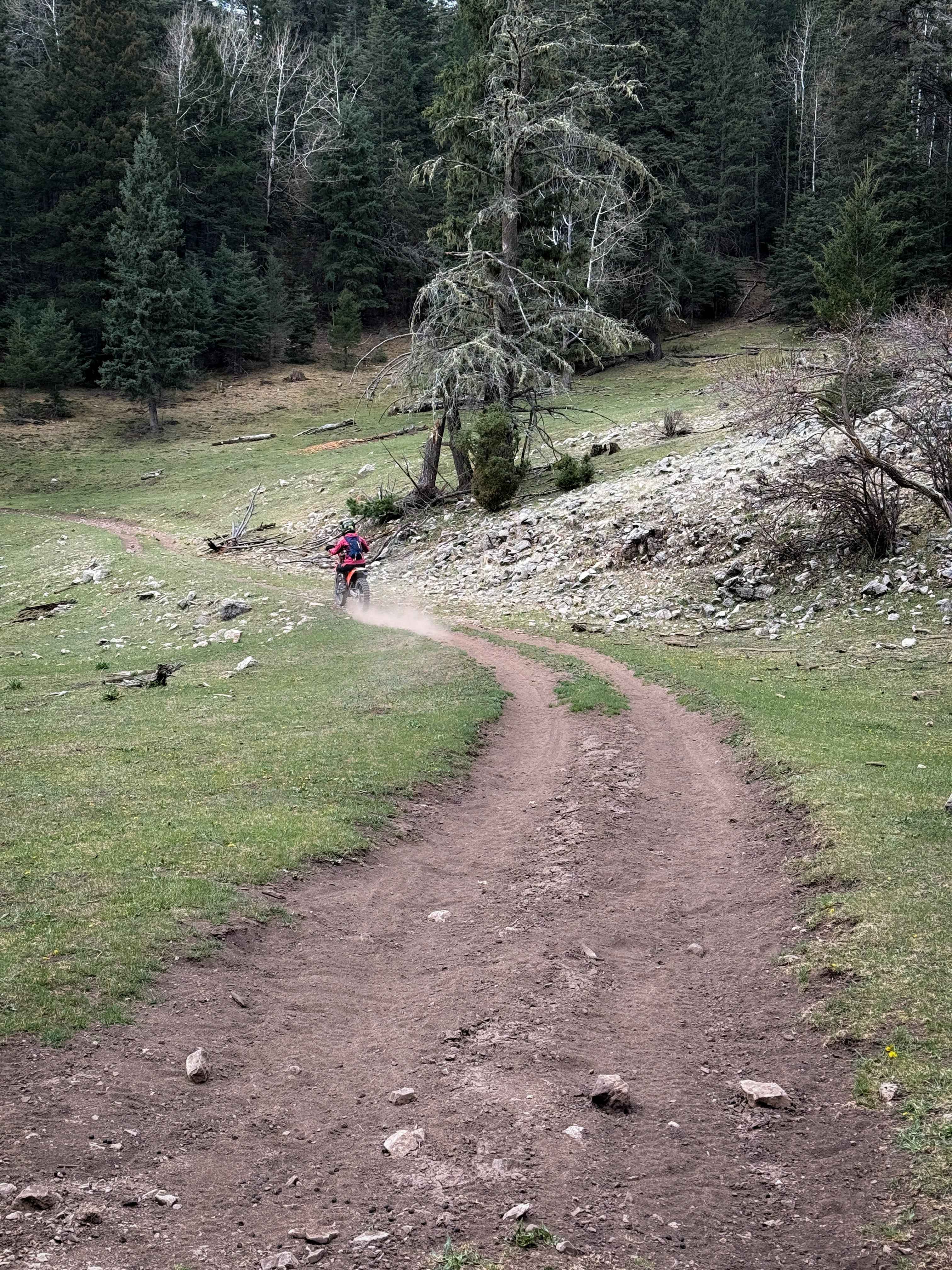
Barberro Mesa Drop can be accessed by the following ride types:
- High-Clearance 4x4
- SUV
- SxS (60")
- ATV (50")
- Dirt Bike
Barberro Mesa Drop Map
Popular Trails
Chimney Lake to Angel Canyon (FS176)
Adolfo Canyon Pueblito Spur
Benson Canyon Spur - FS 5005A

Burny Cole Point - FR 99
The onX Offroad Difference
onX Offroad combines trail photos, descriptions, difficulty ratings, width restrictions, seasonality, and more in a user-friendly interface. Available on all devices, with offline access and full compatibility with CarPlay and Android Auto. Discover what you’re missing today!