Pond Safety Road
Total Miles
5.1
Technical Rating
Best Time
Fall
Trail Type
Full-Width Road
Accessible By
Trail Overview
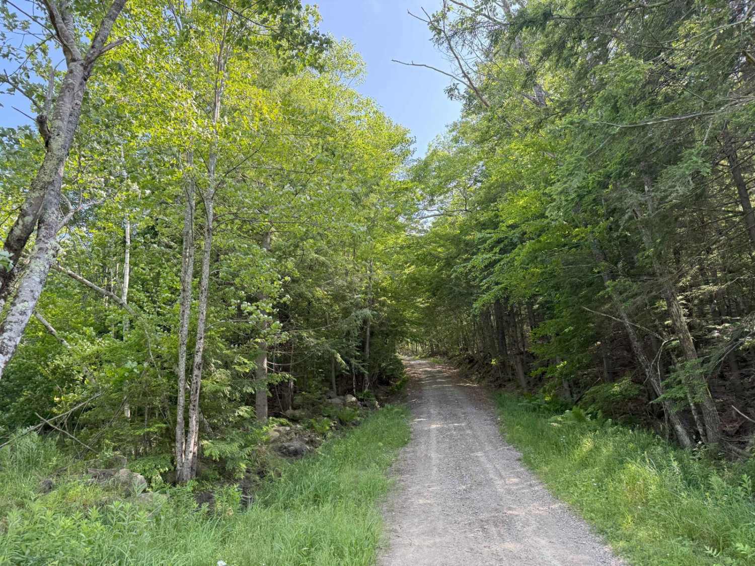
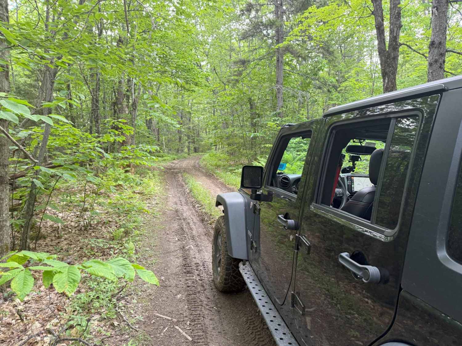
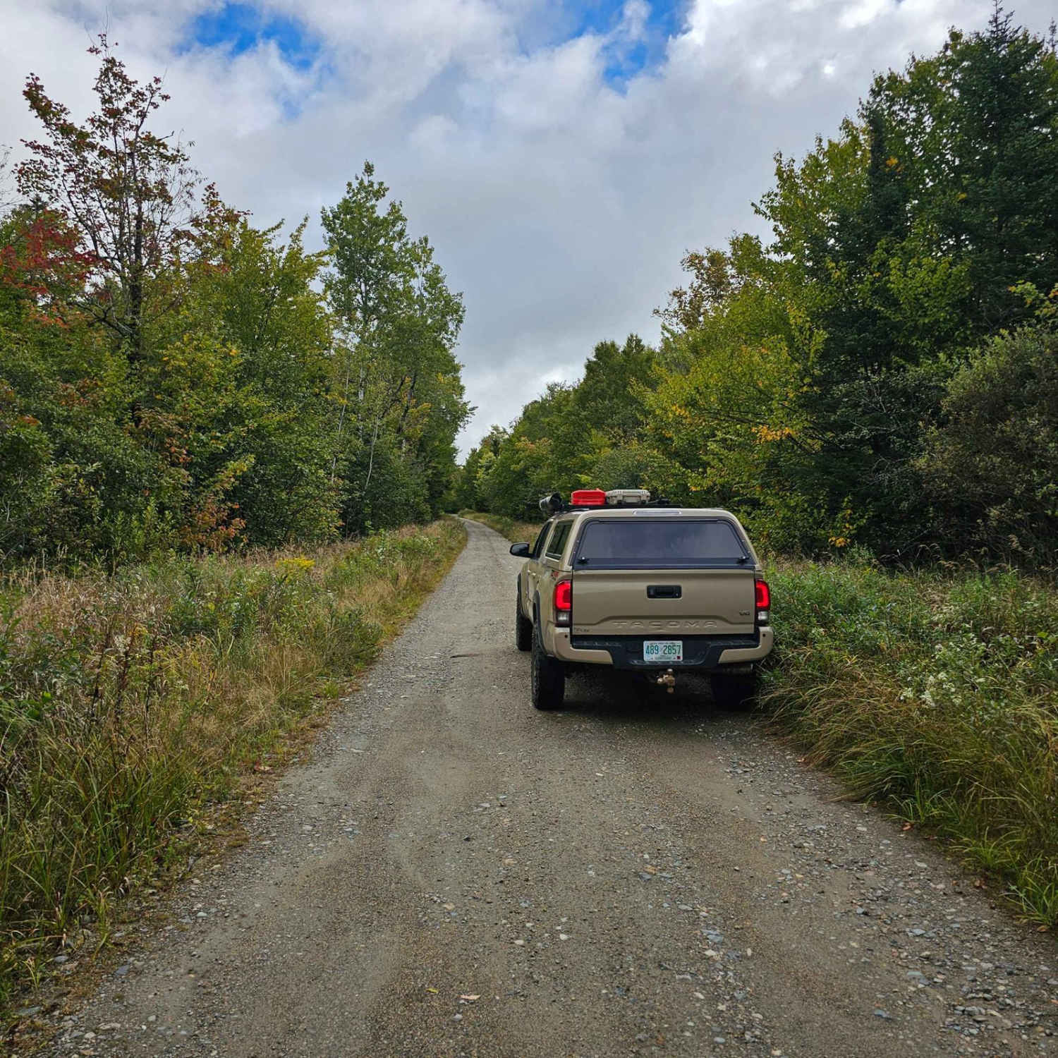
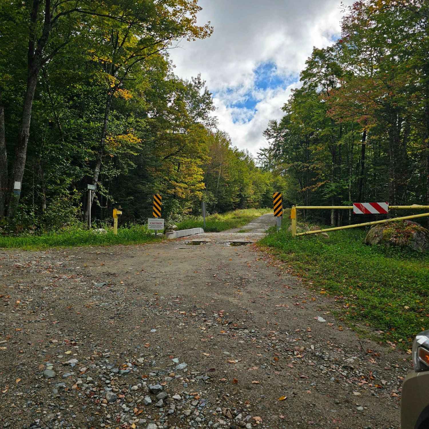
This trail starts by following Ingerson Road where you will pass by a few old farmhouses and horse pastures. From there you will turn off onto a not very well marked road which is Pond of Safety Road. Along Pond of Safety Road, you will climb up the mountain on a decently developed dirt road through the thick Randolph Town Forest. There are a few spots that look promising to have a side adventure but most are blocked or gated off. During hunting season you will find many hunters along this road looking for the vast wildlife this area brings. As you get close to the pond the trail will make a sharp left and get tighter. Once you get to the end of the road there is a small parking area where you can take a walk down to the water that only takes a few minutes. Paddling and fishing are allowed in this pond as long as you follow the regulations.
Photos of Pond Safety Road
Difficulty
This road can have washouts depending on how the weather has been recently. There are a few water bars cut into the slope that a vehicle without ground clearance would bottom out in.
History
The origin of the Pond of Safety place name dates back to the Revolutionary War, when four Continental Army soldiers captured by the British were paroled on the condition that they return to their families and not fight again, a common practice at the time. However, after returning to their homes, they feared that they would be arrested as deserters, so they fled into the wilderness, settling at the Pond of Safety until the end of the war when they were welcomed back into their communities.
Pond Safety Road can be accessed by the following ride types:
- High-Clearance 4x4
- SUV
Pond Safety Road Map
Popular Trails

Haystack Mountain Road

Caverly Road to Devil's Den Road

Wade Hill Road

White Wolf Trail
The onX Offroad Difference
onX Offroad combines trail photos, descriptions, difficulty ratings, width restrictions, seasonality, and more in a user-friendly interface. Available on all devices, with offline access and full compatibility with CarPlay and Android Auto. Discover what you’re missing today!

