Indian Stream Road to Terrill Pond
Total Miles
14.9
Technical Rating
Best Time
Spring, Summer, Fall
Trail Type
Full-Width Road
Accessible By
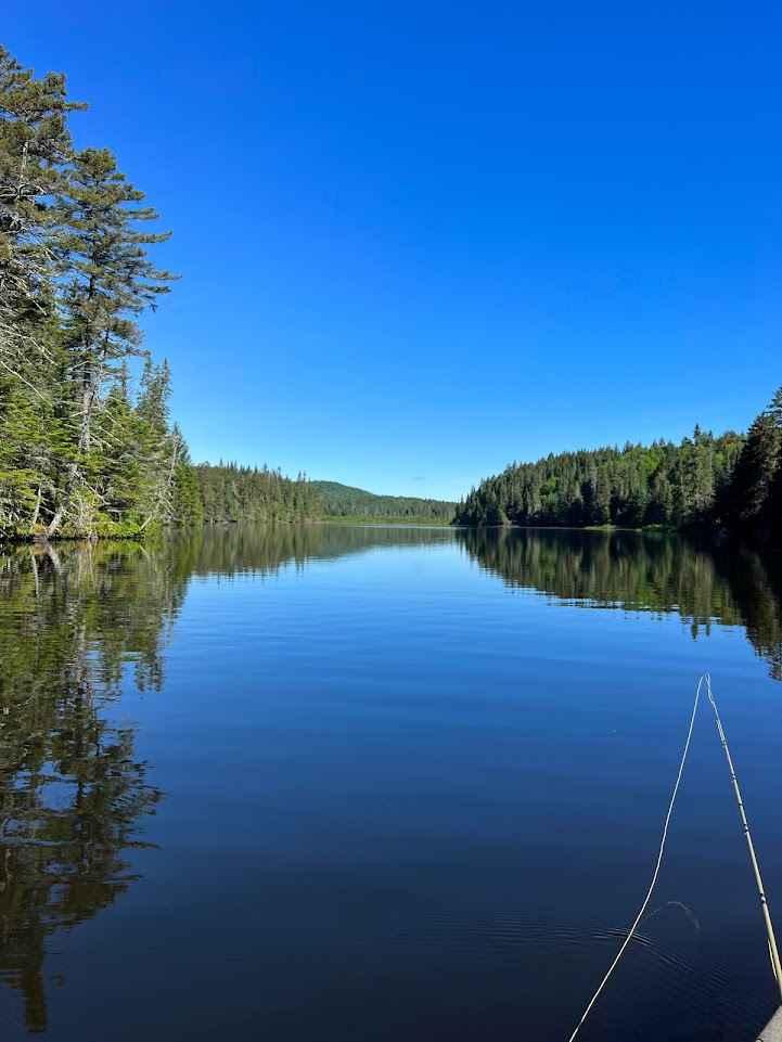
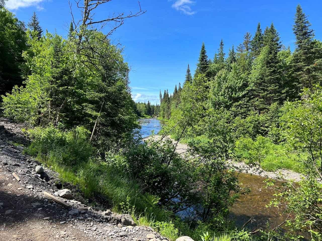
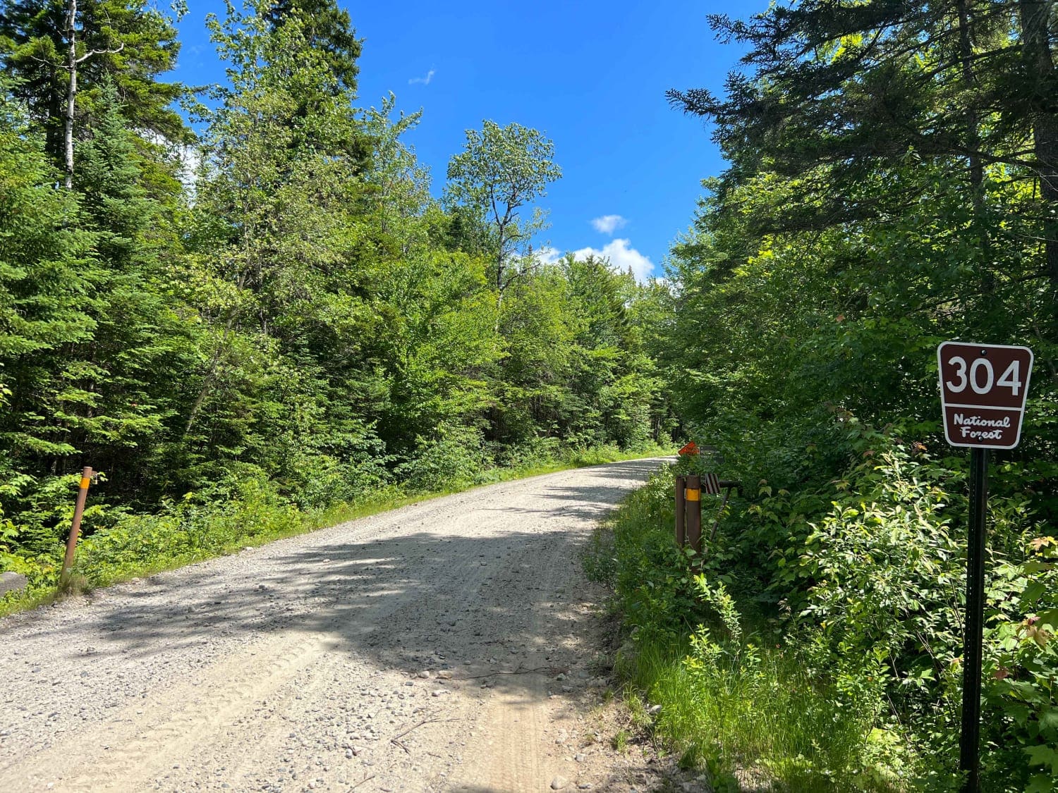
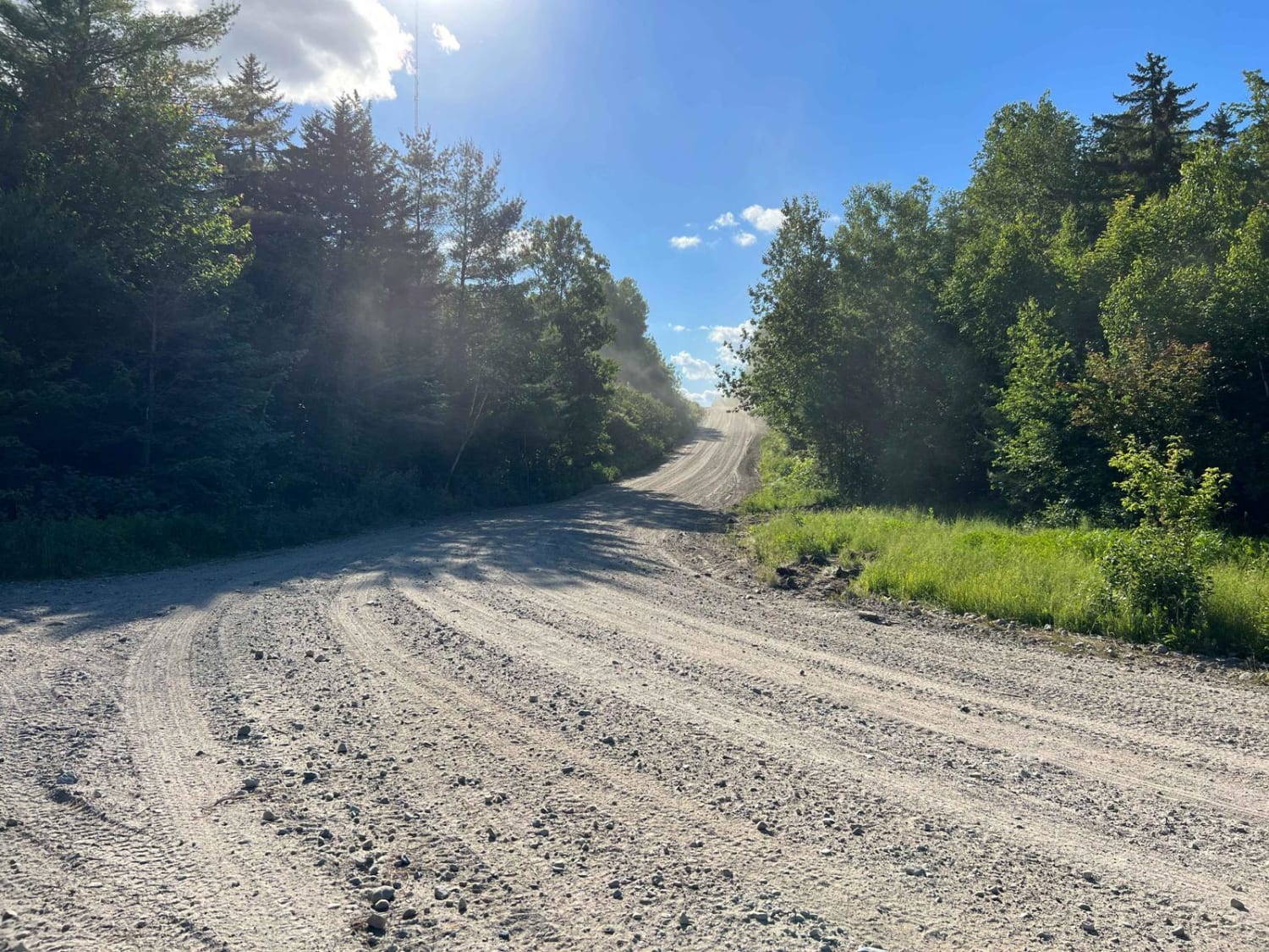
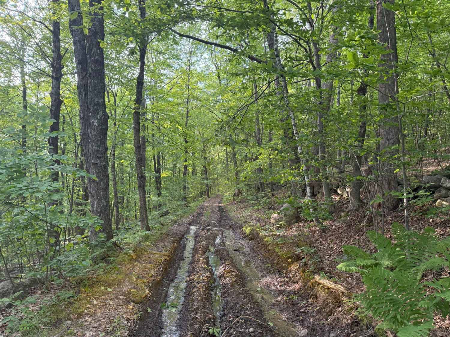
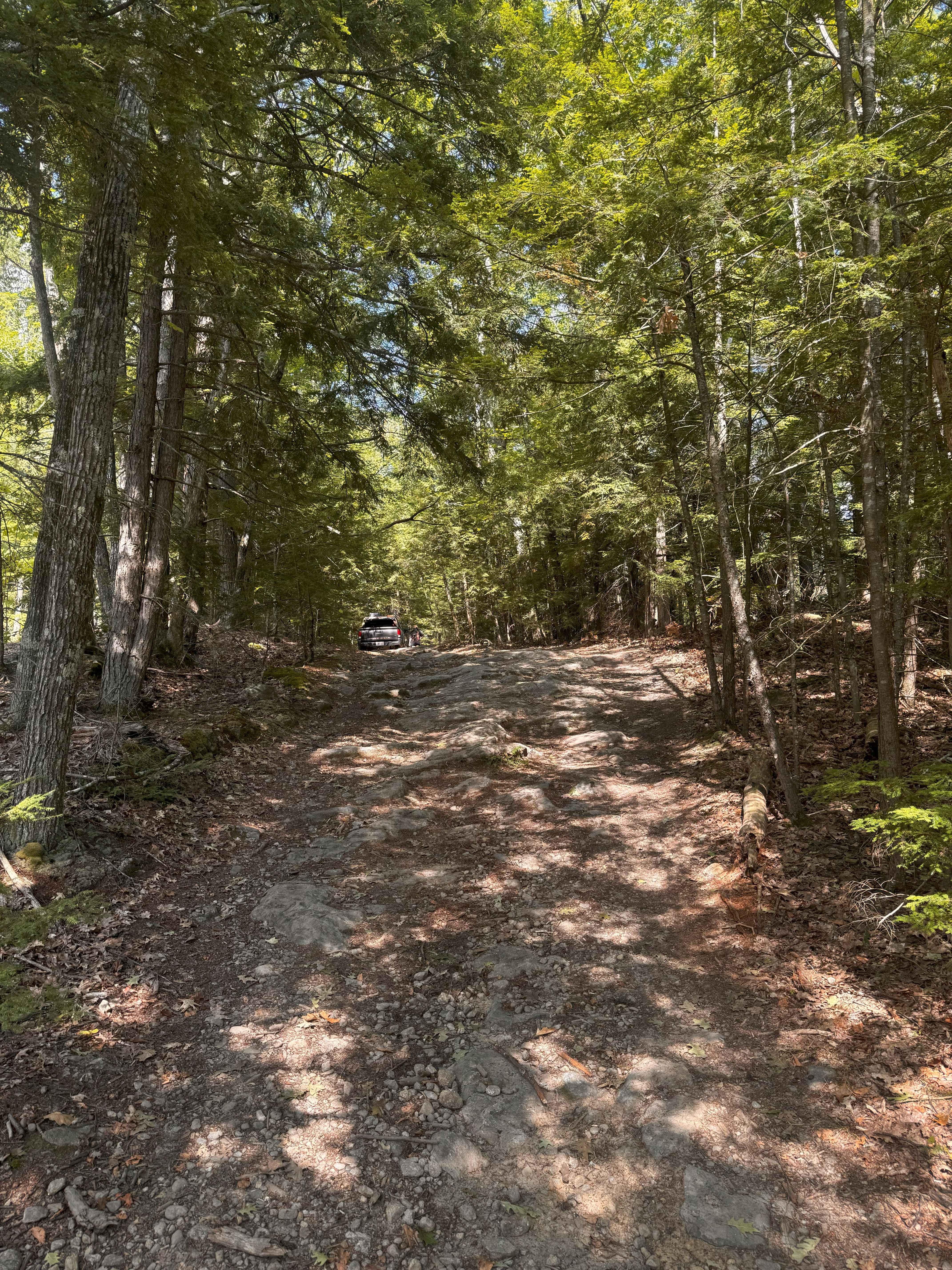
Trail Overview
This is an amazing out-and-back adventure that ends at the Canadian Border or at a beautiful pound called Terrill Pond. The road is a remote logging road system that has many gated offshoots that open and close based on logging activity and season. The road surface is mainly well maintained but there are log yards and active logging that can change the surface quickly. There are no services or cell phone coverage in this area so have a full tank of fuel and downloaded maps before leaving the center of town. Be carful in the spring due to mud.
Photos of Indian Stream Road to Terrill Pond
Difficulty
The active logging changes the road quality
Status Reports
Indian Stream Road to Terrill Pond can be accessed by the following ride types:
- High-Clearance 4x4
- SUV
Indian Stream Road to Terrill Pond Map
Popular Trails
Haystack Road
Brimstone Corner Road
Mountain Road
The onX Offroad Difference
onX Offroad combines trail photos, descriptions, difficulty ratings, width restrictions, seasonality, and more in a user-friendly interface. Available on all devices, with offline access and full compatibility with CarPlay and Android Auto. Discover what you’re missing today!