Jefferson Notch Road
Total Miles
8.5
Technical Rating
Best Time
Fall
Trail Type
Full-Width Road
Accessible By
Trail Overview
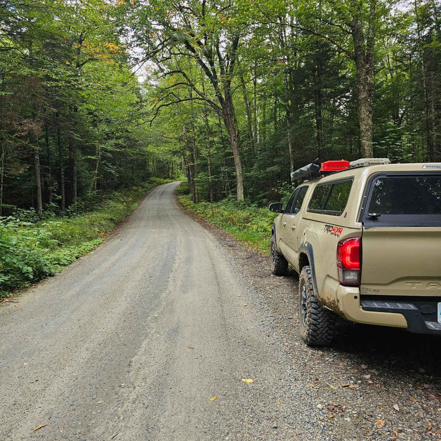
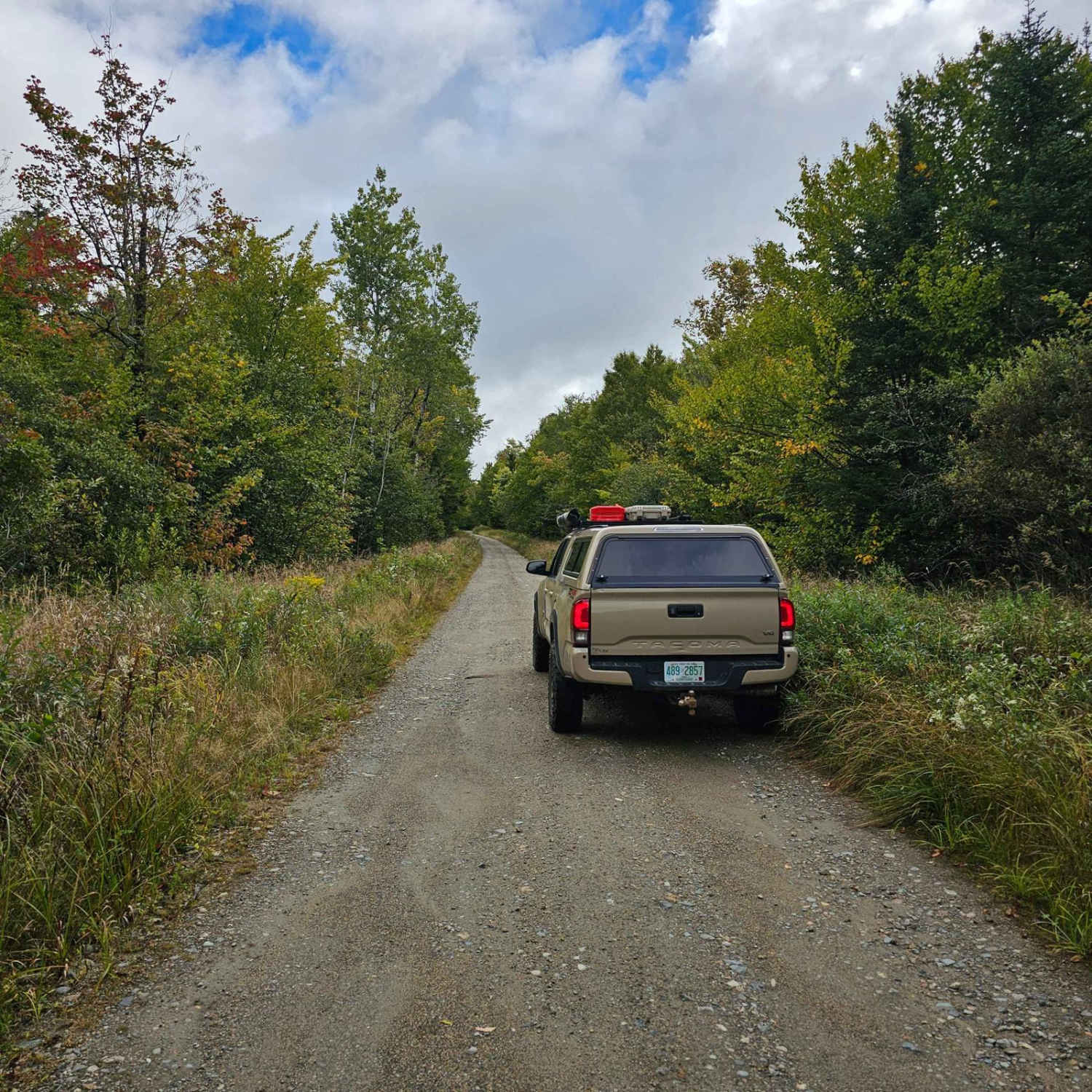
Jefferson Notch Road is a pretty easy road that most vehicles can drive. That being said it makes it so more people can experience this road that winds next to a brook up into the mountains and brings you to the highest elevation reached by a public road in New Hampshire. Along this road, you can find many campsites scattered along this road. Most if not all campsites are on the north side towards Valley Road. All sites are 14-day max and must occupy the site the first night. Many of the sites are right next to the brook. Fair warning these sites fill up fast. At the highest point of this road, there is a trailhead for you take take your adventure on foot if your heart desires. Most of this road is about a car and a half wide so you can let traffic pass.
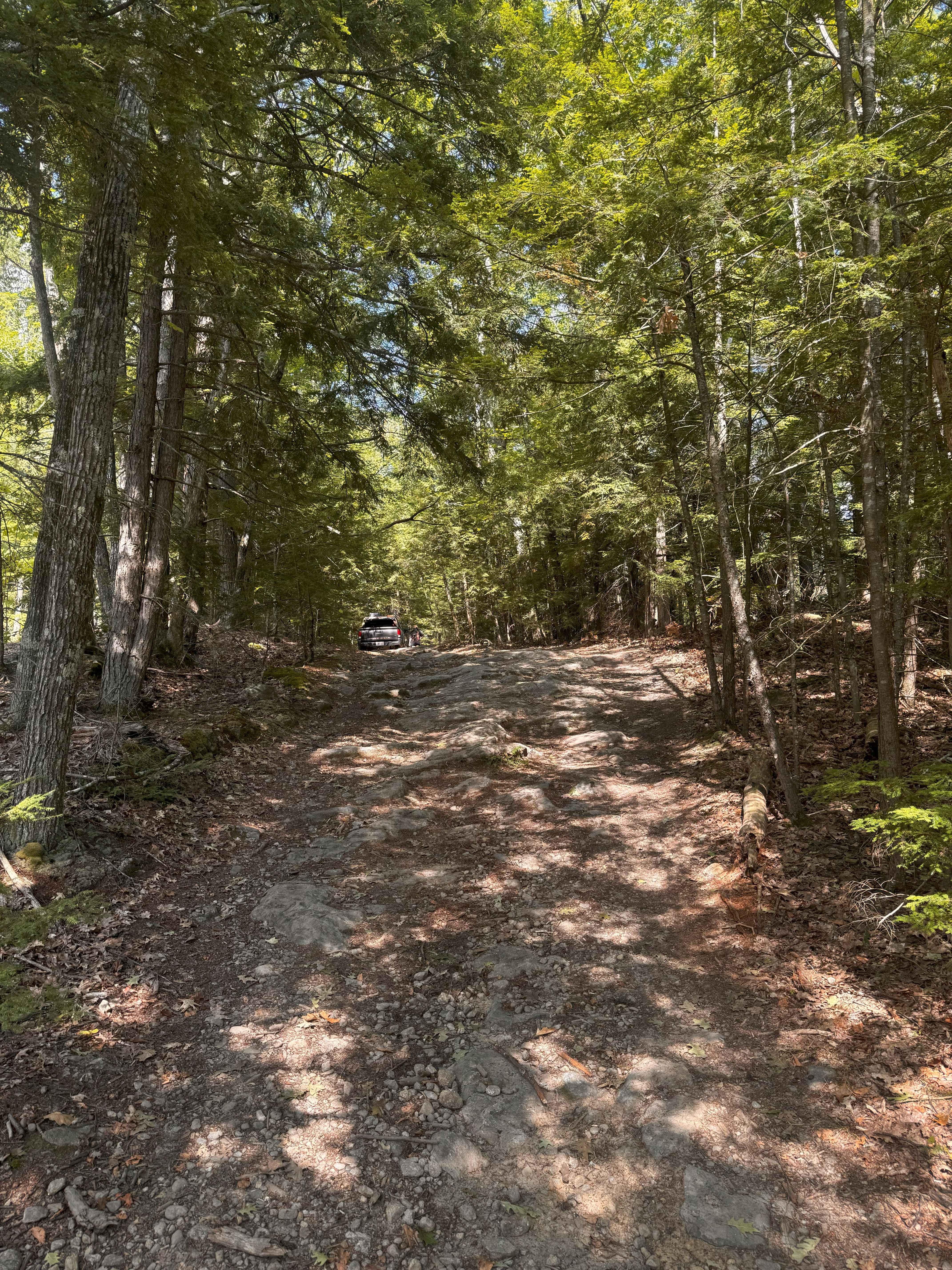
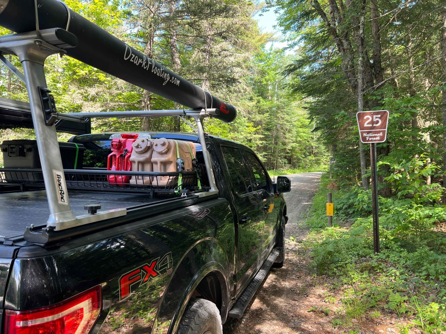
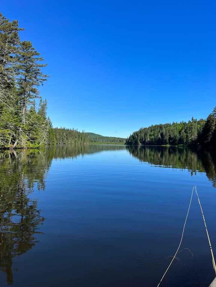
Photos of Jefferson Notch Road

Difficulty
This road can allow vehicles past each other at almost any point a long the way. Sometimes after a heavy storm, some ruts and washouts can occur. The road is only open seasonally.
Status Reports
Jefferson Notch Road can be accessed by the following ride types:
- High-Clearance 4x4
- SUV
Jefferson Notch Road Map
Popular Trails
Mountain Road
Indian Stream Road to Terrill Pond
The onX Offroad Difference
onX Offroad combines trail photos, descriptions, difficulty ratings, width restrictions, seasonality, and more in a user-friendly interface. Available on all devices, with offline access and full compatibility with CarPlay and Android Auto. Discover what you’re missing today!