Wildhorse Track
Total Miles
31.7
Technical Rating
Best Time
Spring, Summer, Fall, Winter
Trail Type
Full-Width Road
Accessible By
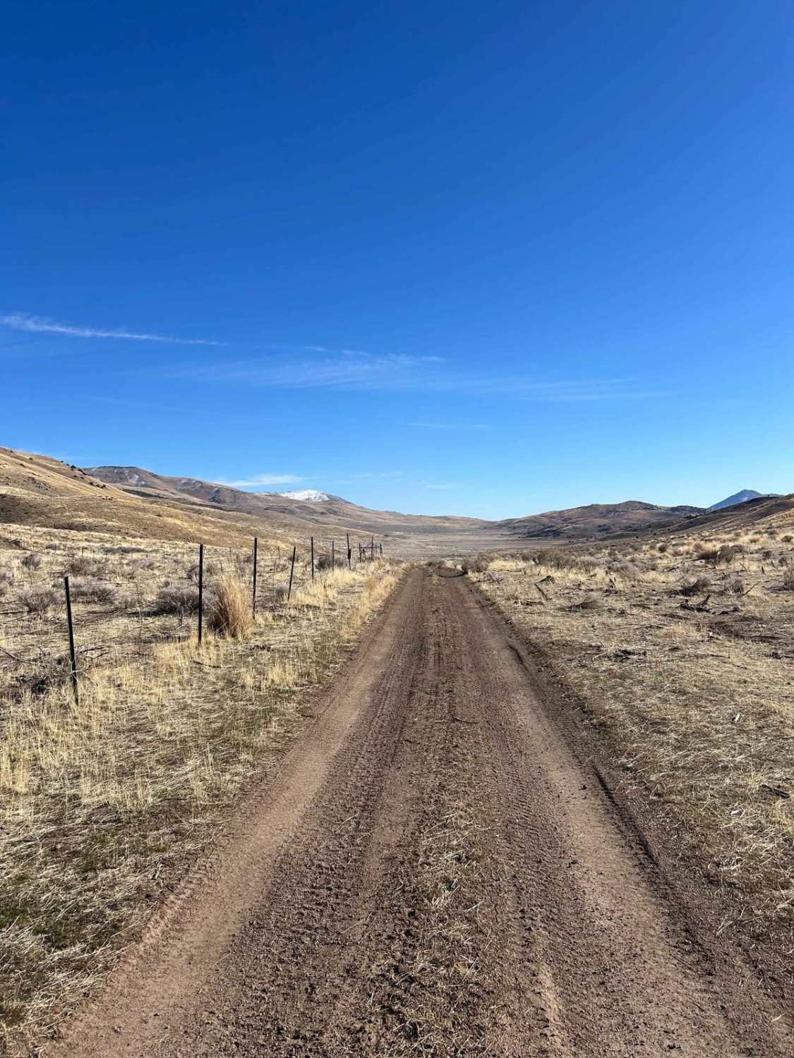
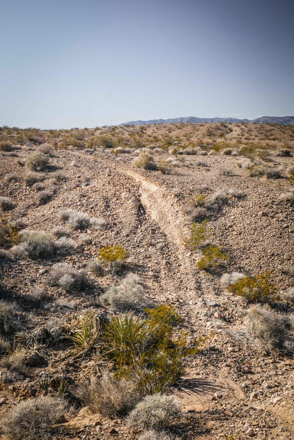
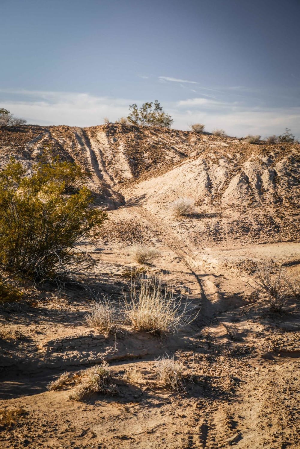
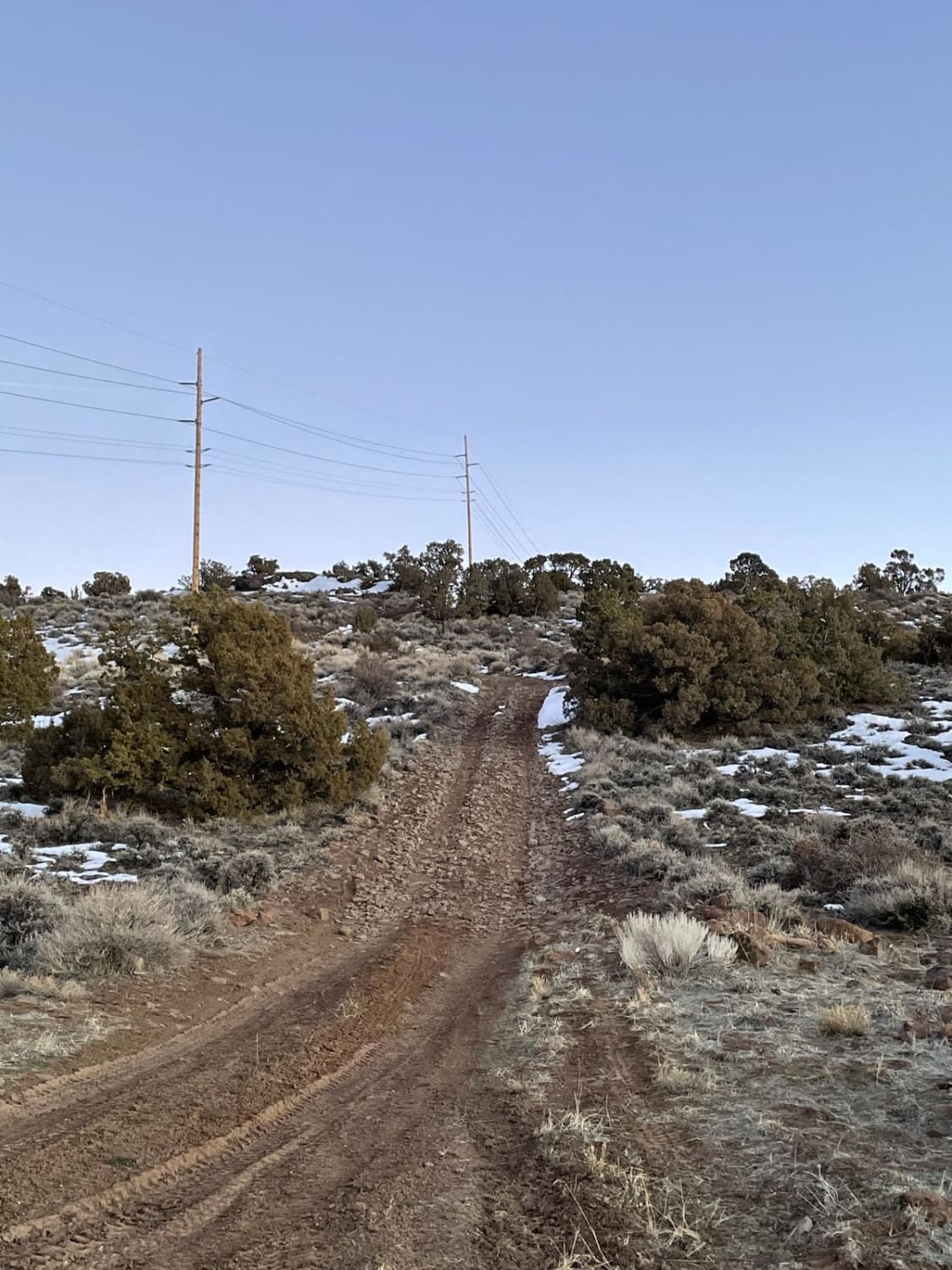
Trail Overview
Travel through Red Rock Canyon, running along the border of California and cutting back over to Antelope Valley using a popular off-road connector. Blaze across Antelope Valley and visit the Moon Rocks area, or continue up and over Warm Springs Mountain, down into Hungry Valley, and back to Winnemucca Ranch Road. This trail offers a bit of everything- deep sand turns, wide-open flat stretches for some speed, thrilling whoops for adrenaline seekers, and climbs up the Warm Springs Range before dropping back down to the sandy valley floor. Be careful to stay out of the Reno-Spark Indian Colony lands that border the last part of this trail. Keep an eye out for herds of wild horses or antelope as they roam the flats or traverse the nearby mountain range.
Photos of Wildhorse Track

Difficulty
From winding canyon passes to sandy stretches, this entire route is easily passable. During winter and spring, some areas may become muddy and wet, adding an extra challenge to the ride.
Status Reports
Wildhorse Track can be accessed by the following ride types:
- High-Clearance 4x4
- SUV
- SxS (60")
- ATV (50")
- Dirt Bike
Wildhorse Track Map
Popular Trails
Spanish Springs Foothills

Wonder Road
The onX Offroad Difference
onX Offroad combines trail photos, descriptions, difficulty ratings, width restrictions, seasonality, and more in a user-friendly interface. Available on all devices, with offline access and full compatibility with CarPlay and Android Auto. Discover what you’re missing today!