Slippin N Scramblin
Total Miles
1.8
Technical Rating
Best Time
Spring, Summer, Fall
Trail Type
Full-Width Road
Accessible By
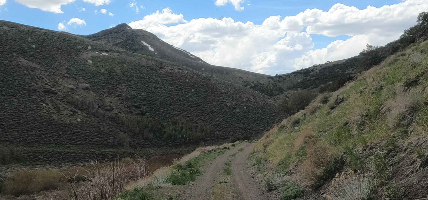
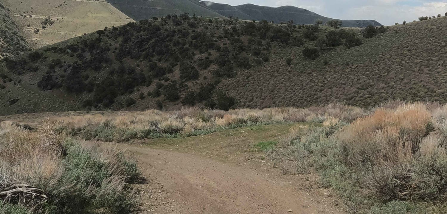
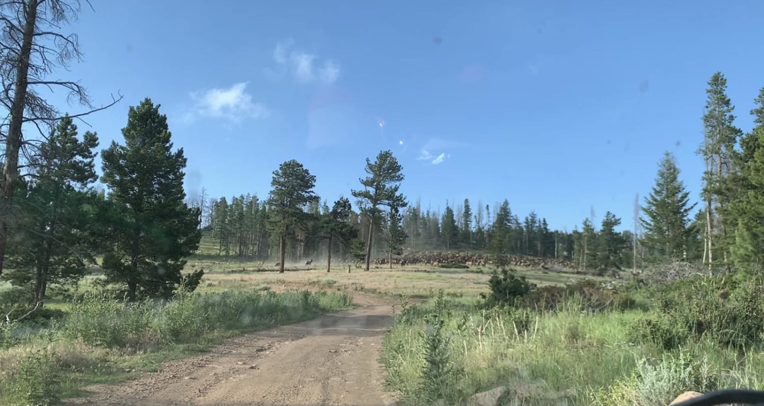
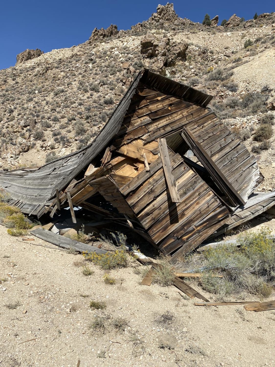
Trail Overview
This unmaintained, two-mile mining road connects from the top of North Fork Big Creek to South Fork Birch Creek in the Toiyabe Mountains. It sees little use other than the occasional hunter or oddball explorer. It is steep in sections and has some sidehill exposure. Use low range. This high country road is not plowed and will likely be snowbound until mid to late May.
Photos of Slippin N Scramblin
Difficulty
steep mining access road with side-hill exposure
Status Reports
Slippin N Scramblin can be accessed by the following ride types:
- High-Clearance 4x4
- SUV
Slippin N Scramblin Map
Popular Trails
Boathouse Cove 97
Ellsworth Pass
The onX Offroad Difference
onX Offroad combines trail photos, descriptions, difficulty ratings, width restrictions, seasonality, and more in a user-friendly interface. Available on all devices, with offline access and full compatibility with CarPlay and Android Auto. Discover what you’re missing today!