North Twin River - FS 43282
Total Miles
3.6
Technical Rating
Best Time
Spring, Summer, Fall
Trail Type
Full-Width Road
Accessible By
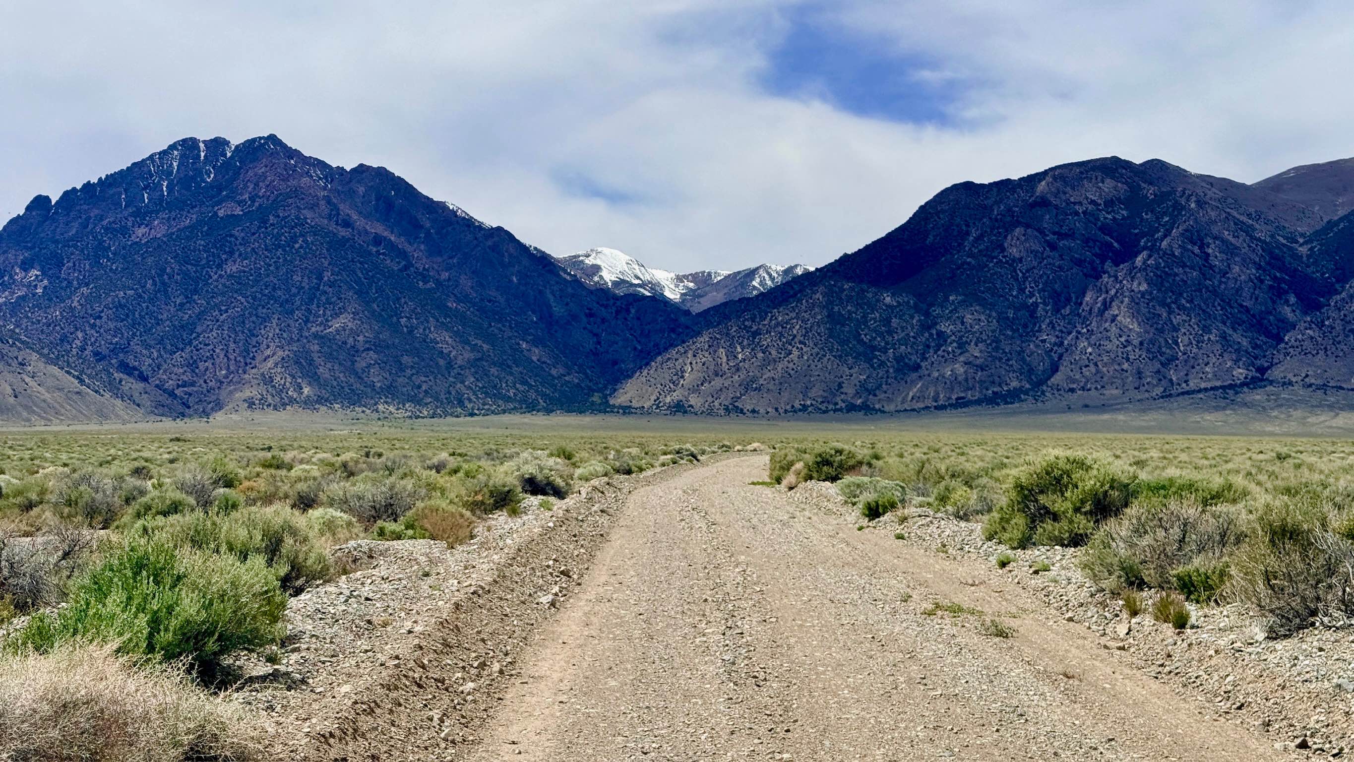
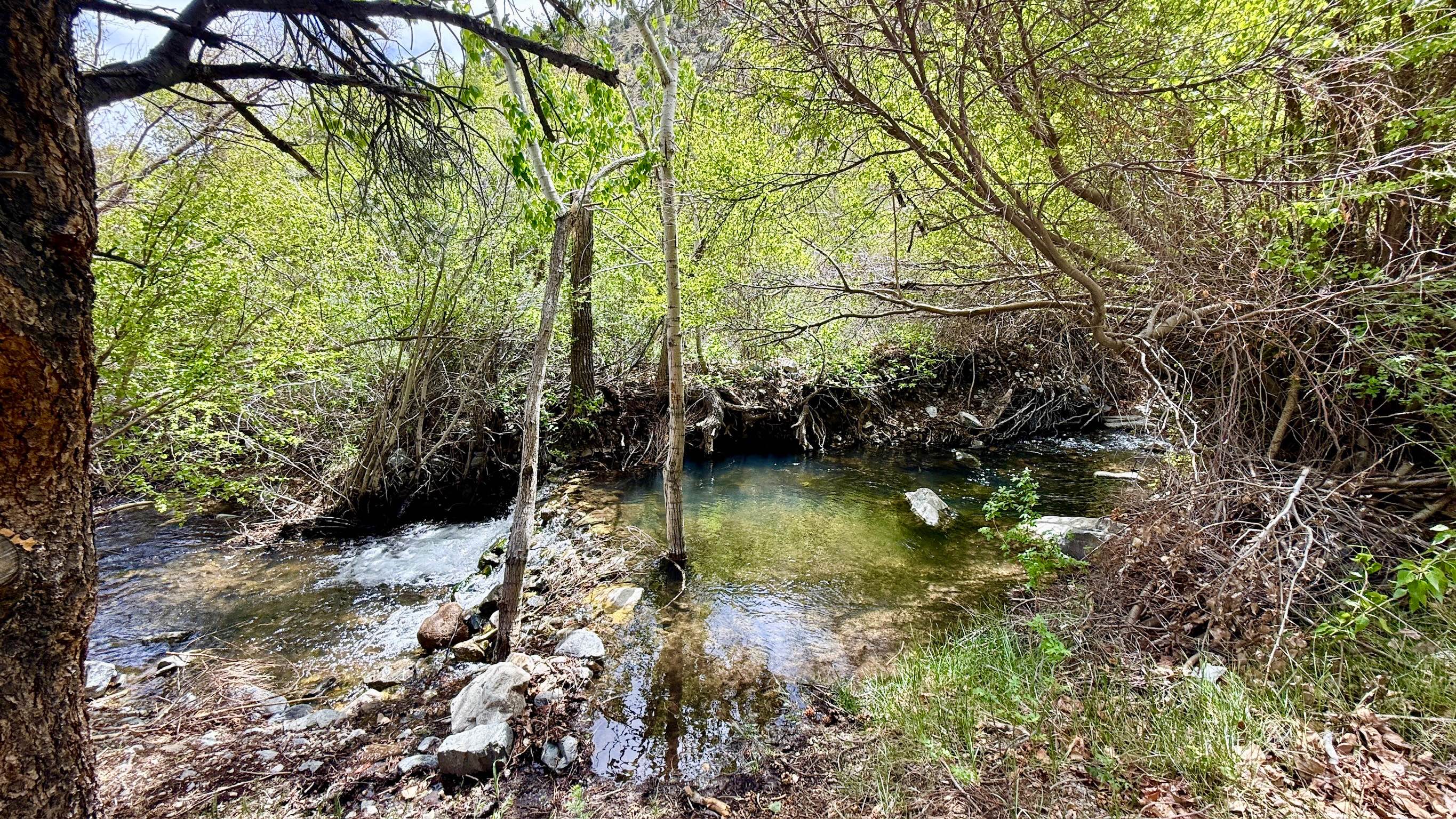
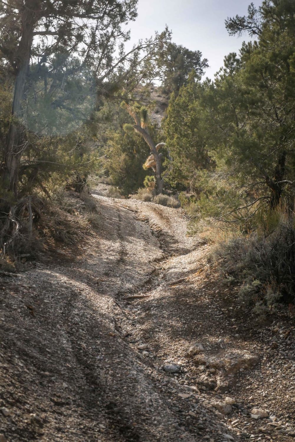
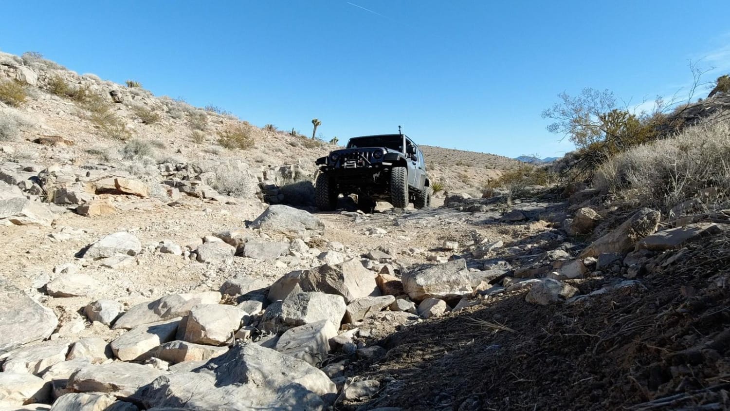
Trail Overview
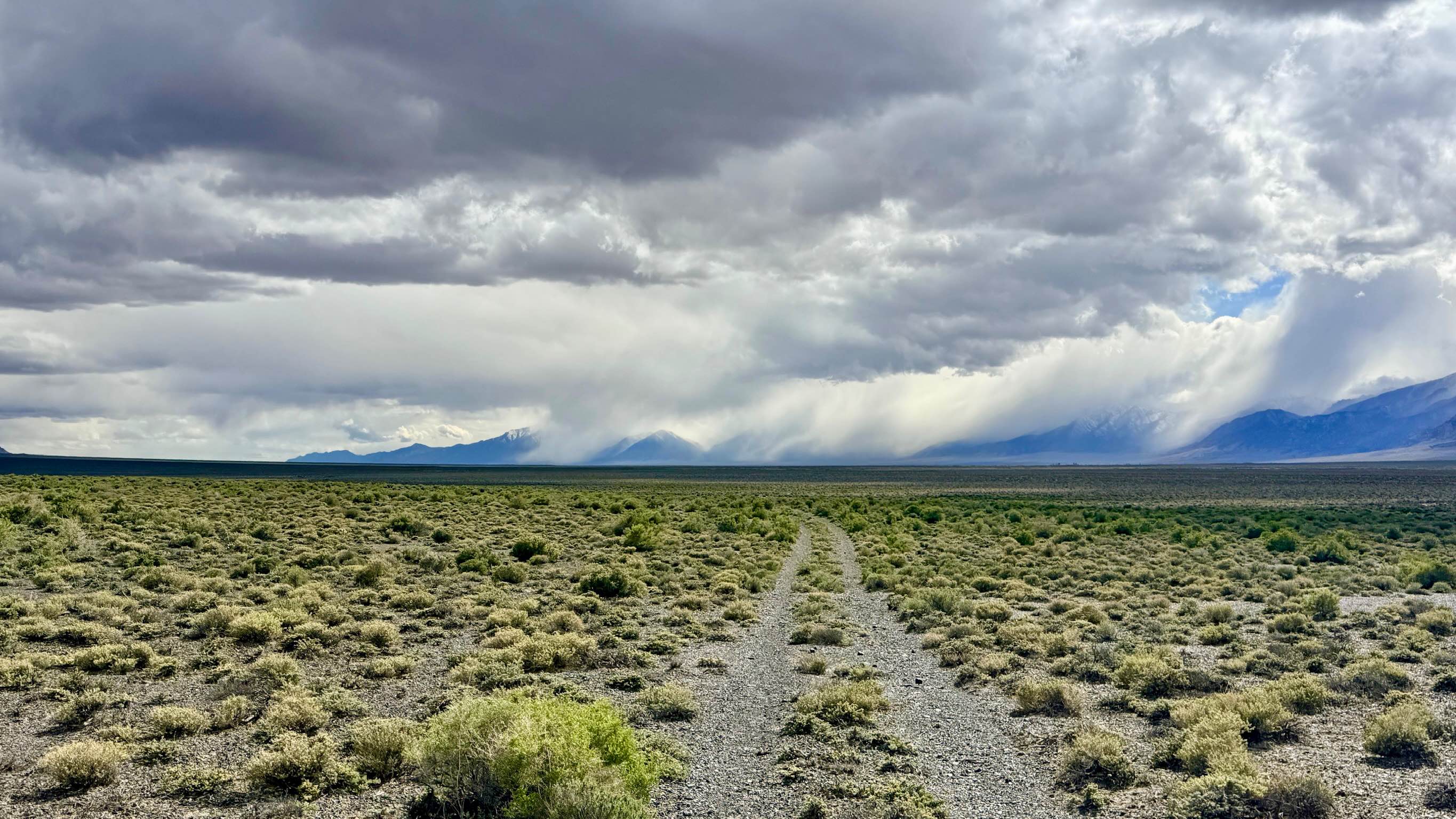
The North Twin River trail is a short but scenic access route to the rugged Arc Dome Wilderness, where all motorized and mechanized vehicles (including bicycles) are strictly prohibited. The driving trail winds through the desert floor before tucking into the foothills, terminating at a spacious parking and staging area that is a staging point for the North Twin River hiking trail. The environment here is a refreshing change of pace from the Nevada desert. As you approach the trailhead, the route begins to parallel the North Twin River. The riparian zone creates a lush corridor where you may find hidden swimming holes and several secluded, dispersed camping spots scattered along the banks. While the journey begins on a wide and inviting road, the track becomes increasingly narrow and rocky as you climb toward the wilderness boundary. The final leg is a steady, low-speed crawl over jagged volcanic rock, offering a quiet transition from the motorized world to the foot-travel-only sanctuary of the high peaks. There is no cell service once you leave the valley floor and enter the canyon. Download offline maps before leaving the Tonopah or Highway 376 corridor.
Photos of North Twin River - FS 43282
Difficulty
Suitable for most high-clearance SUVs and 4x4 vehicles. While a standard car may make it most of the way, the final rocky stretch to the trailhead is best suited for vehicles with higher ground clearance. Rated a 2 for the final rocky segment.
History
The North Twin River canyon has been a vital oasis in the Great Basin for millennia. Today, the Arc Dome Wilderness protects this landscape, ensuring it remains as wild and untamed as it was when the first explorers looked upon the "Twin" peaks.
Status Reports
North Twin River - FS 43282 can be accessed by the following ride types:
- High-Clearance 4x4
- SUV
- SxS (60")
- ATV (50")
- Dirt Bike
North Twin River - FS 43282 Map
Popular Trails
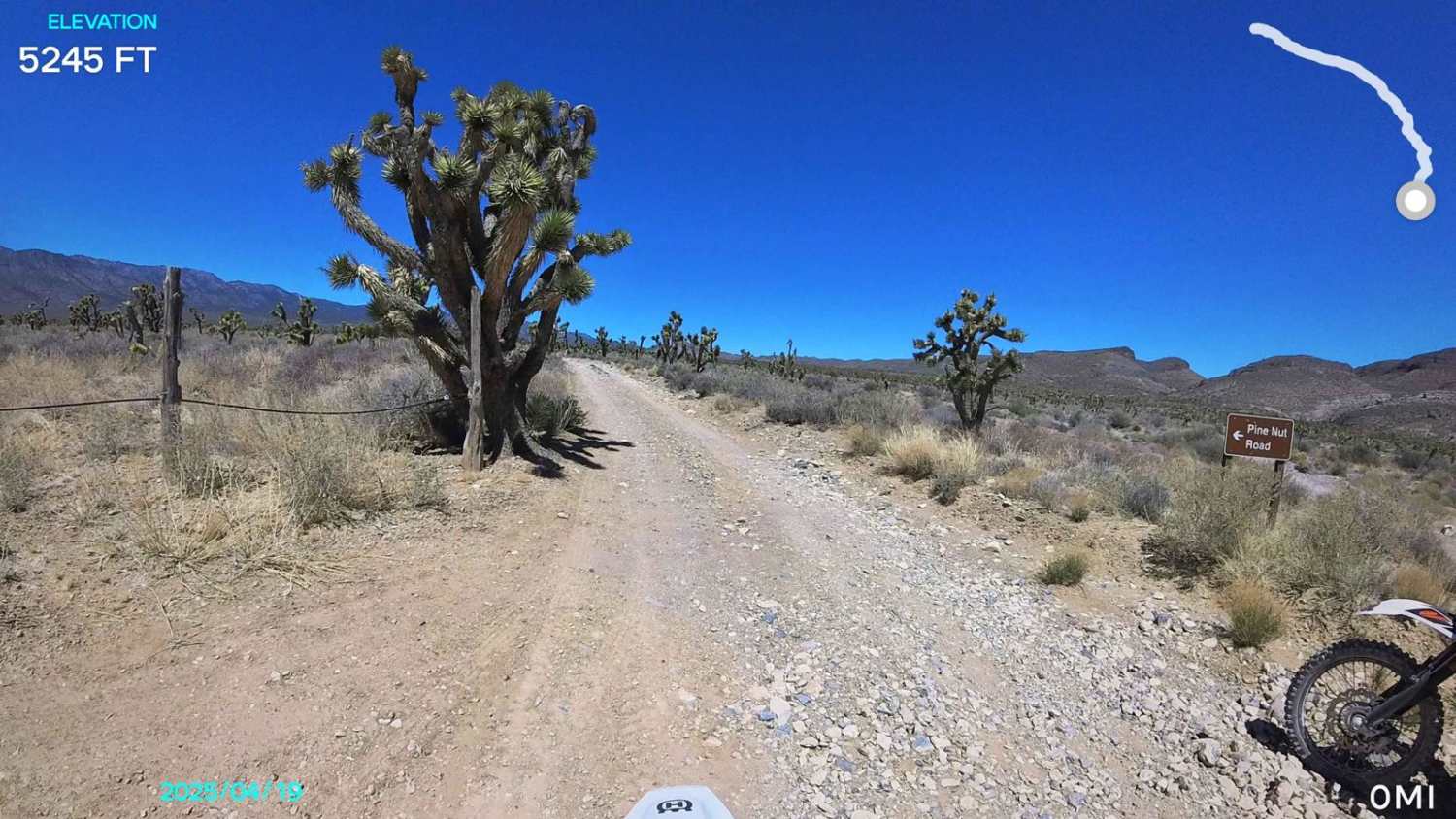
Pine Nut Road
Lower Canyon Cutover Trail - BLM 288
Railroad Canyon
The onX Offroad Difference
onX Offroad combines trail photos, descriptions, difficulty ratings, width restrictions, seasonality, and more in a user-friendly interface. Available on all devices, with offline access and full compatibility with CarPlay and Android Auto. Discover what you’re missing today!