Logandale OHV - Trail 2
Total Miles
6.6
Technical Rating
Best Time
Spring, Fall, Winter
Trail Type
High-Clearance 4x4 Trail
Accessible By
Trail Overview
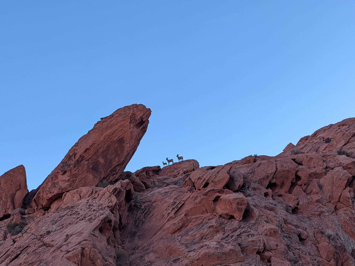
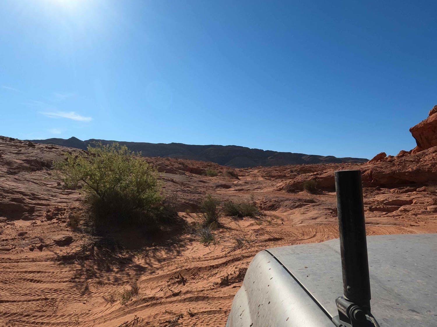
Simply called 'Trail 2,' this rock trail is part of the Logandale OHV system that is on both BLM and State Park land just North of Valley of Fire State Park outside of Las Vegas. This fun trail alternates between rolling ridges and punchy drops and climbs through tight arroyos as it travels alongside numerous red rock formations. Summer here can get extremely hot. Keep an eye out for the occasional bighorn sheep up in the rocks.
Photos of Logandale OHV - Trail 2
Difficulty
Rated intermediate because of the arroyos
Status Reports
Logandale OHV - Trail 2 can be accessed by the following ride types:
- High-Clearance 4x4
- SxS (60")
- ATV (50")
- Dirt Bike
Logandale OHV - Trail 2 Map
Popular Trails

El Dorado Canyon OHV Trail
Carson River East Fork Hot Springs Trail
The onX Offroad Difference
onX Offroad combines trail photos, descriptions, difficulty ratings, width restrictions, seasonality, and more in a user-friendly interface. Available on all devices, with offline access and full compatibility with CarPlay and Android Auto. Discover what you’re missing today!