Carson River East Fork Hot Springs Trail
Total Miles
10.0
Technical Rating
Best Time
Spring, Summer, Fall, Winter
Trail Type
High-Clearance 4x4 Trail
Accessible By
Trail Overview
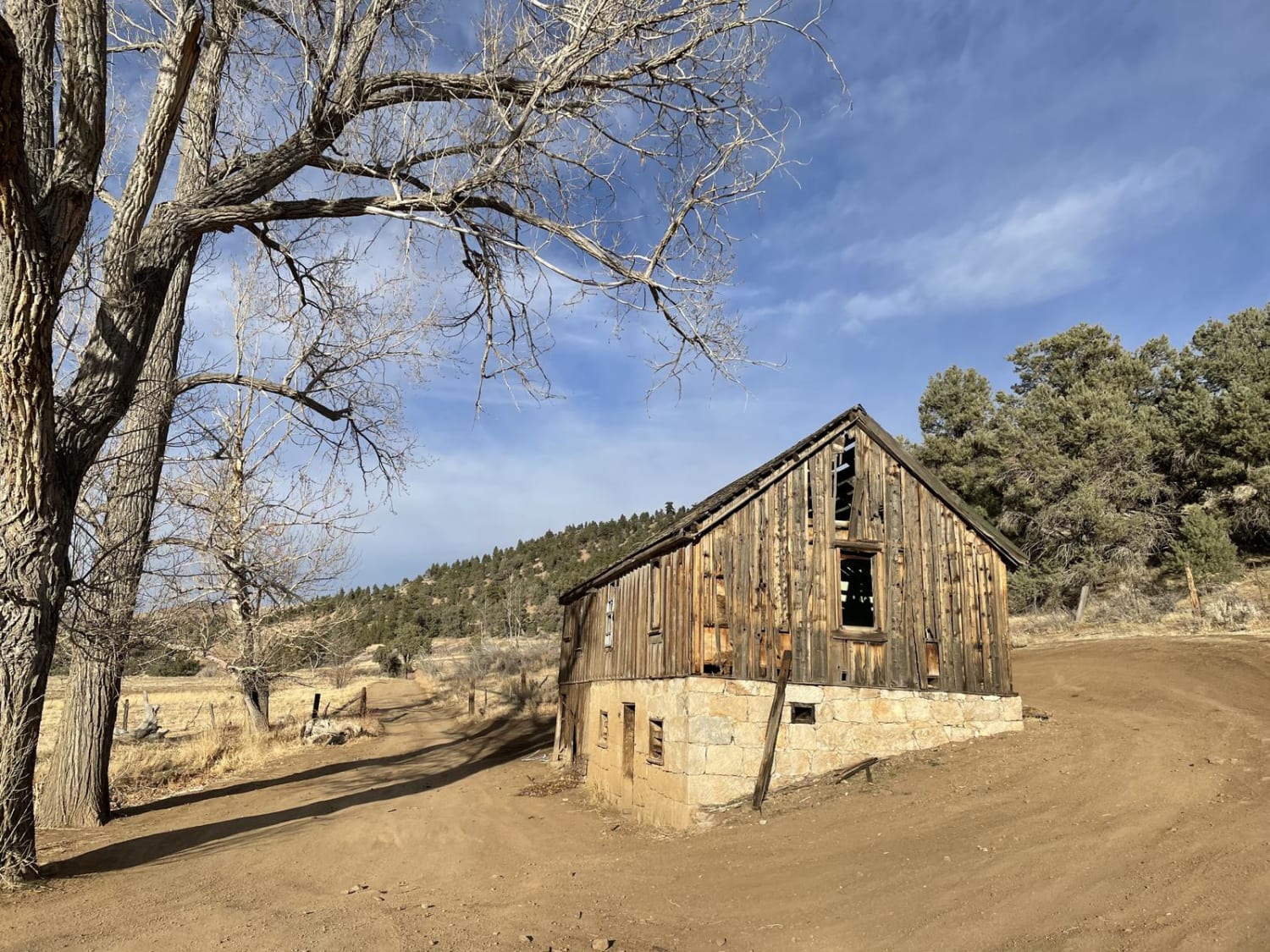
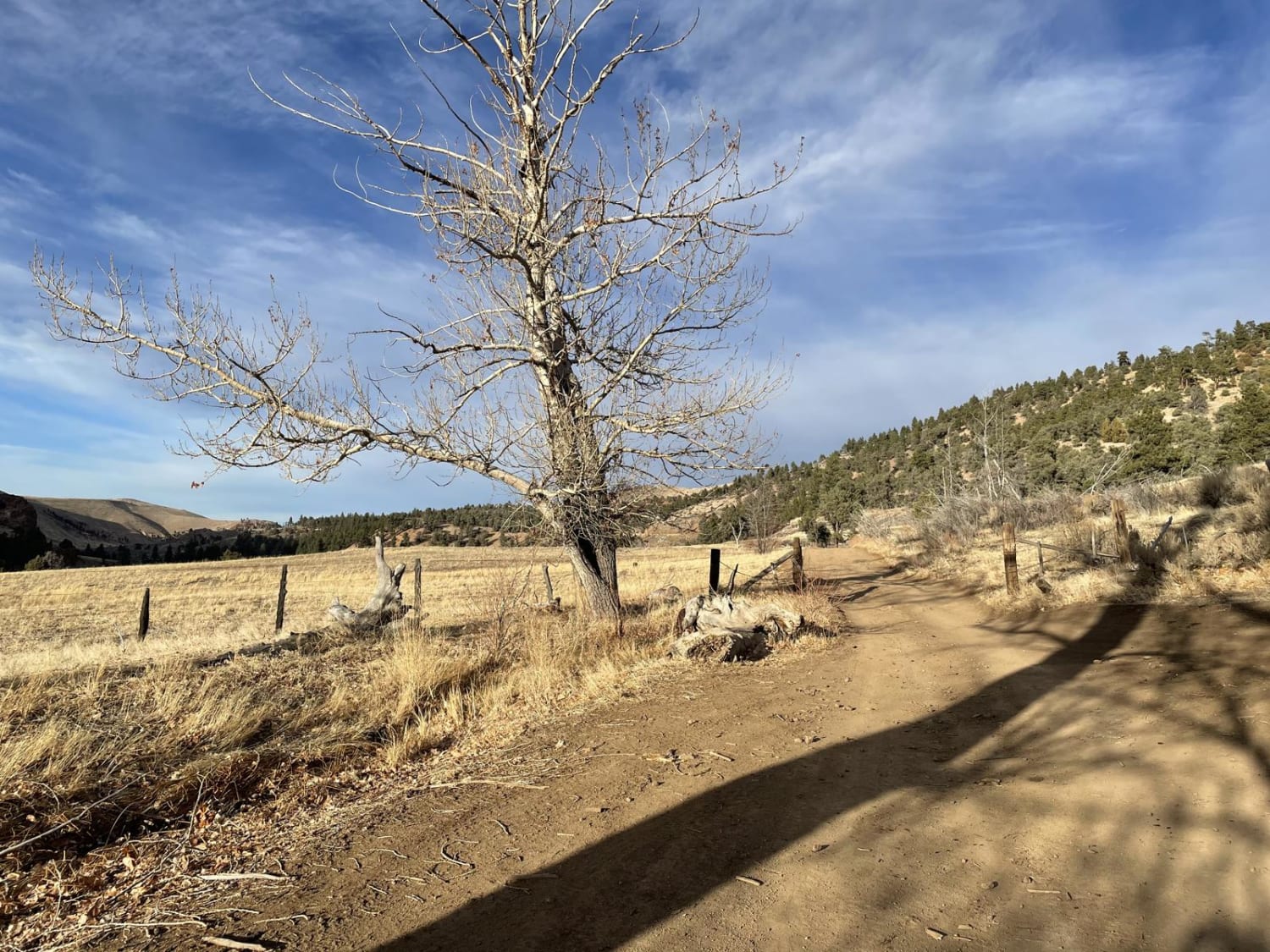
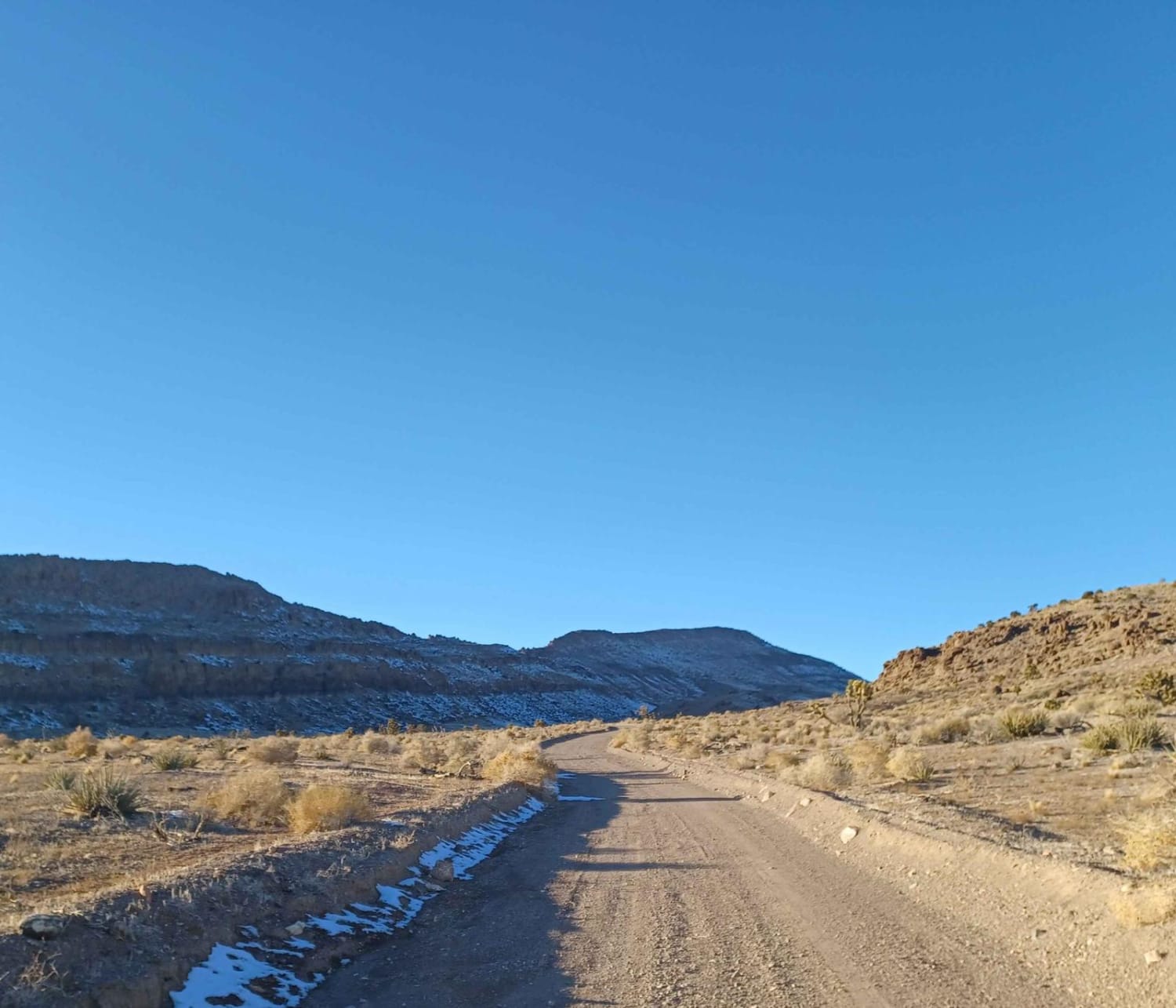
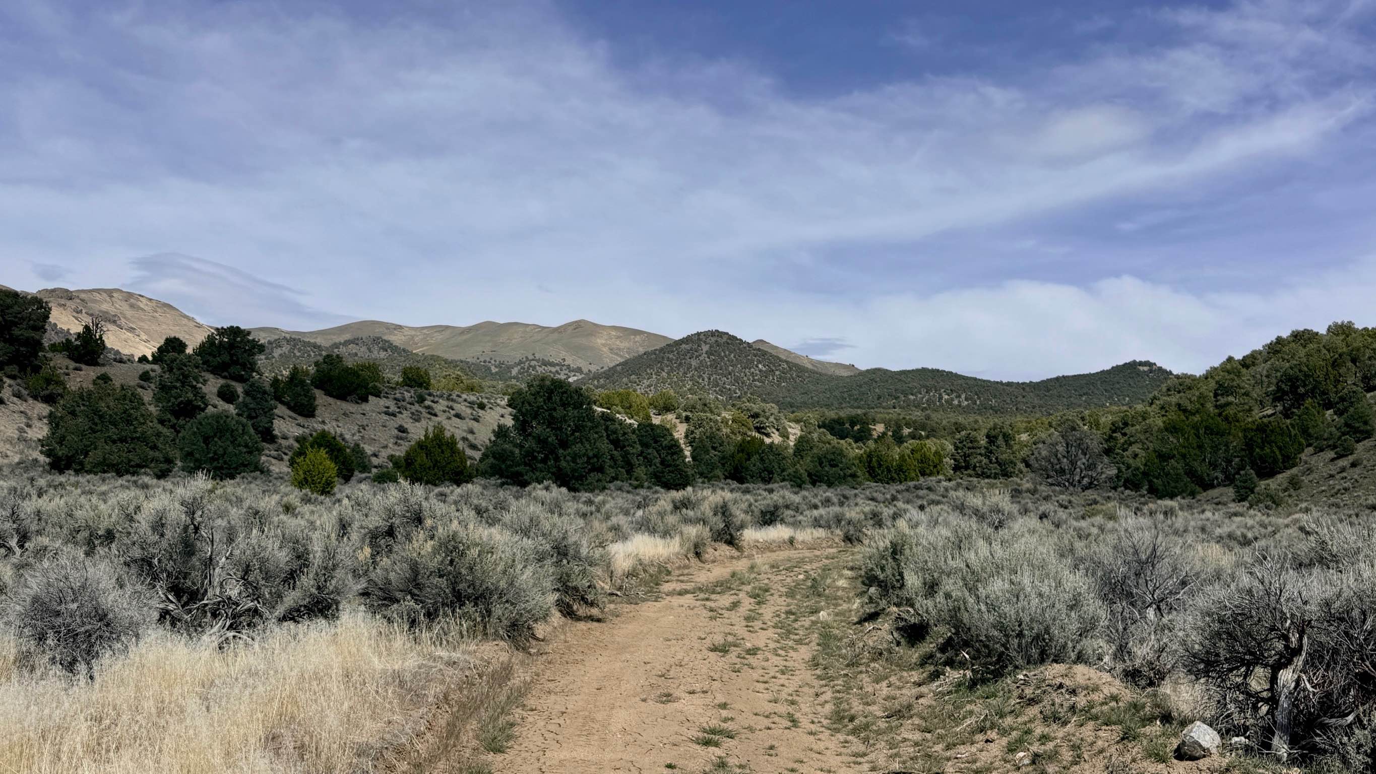
This trail along the East Fork of the Carson River with spectacular views of the River's canyon, the walls peaks of the High Sierra's to the west will not disappoint any mid-level experienced rider. Use caution and be courteous, this may be a high traffic area. The majority of this trail is only wide enough for a single vehicle to pass. You may encounter muddy areas dependent on season. The trail, just under 10 miles in length will take about an hour. The culmination of this trail will stop you at a series of hot spring pools fed by a natural hot spring that boarders the East Fork of the Carson River. The pools, created by riders and hikers of the years are well built stone structures for taking in the breathtaking views while enjoying a soak. To get there, start from Gardnerville, NV and travel South on US 395 for 6.5 Miles. The staging area is large with many parking areas to unload an off-road vehicle or prepare your high-clearance 4x4 for the trail. The start of the trail is clean gravel/rock which descends into a dry creek valley with a steep climb out the other side traveling west. Once you've reached the top, you'll continue on the trail which consists of rocks and sand for about one mile, at which you'll reach a fork in the trail. At the fork, stay left on the trail and you will begin a steady downhill descent into the river valley. The descent is entirely rock covered with various large boulders to navigate around. At the bottom of the hill, you'll encounter a shallow creek crossing with a steep grade to enter the crossing which is on average 2-3" deep. Once you've cleared the crossing, you will follow the trail along the river. This portion of the trail is well-packed dirt and sand. Continue this portion of the trail for another half mile where you will encounter the second water crossing. This crossing depth varies by season and can range from dry to 12" deep. Here you will navigate more large boulders down a steep descent into the water. Once past this crossing make an immediate left, climbing a a steep grade for about 25 feet. A few meters later you will have crossed into Califorina. Following the trail, you'll come upon an old farm house which make a great spot to stop and take photos. Staying on the same trail, you'll encounter 2 more shallow water crossings. Once you've cleared the second of these two water crossings, make a right hand turn on the trail where you'll begin a short ascent to which at the crest will begin a steep descent. The river and hot springs hill come into view as you descent this part of the trail. At the bottom, crossing the East Fork of the Carson River will get you to the hot springs. The river depth varies by season, at times, the depth and current may be hazardous to take in a vehicle. There is a parking area on the trail side of the river if walking across is your preference.
Photos of Carson River East Fork Hot Springs Trail
Difficulty
Very rocky trail with large obstacles, deep water crossings and potential for deep mud. Steep ascents and descents required.
Status Reports
Carson River East Fork Hot Springs Trail can be accessed by the following ride types:
- High-Clearance 4x4
- ATV (50")
- Dirt Bike
Carson River East Fork Hot Springs Trail Map
Popular Trails

Wash to Ridge Single Track
Twin Springs Road

Adams McGill Reservoir Crossover Road
The onX Offroad Difference
onX Offroad combines trail photos, descriptions, difficulty ratings, width restrictions, seasonality, and more in a user-friendly interface. Available on all devices, with offline access and full compatibility with CarPlay and Android Auto. Discover what you’re missing today!