Gird Creek
Total Miles
7.3
Technical Rating
Best Time
Summer, Fall
Trail Type
Full-Width Road
Accessible By
Trail Overview
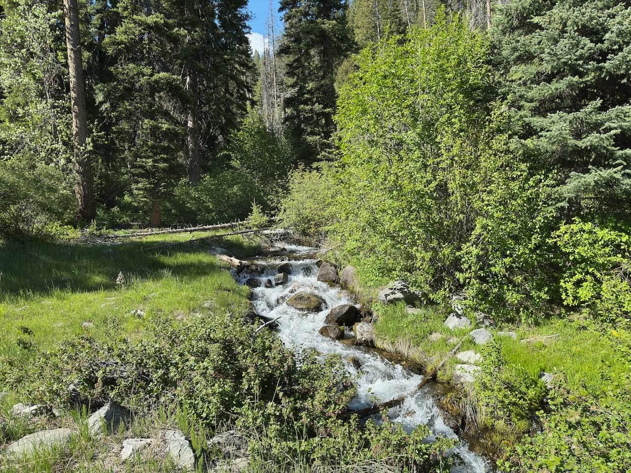
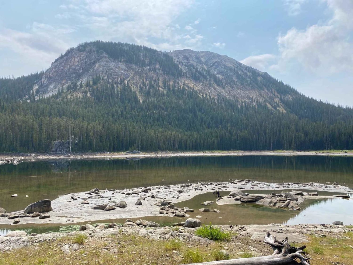
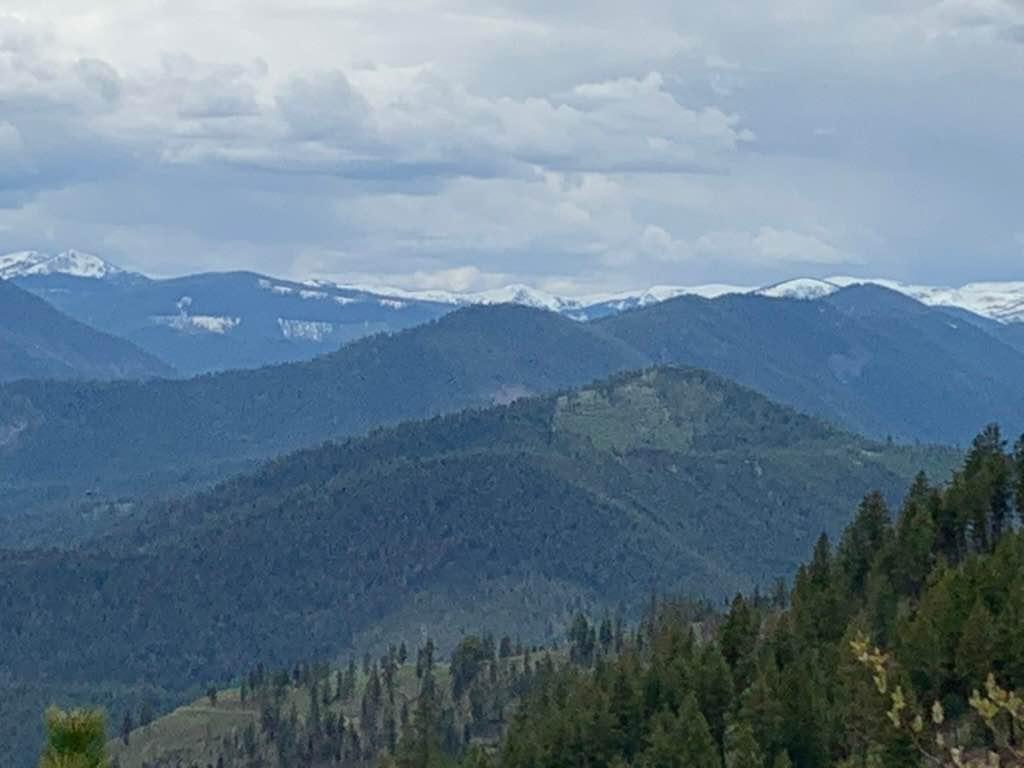
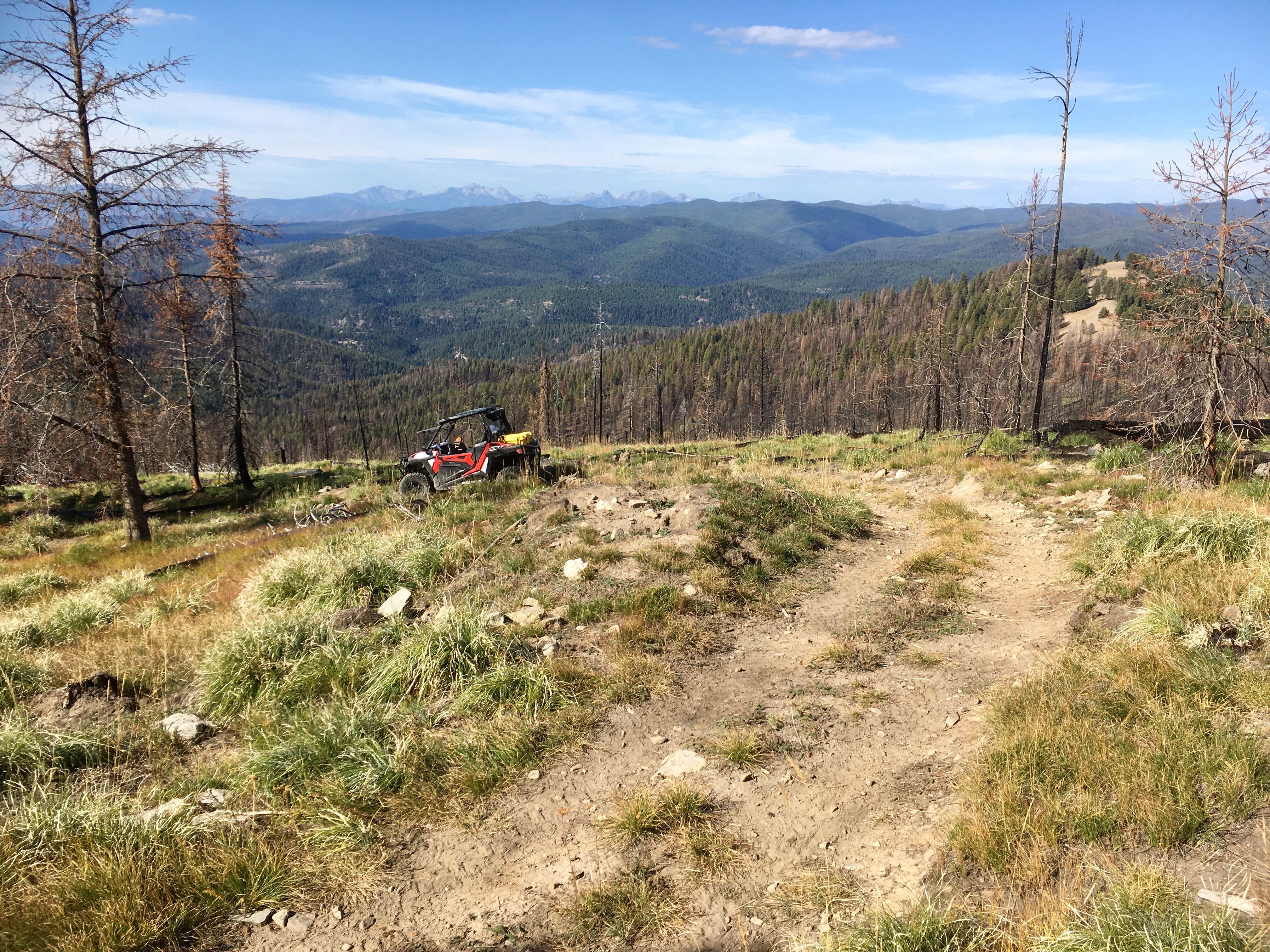
Gird Creek Trail splits off of the Gird Point Lookout Trail about 10 miles up from Skalkaho Highway. This trail is pretty easy overall, but some larger-sized rocks can be on the trail or the edge of the trail. Although these rocks can be up to 24 inches in diameter, you can maneuver around them fairly easily, and there aren't that many of them. In addition to the few larger size rocks, there are a decent number of smaller rocks as well, but other than making the trail a little bit bouncier, they are of no concern and aren't much bigger than 6 inches in diameter. The trail is mostly one full-width vehicle wide, but there are a good number of wider spots to pass other vehicles. There are quite a few sections of this trail where the edge of it is a steep drop-off. There are some sections where the trail will narrow to the point where a full-width vehicle will have to squeeze through some tree branches, stumps, and brush. However, a full-width vehicle can make it through without any paint scratching. The last mile of the trail is narrower than the rest of the trail and is just a double track with a steep drop off the edge of the trail. This last section is a little bit more rocky than the rest of the trail as well. The surface of this trail is mostly dirt and contains hardly any potholes and washboards, so other than the sections of rocks, this trail is pretty smooth. There are some ruts in this trail, both from runoff as well as from tires when the surface was soft. None of these ruts is deeper than 6 inches, though. There are a couple of short sections of very minor off-camber, and there are a fair number of turns and switchbacks, but nothing is extremely tight. This trail comes to a dead end where you will have to reverse a few hundred yards before you can turn around. The spot where you can turn around is nice and big, and is an ideal spot to stop and turn back anyway. There are a few spots where you can catch a decent view of the surrounding mountains, the valley near Hamilton, MT, and of the Gird Point Lookout Tower.
Photos of Gird Creek

Difficulty
This is a pretty easy trail, but it has a few bigger rocks scattered throughout. Some ruts are small as well, but otherwise there aren't hardly any potholes, washboards, or any other obstacles. A couple of spots can get fairly tight through tree and bush branches on the side of the trail, but nothing a full-width vehicle can't maneuver through without paint damage. The trail is mostly one vehicle width, but there are a decent number of spots that are wider to pass oncoming vehicles.
Status Reports
Gird Creek can be accessed by the following ride types:
- High-Clearance 4x4
- SUV
- SxS (60")
- ATV (50")
- Dirt Bike
Gird Creek Map
Popular Trails
Johnson Creek to Superior
Reynolds - Lick ATV

Bridger Foothills
The onX Offroad Difference
onX Offroad combines trail photos, descriptions, difficulty ratings, width restrictions, seasonality, and more in a user-friendly interface. Available on all devices, with offline access and full compatibility with CarPlay and Android Auto. Discover what you’re missing today!