Manitou Trail
Total Miles
3.2
Technical Rating
Best Time
Spring, Summer, Fall, Winter
Trail Type
Full-Width Road
Accessible By
Trail Overview
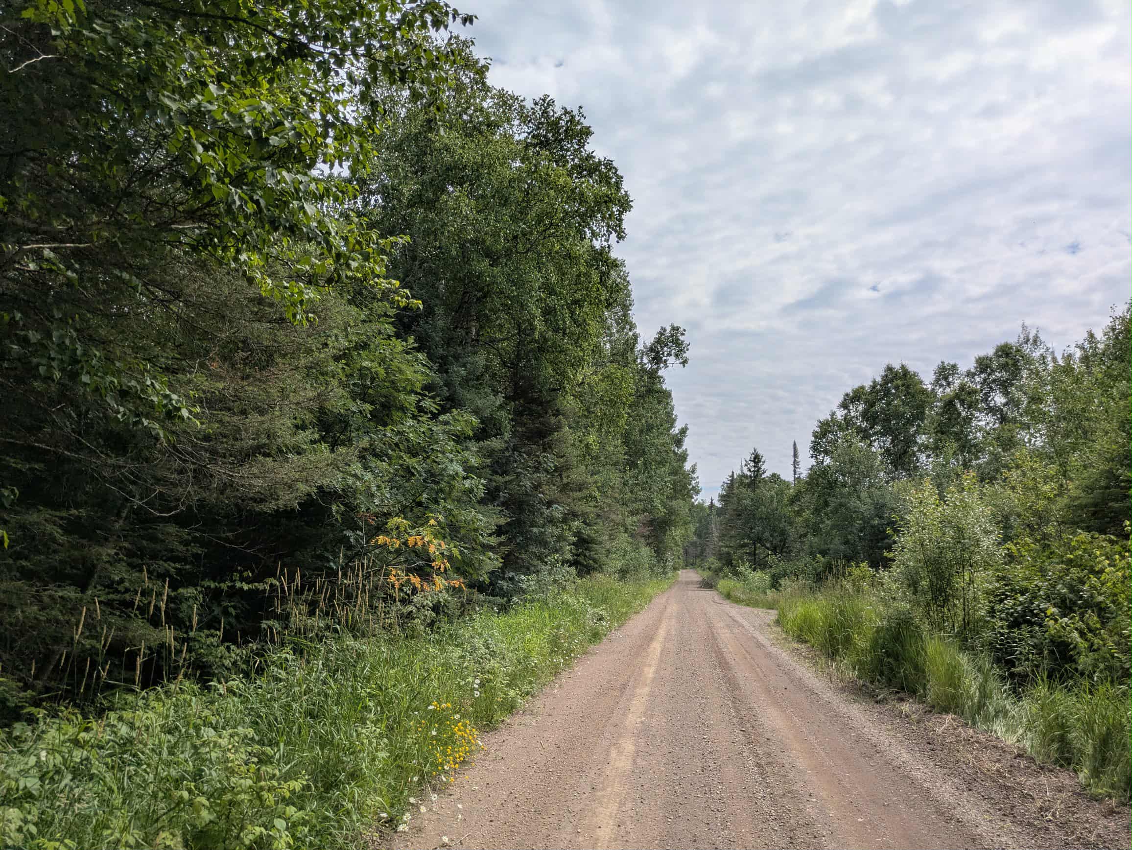
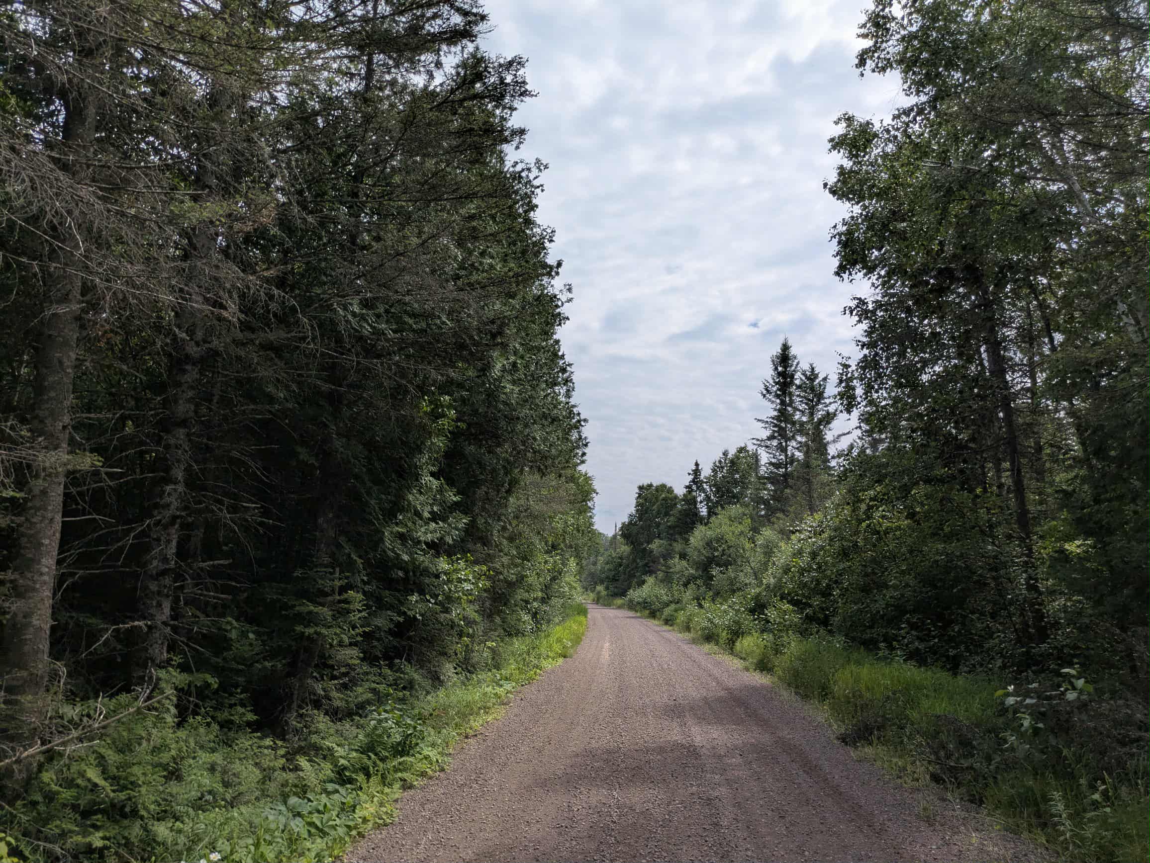
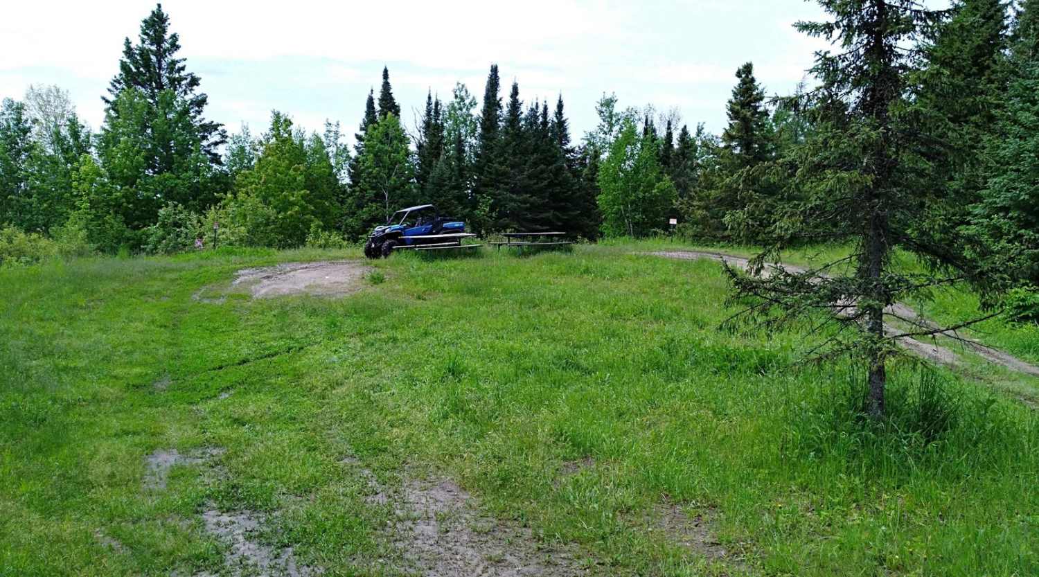
The Manitou trail is a well-maintained single-lane gravel road that winds steadily through forested terrain. It features gentle ascents and descents, with a few minor potholes scattered along the route, but overall provides a smooth and easy ride. This trail connects to the Prospectors Trail and is frequented by local riders, so it's worth staying alert for oncoming traffic, especially around bends and narrow stretches. Along the way, several small clearings could serve as pull-offs or short breaks, though they are not suitable for camping. A handful of spur trails branch off from the main route; some remain open and navigable, while others are heavily overgrown and difficult to access. While the trail offers a pleasant drive through the forest, it lacks any formal or informal camping areas and provides no services such as drinking water, trash disposal, or restrooms. Cell phone reception may be limited or unavailable depending on location.
Photos of Manitou Trail
Difficulty
This forest trail is well-maintained and used by residents and adventurers. The route is wide and clear of debris, with established tread and minimal overgrowth, making it ideal for a smooth and scenic drive.
Status Reports
Manitou Trail can be accessed by the following ride types:
- High-Clearance 4x4
- SUV
- SxS (60")
- ATV (50")
- Dirt Bike
Manitou Trail Map
Popular Trails
UPM Blandin Trail N


High Lake Road
Huntersville Eastern Loop
The onX Offroad Difference
onX Offroad combines trail photos, descriptions, difficulty ratings, width restrictions, seasonality, and more in a user-friendly interface. Available on all devices, with offline access and full compatibility with CarPlay and Android Auto. Discover what you’re missing today!