Gander Lake
Total Miles
1.2
Technical Rating
Best Time
Spring, Winter, Summer, Fall
Trail Type
Full-Width Road
Accessible By
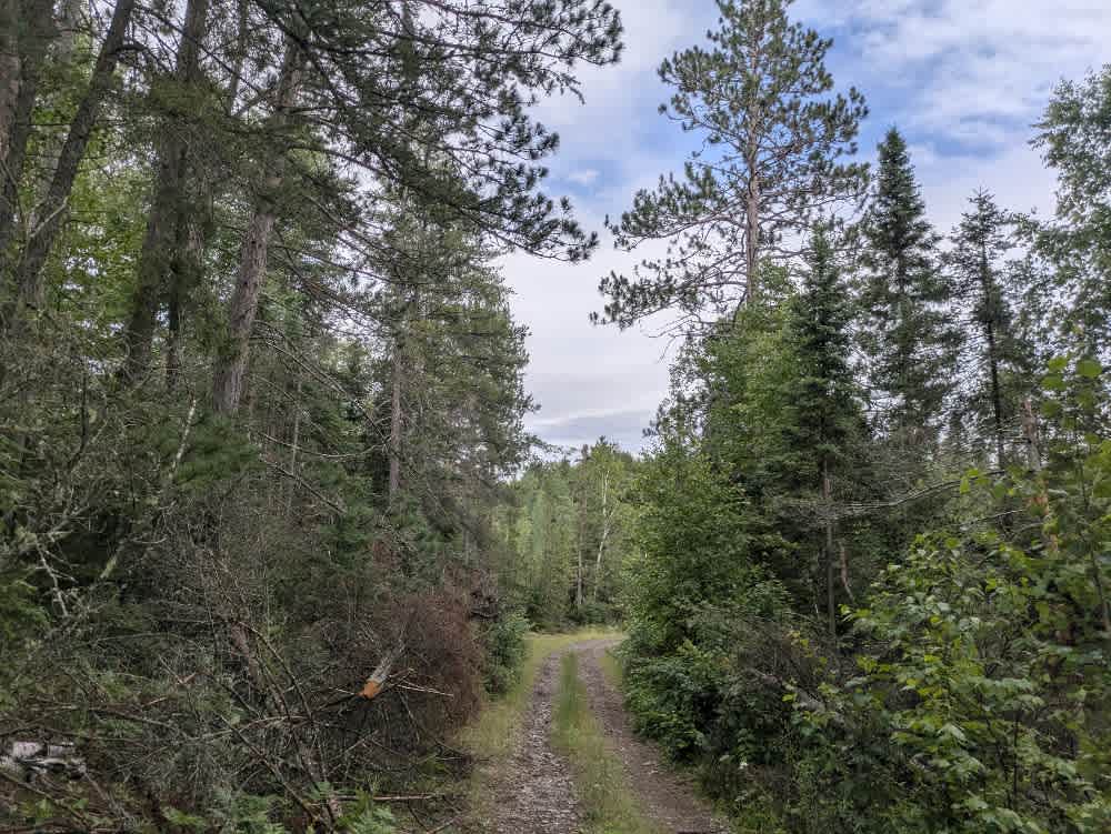
Trail Overview
This trail is primarily surfaced with fine gravel, though scattered rocks make for a somewhat bumpy ride. The trail is heavily overgrown in places, which may result in pinstriping, but it remains navigable and offers an enjoyable drive for those equipped for narrower paths. The route winds through forested terrain with occasional ascents and descents, and some areas can become muddy depending on recent weather. Along the way, two footpaths lead down to the lake, as well as a larger clearing with direct lake access that may be appropriate for dispersed camping. About two-thirds of the way in, the trail passes through a short section of mature pine forest, offering a brief but distinct change in scenery. While the trail provides access to the lake and some quiet natural areas, it lacks any formal campsites, amenities, or services, and cell coverage may be limited.
Photos of Gander Lake

Difficulty
This forested route is lightly maintained and typically sees use during peak seasons. Expect occasional fallen limbs, narrowing sections from plant growth, and minor obstacles.
Status Reports
Gander Lake can be accessed by the following ride types:
- High-Clearance 4x4
- SUV
- SxS (60")
- ATV (50")
Gander Lake Map
Popular Trails

Cloquet Line


Deep Water Lake

The onX Offroad Difference
onX Offroad combines trail photos, descriptions, difficulty ratings, width restrictions, seasonality, and more in a user-friendly interface. Available on all devices, with offline access and full compatibility with CarPlay and Android Auto. Discover what you’re missing today!