McDougal Lake
Total Miles
4.9
Technical Rating
Best Time
Spring, Summer, Fall, Winter
Trail Type
Full-Width Road
Accessible By
Trail Overview
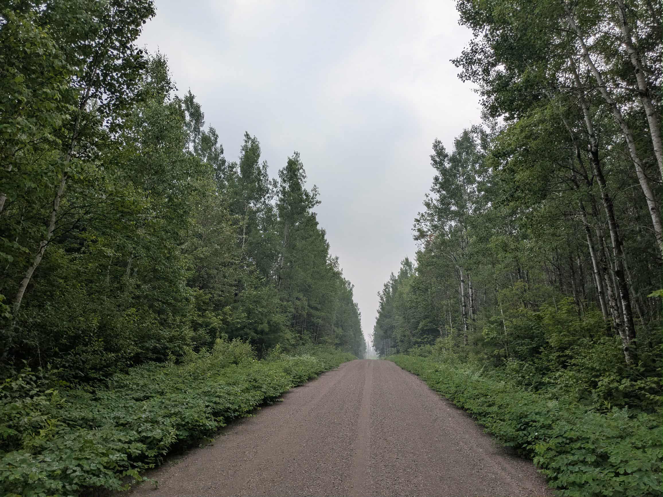
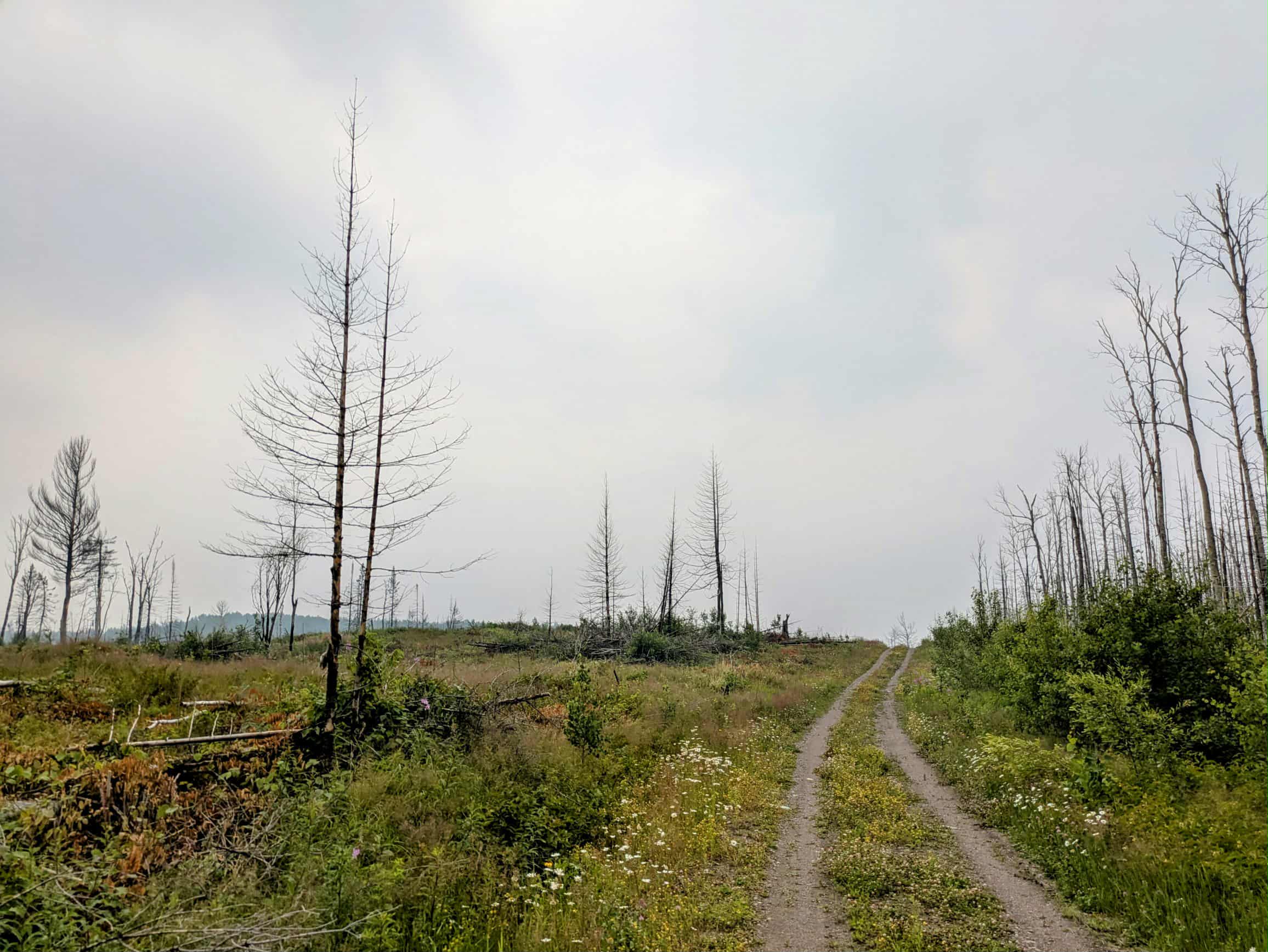
This trail begins as a well-maintained gravel road that winds past the McDougal Lake Campground and a few private residences located near the lake. While the initial stretch is in good condition, it is heavily corrugated from regular use. Public access to the lake along the trail is limited, with the campground being the only access point. As the trail continues, it travels through forested areas and crosses a small bridge before reaching several clearings. Beyond this point, there is noticeable fire damage in the surrounding forest, and a lone house sits near the burn area. After passing the house, the trail narrows considerably and the surface becomes rougher. The trail continues to a large open area with further signs of fire damage. Here, the gravel is relatively smooth before the trail re-enters the forest. In this section, numerous trees have fallen across the route, and some may need to be cut to proceed. There are a few narrow, overgrown side trails along the way, but most are not passable by larger vehicles. The trail eventually ends at a spacious clearing that may be suitable for dispersed camping. Dispersed camping is generally permitted within Lake Superior National Forest, provided it is outside the Boundary Waters Canoe Area Wilderness. There are no developed amenities along the trail--no toilets, water sources, or trash bins--and cell service may be limited or unavailable. Campers should follow Leave No Trace principles.
Photos of McDougal Lake
Difficulty
This forested route is lightly maintained and typically sees use during peak seasons. Expect occasional fallen limbs, narrowing sections from plant growth, and minor obstacles.
Status Reports
McDougal Lake can be accessed by the following ride types:
- High-Clearance 4x4
- SUV
- SxS (60")
- ATV (50")
- Dirt Bike
McDougal Lake Map
Popular Trails

Ketchum Road Northwest to Cass Lake


Osborn Road

North of Outing on the A Trail
The onX Offroad Difference
onX Offroad combines trail photos, descriptions, difficulty ratings, width restrictions, seasonality, and more in a user-friendly interface. Available on all devices, with offline access and full compatibility with CarPlay and Android Auto. Discover what you’re missing today!