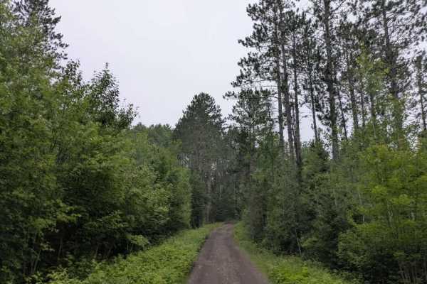
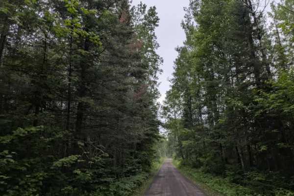
Trail Overview
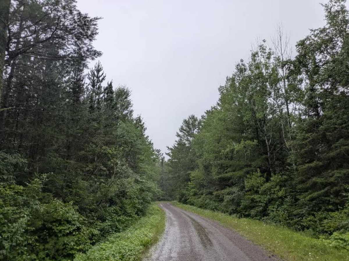
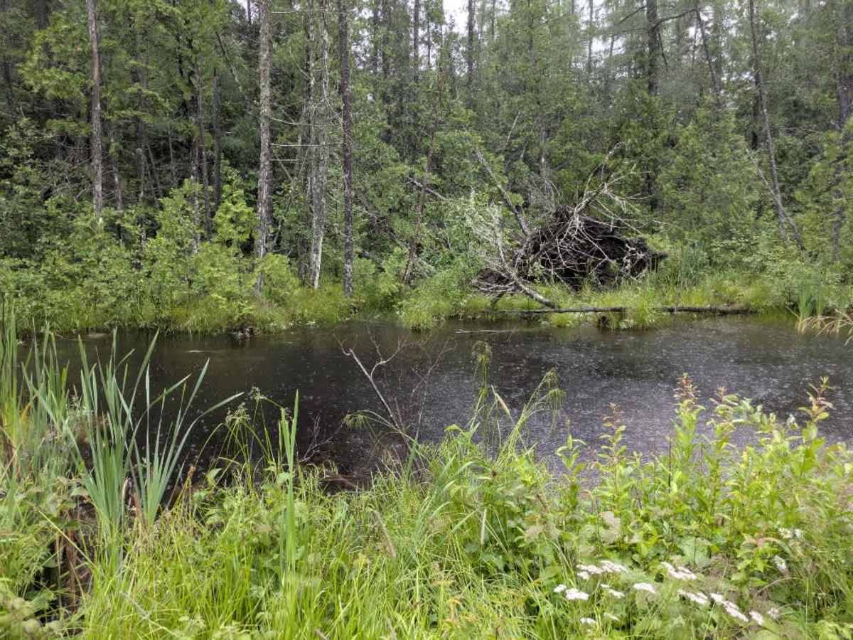
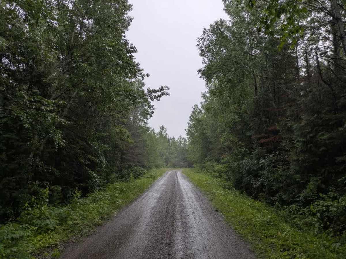
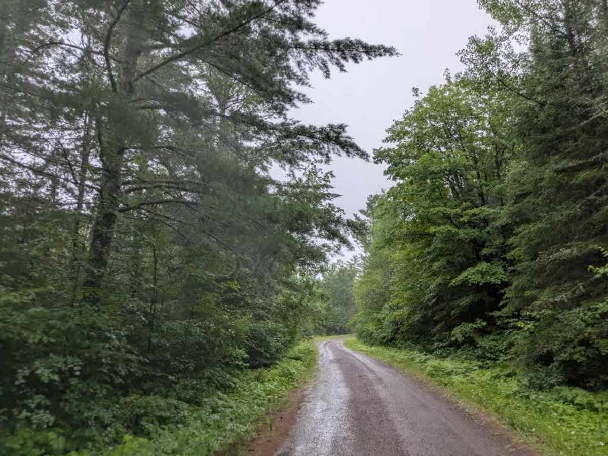
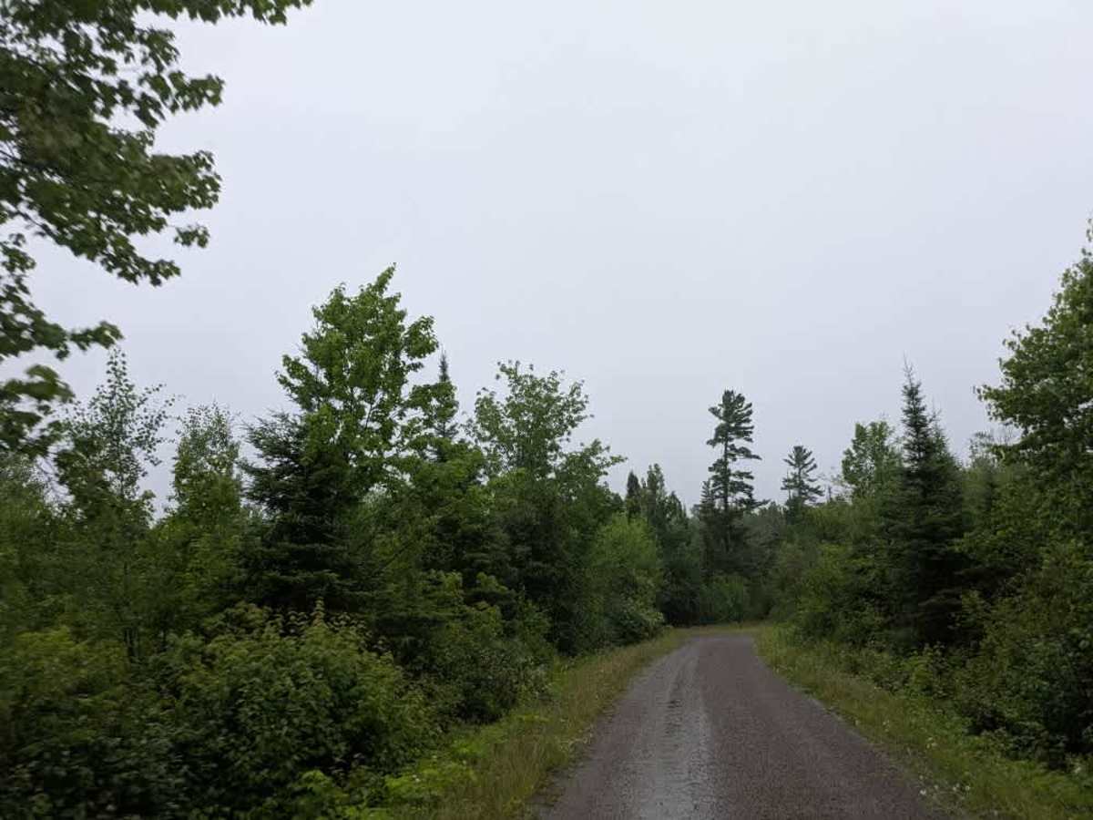
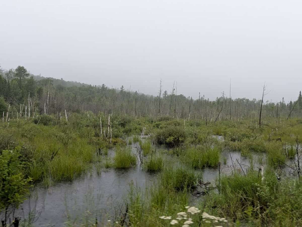
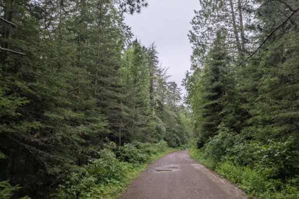
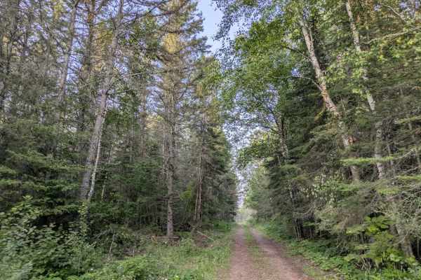
This trail runs between Clara Lake Road and Tait Lake and is closed to ATV use. It is a well-maintained, red and brown gravel road that winds through a dense forest, with a generally smooth surface occasionally broken by mild corrugations. The trail features gentle ascents and descents, and drivers should be cautious of local traffic. Along the way, the route passes several small lakes, adding to the scenic value of the drive. A few narrower, overgrown trails branch off the main route; these are more suitable for side-by-sides and may not be easily passable by larger vehicles. The trail eventually leads to a boat launch at Tait Lake, where a parking area and toilet facilities are available. A sign at the site clearly indicates that camping is not allowed in the parking area. There are no formal or dispersed campsites along the trail itself, and the area lacks services such as trash bins and potable water. Cell service may be limited.
Difficulty
This forest trail is well-maintained and used daily by residents and adventurers. The route is wide and clear of debris, with established tread and minimal overgrowth—ideal for a smooth and scenic drive.