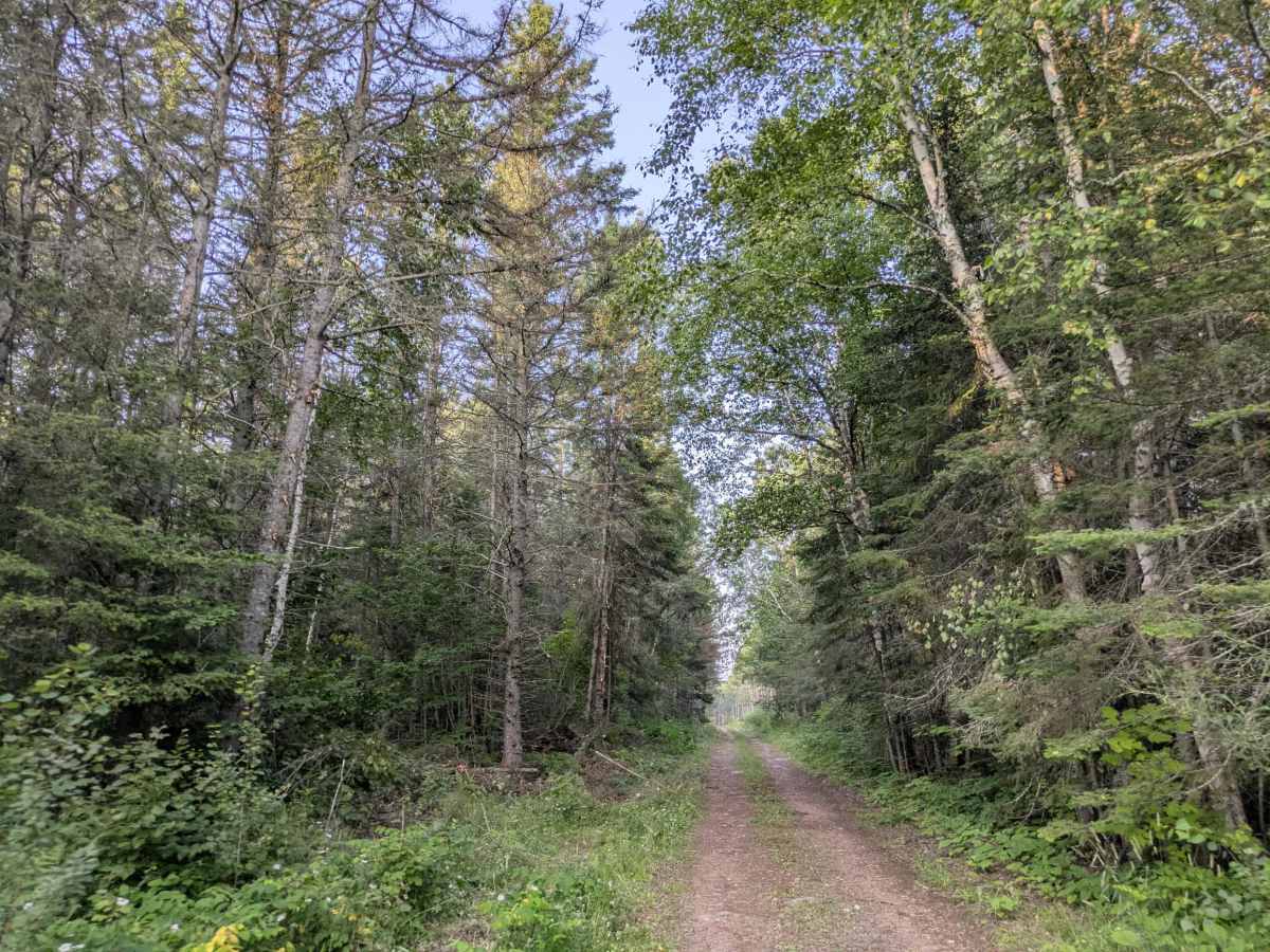
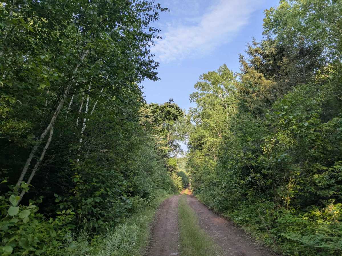
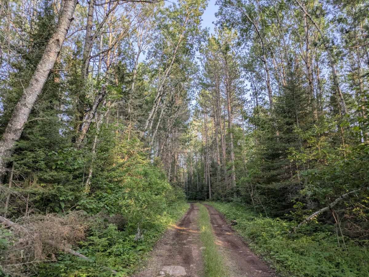
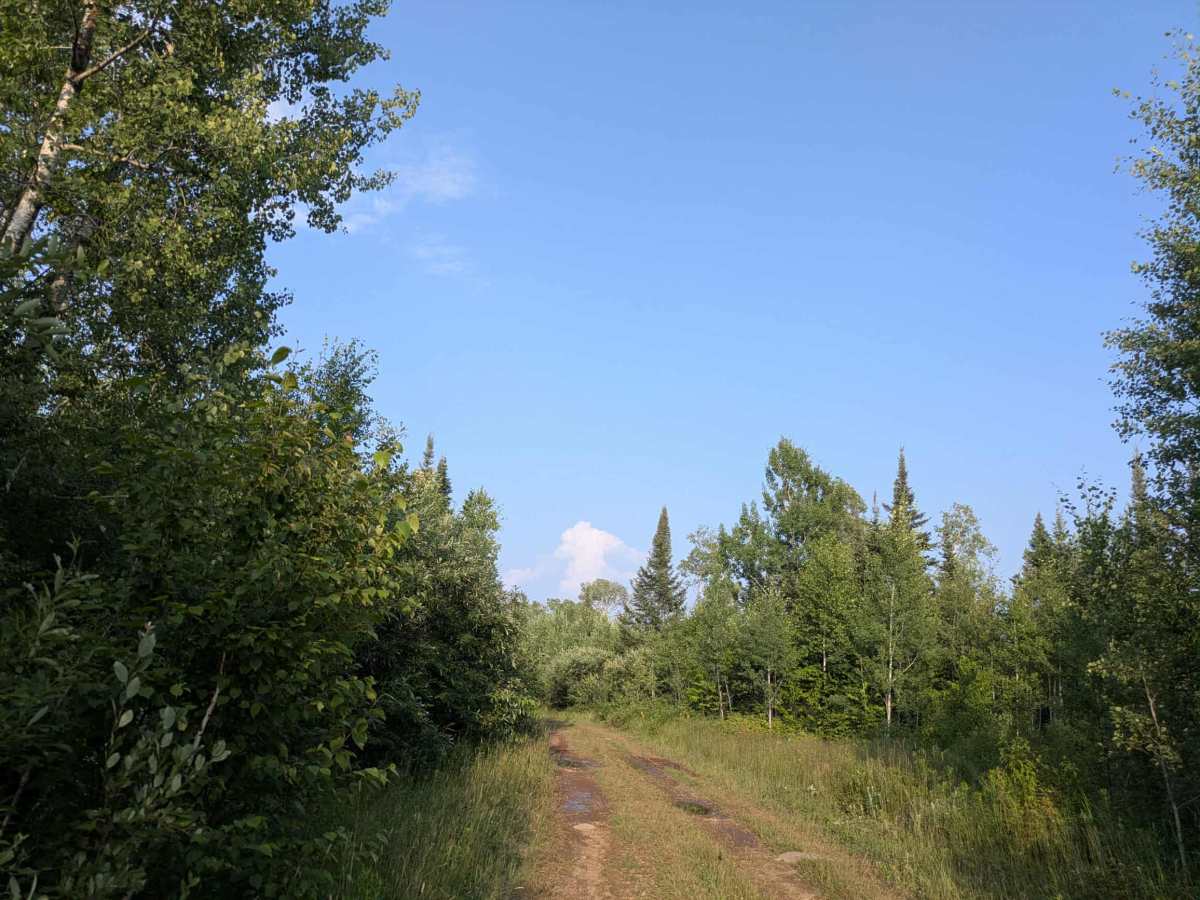
Mark Lake

Total Miles 6.8
Technical Rating
2 Easy
Best Time Spring, Summer, Fall, Winter
Trail Type Full-Width Road
Accessible By
Open Trail Map

Trail Overview

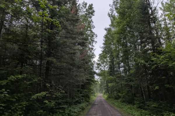
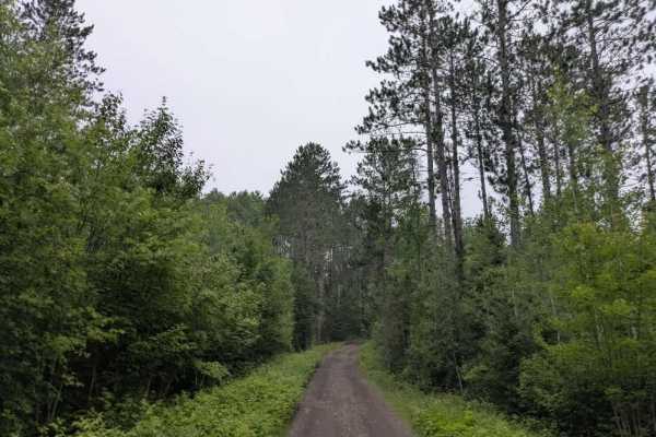
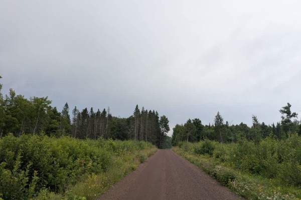
This trail begins as a narrow, overgrown two-track that winds through dense forest. The trail is frequently waterlogged, with deep potholes and large muddy puddles dominating much of the route, particularly in the first half. There are no side trails and very few opportunities to turn around early on, which may pose a challenge for larger vehicles. The trail eventually reaches a lake that has overflowed across the route. The drainage pipe intended to manage this water is dislodged, resulting in standing water that should be approached with caution. It is advisable to walk through the flooded section before attempting to drive through it, as deep mud pits may be hidden beneath the surface. After passing the lake, the trail begins to climb and shows signs of recent use by tracked vehicles. The road becomes slightly wider and less saturated but remains bumpy and muddy all the way to its end in an active logging area. There are no designated or dispersed campsites along the trail, and visitors should not expect amenities such as trash bins or water sources. Cell reception may be limited throughout.

Photos of Mark Lake

Difficulty

This forested route is lightly maintained and is typically used during peak seasons. Expect occasional fallen limbs, narrowing sections from plant growth, and minor obstacles.

Technical Rating

2

Status Reports

Add Status Report
Will O.
Jun 13, 2026
Open
The trail is passable between the Caribou Trail and Cascade River Road. The area by the beaver dam, which had high water in past years, was just a few large puddles, roughly 6-inches deep. The Eastern section of the trail is wide open as it was logged last year. The Western section is more closed in, with pinstripes likely in a few spots. There are some rutted sections that are muddy, so I'd be cautious after a period of heavy rain, but otherwise it's a fun trail that wanders through the forest. The side trail to Mark Lake is narrow with a decent sized rock and stump making for a bit of a challenge. There was is room for two vehicles by the lake, maybe three if everyone cooperates.

Mark Lake Trail can be accessed by the following ride types:

  • Single Track
  • 50 Inch
  • 60 Inch
  • High Clearance
  • Full Width

Mark Lake Map

The onX Offroad Difference

onX Offroad combines trail photos, descriptions, difficulty ratings, width restrictions, seasonality, and more in a user-friendly interface. Available on all devices, with offline access and full compatibility with CarPlay and Android Auto. Discover what you're missing today!

Open Trail Map