Forest Service Road 493B
Total Miles
1.8
Technical Rating
Best Time
Summer, Fall, Winter, Spring
Trail Type
Full-Width Road
Accessible By
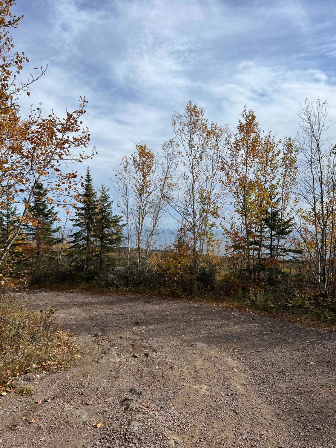
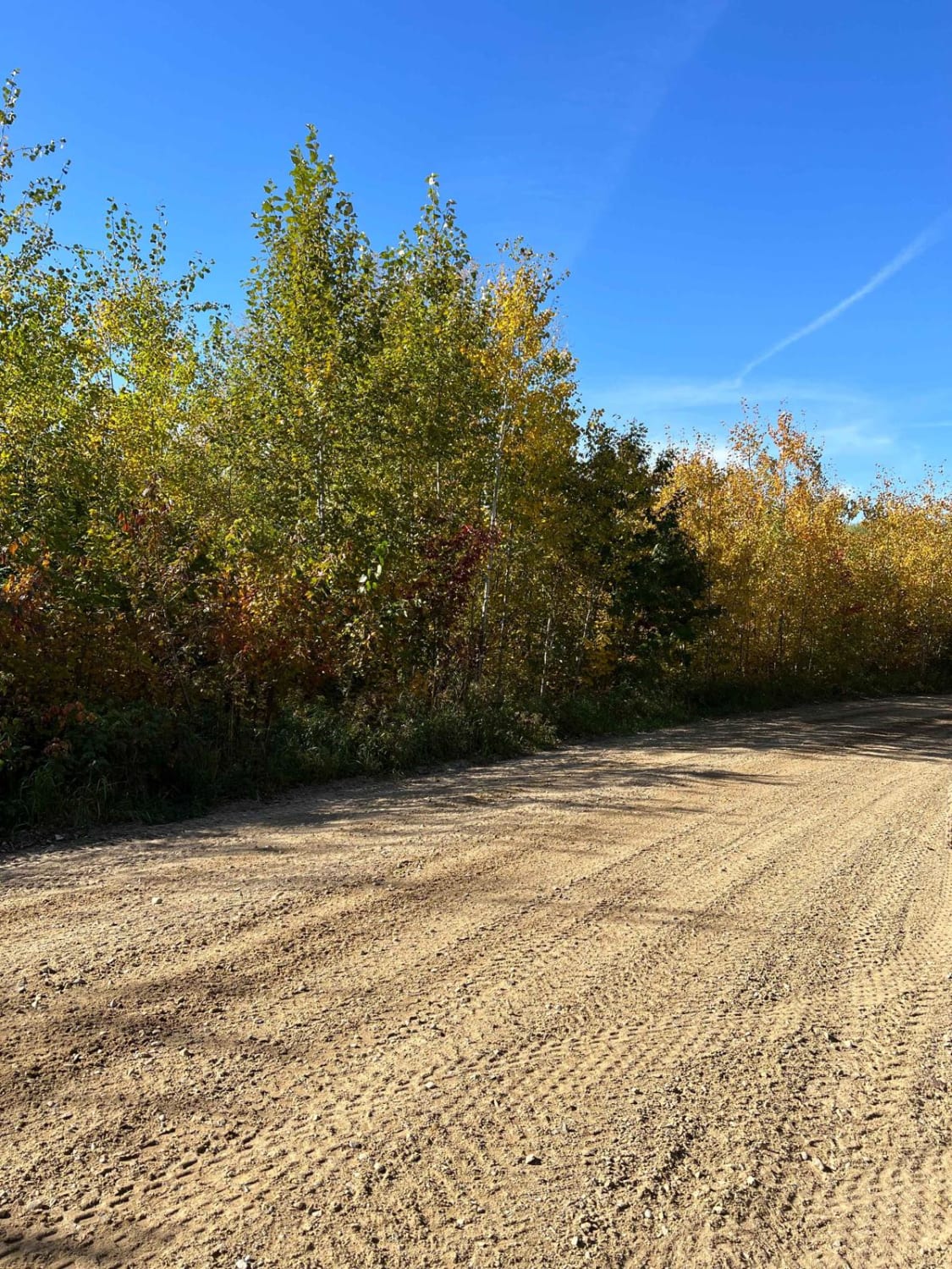
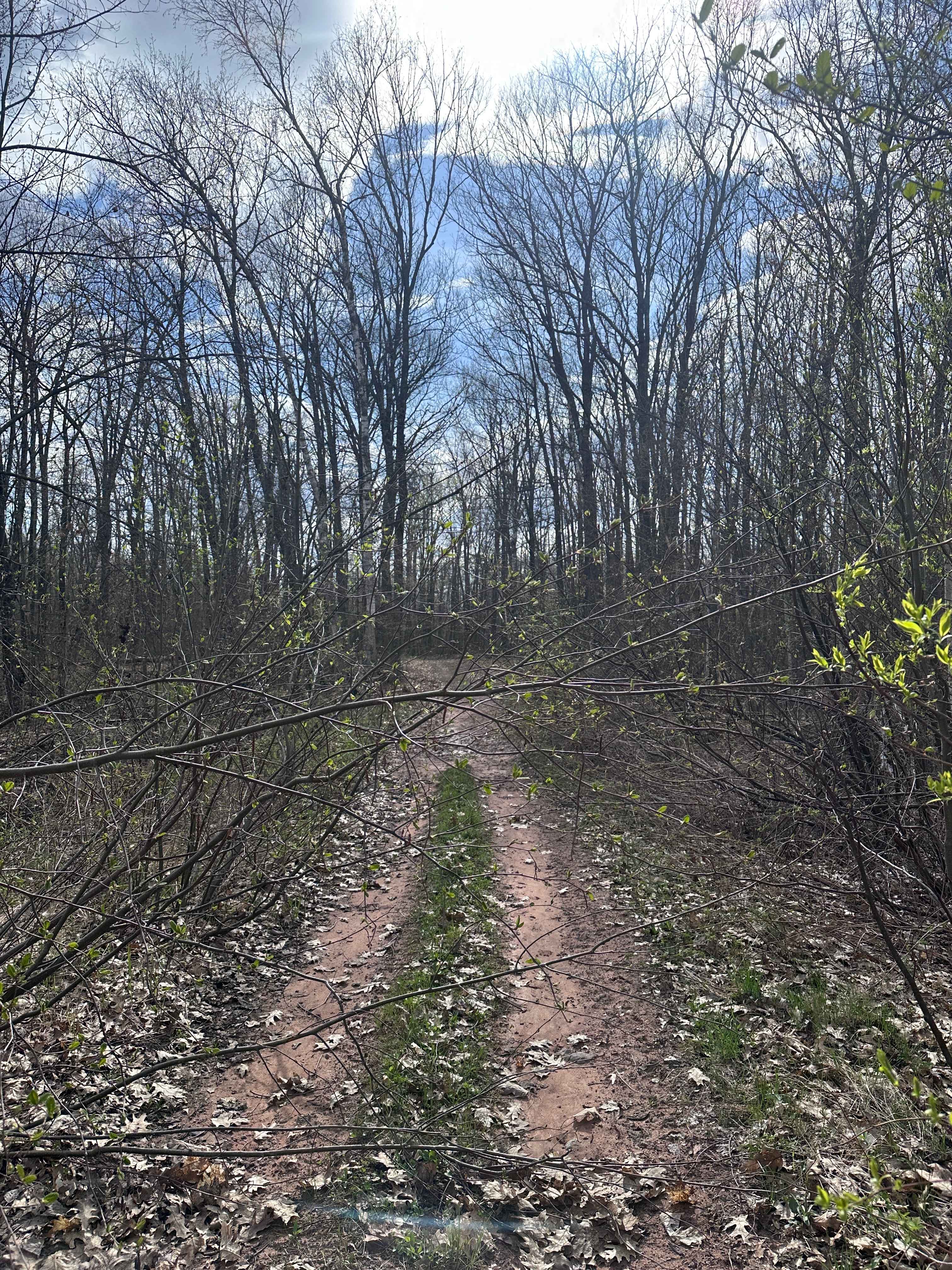
Trail Overview
This trail is a mostly single-vehicle-width gravel route that winds through a forested landscape with a mix of moderate ascents and descents. Primarily used as a logging road, the surface is rocky and uneven, and conditions gradually worsen the farther you travel. The trail climbs to a modest viewpoint before descending into a valley where an ATV trail begins. At the bottom of the hill, there is a clearing that marks a transition to steeper terrain. Beyond this point, the trail becomes more challenging, with sustained rocky stretches and muddy patches that may be difficult to navigate in wet conditions. Several additional clearings are scattered along the route, but the trail eventually becomes fully overgrown and may be impassable depending on the season and maintenance activity. This route does not offer any formal or dispersed camping opportunities and lacks essential amenities such as trash disposal or access to water. Cell phone reception may be weak or unavailable in some areas.
Photos of Forest Service Road 493B


Difficulty
The trail is maintained but can develop light overgrowth between trims, especially in the summer months. Commonly used by local OHV traffic, the path remains visible and passable, though branches and low brush may occasionally encroach.
Status Reports
Forest Service Road 493B can be accessed by the following ride types:
- High-Clearance 4x4
- SUV
- SxS (60")
- ATV (50")
- Dirt Bike
Forest Service Road 493B Map
Popular Trails

Biondich Road
Temperance River Backroad Scenic Drive
Paul Bunyan Round River Dr
Abandoned Bog Trail
The onX Offroad Difference
onX Offroad combines trail photos, descriptions, difficulty ratings, width restrictions, seasonality, and more in a user-friendly interface. Available on all devices, with offline access and full compatibility with CarPlay and Android Auto. Discover what you’re missing today!