Figure 8 Connector
Total Miles
0.2
Technical Rating
Best Time
Spring, Summer, Fall
Trail Type
Full-Width Road
Accessible By
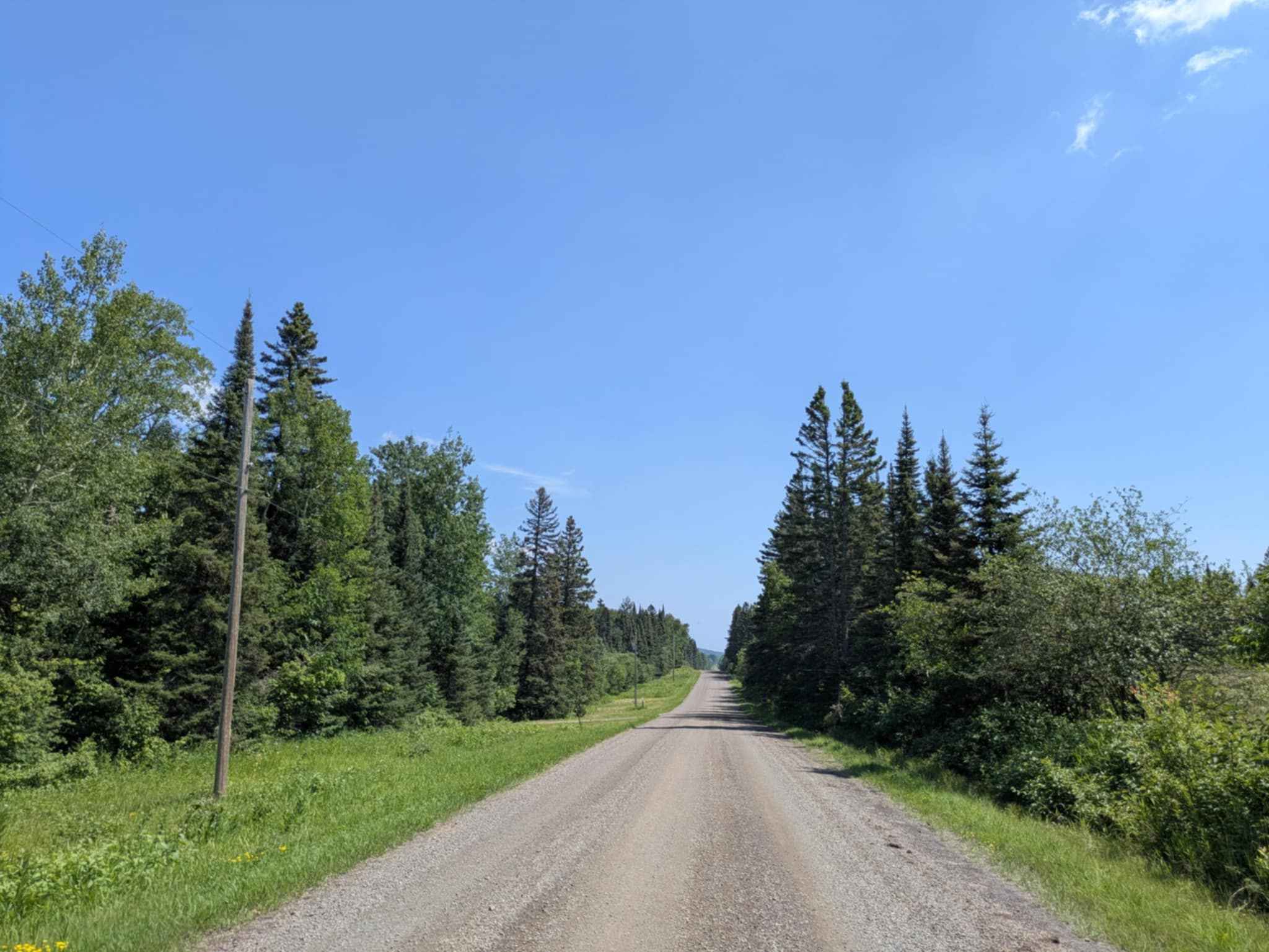
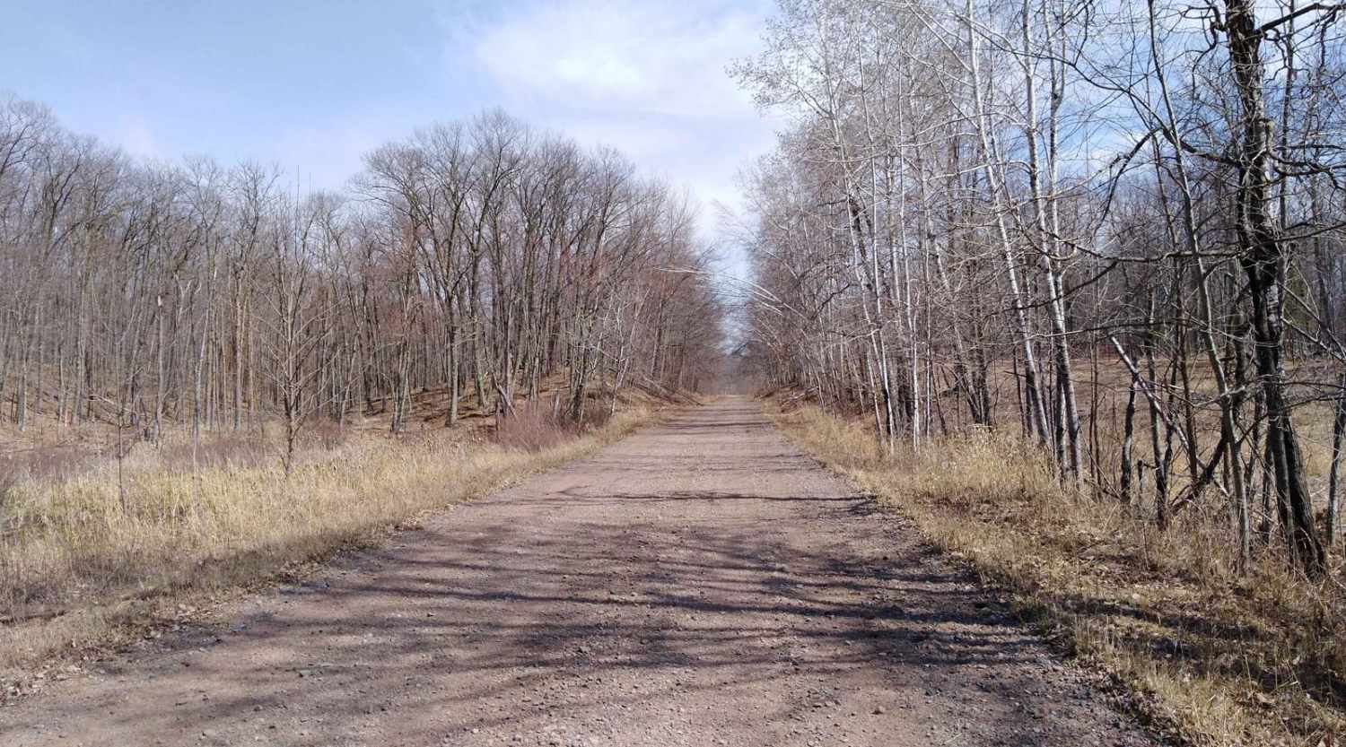
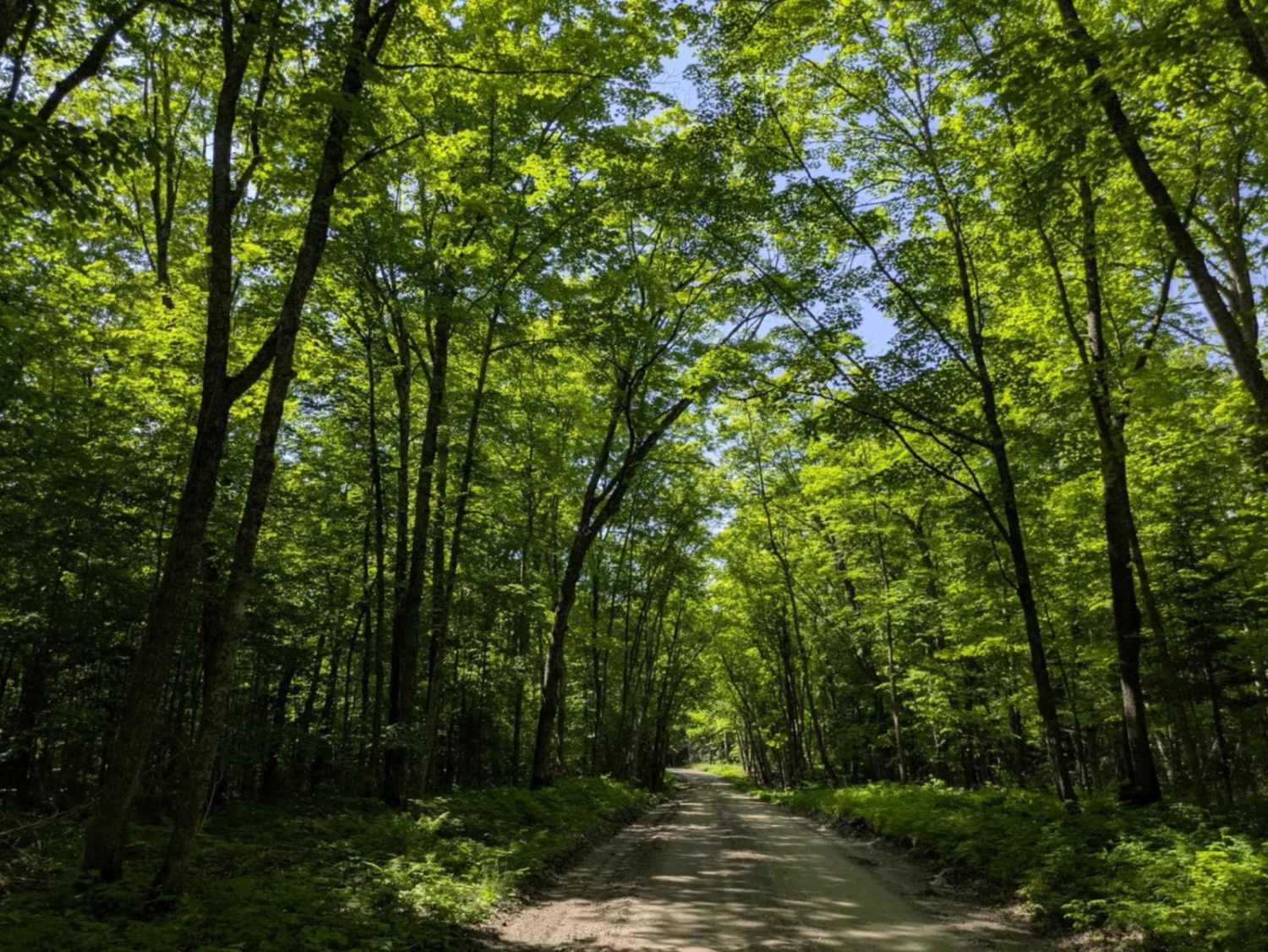
Trail Overview
This trail serves as a scenic loop that connects you to multiple trail entrances within the area, making it a convenient option for planning your next run or regrouping with your crew. The surface is a mix of dirt and rock, and while the route is considered easy, it can develop mud puddles after rainfall. One of the highlights of this loop is its proximity to the No Show Rock Crawl section, making it an excellent place to pull over, eat lunch, or simply hang out and watch other drivers tackle the obstacles. Whether you're taking a break or scouting your next trail, this loop offers both utility and a relaxing off-road vibe.
Photos of Figure 8 Connector


Difficulty
This is an easy, low-stress trail that's suitable for all skill levels and most vehicle setups. The dirt and rock base is generally smooth, making it ideal for stock rigs and casual cruisers. After rain, you may encounter a few shallow mud puddles, but nothing that should pose a problem with basic four-wheel-drive.
History
The Iron Range OHV Recreation Area was built on reclaimed mining land, once part of the rich Mesabi Iron Range that fueled U.S. steel production for over a century. Today, this 1,200+ acre site blends industrial history with outdoor adventure, offering a rare chance to ride through the remnants of Minnesota's mining legacy.
Status Reports
Figure 8 Connector can be accessed by the following ride types:
- High-Clearance 4x4
- SUV
- SxS (60")
- ATV (50")
- Dirt Bike
Figure 8 Connector Map
Popular Trails

Emily/Outing ATV Trail B (Crow Wing County)
County Road 60
Denham to Moose Lake
The onX Offroad Difference
onX Offroad combines trail photos, descriptions, difficulty ratings, width restrictions, seasonality, and more in a user-friendly interface. Available on all devices, with offline access and full compatibility with CarPlay and Android Auto. Discover what you’re missing today!