Emily/Outing ATV B Trail
Total Miles
11.7
Technical Rating
Best Time
Spring, Summer, Fall
Trail Type
60" Trail
Accessible By
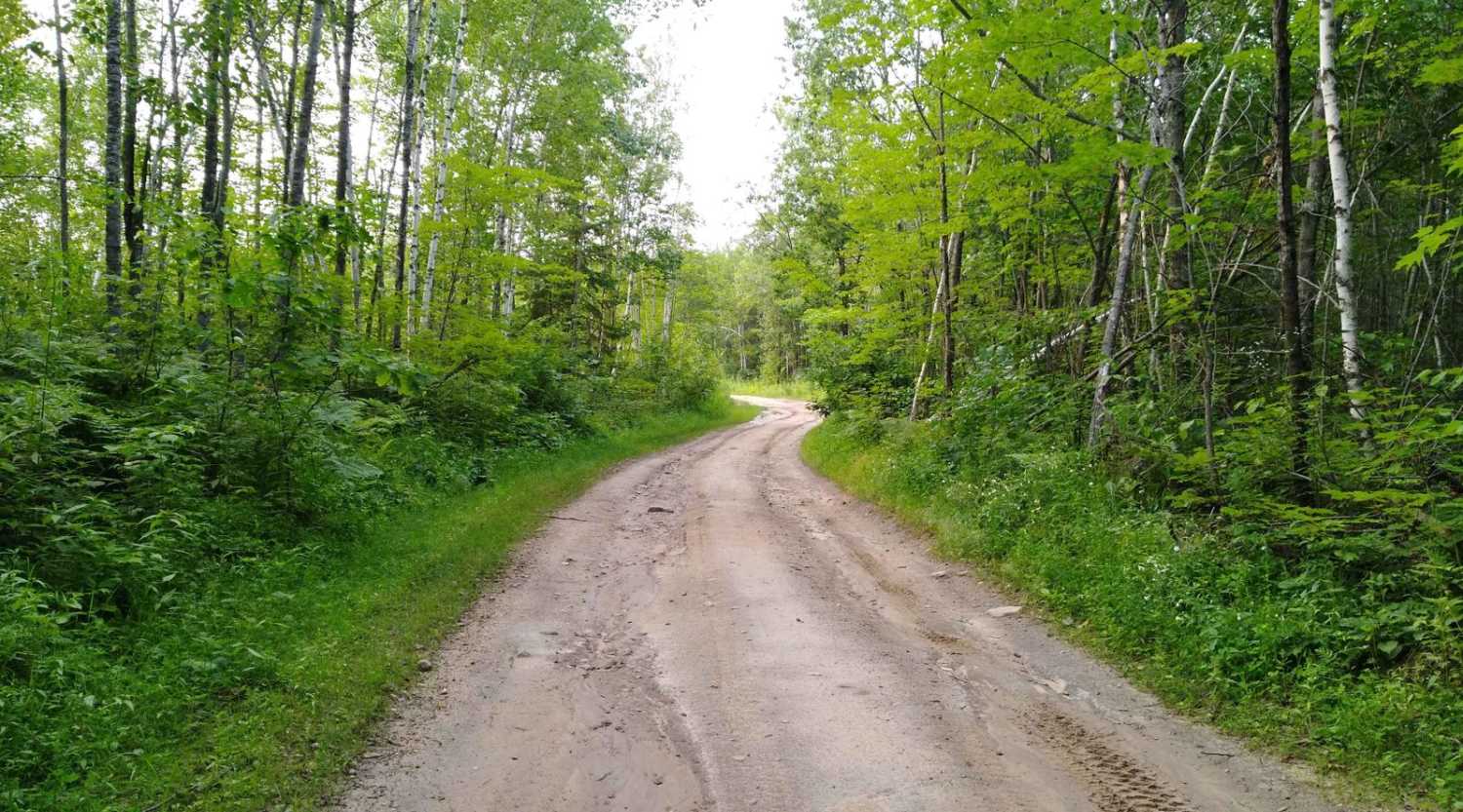
Trail Overview
Emily/Outing ATV B Trail is mapped from Cass County Road 58 near Egg Lake where the trail leaves the gravel and into the woods to A Trail intersection. This section is 11.7 miles long and takes about an hour with an average speed of 11.1 MPH including the time it took for trail pictures.
Photos of Emily/Outing ATV B Trail

Difficulty
This is an easy trail, some lowland areas have minor puddles but were no issue to cross when mapped. Trail width is the only reason for the difficulty rating of 2.
Status Reports
Emily/Outing ATV B Trail can be accessed by the following ride types:
- SxS (60")
- ATV (50")
Emily/Outing ATV B Trail Map
Popular Trails

Oman Road Northeast

County Road 127


The onX Offroad Difference
onX Offroad combines trail photos, descriptions, difficulty ratings, width restrictions, seasonality, and more in a user-friendly interface. Available on all devices, with offline access and full compatibility with CarPlay and Android Auto. Discover what you’re missing today!