121AA
Total Miles
1.8
Technical Rating
Best Time
Spring, Summer, Winter, Fall
Trail Type
Full-Width Road
Accessible By
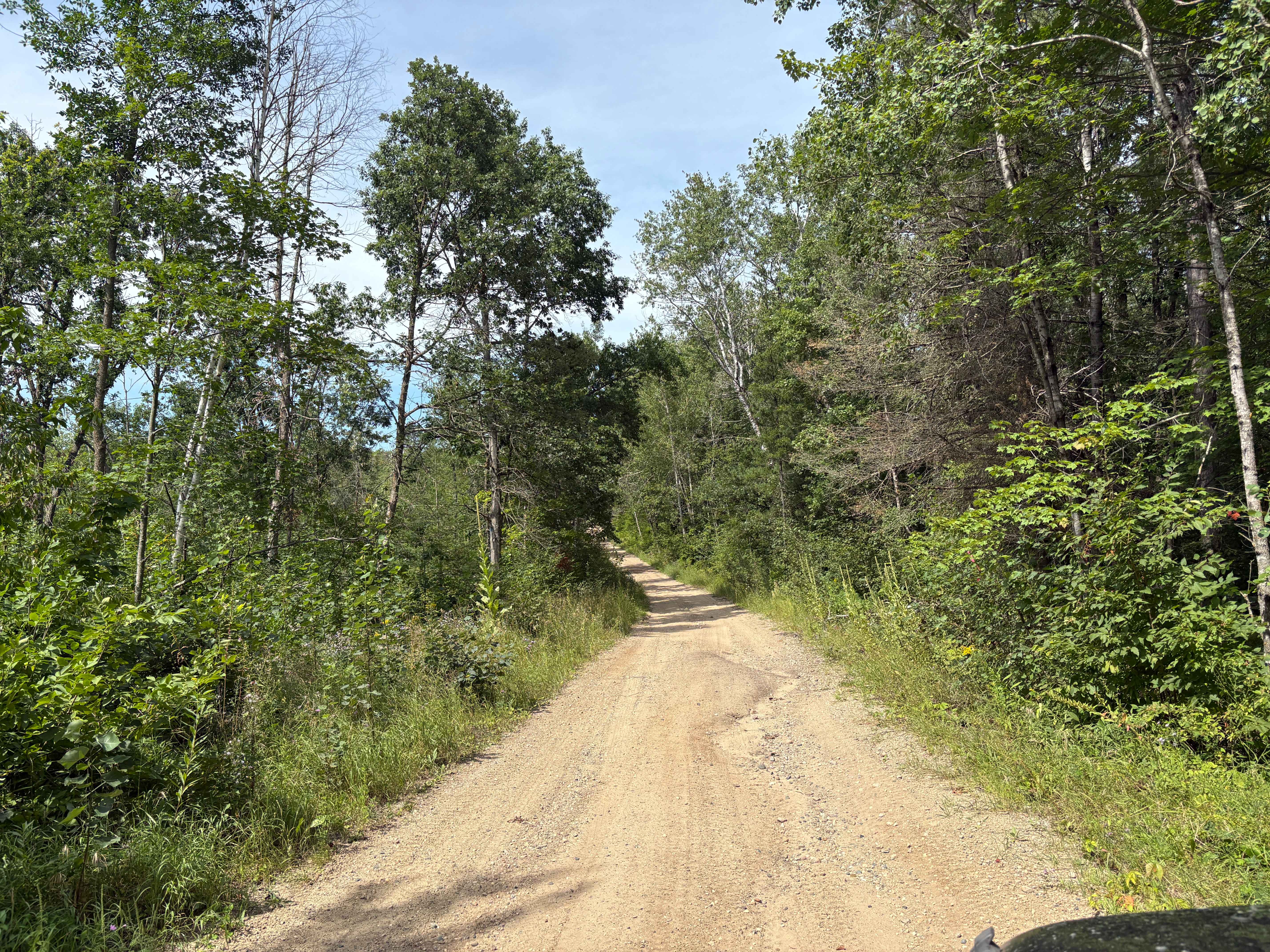
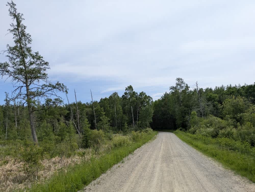
Trail Overview
This trail is accessed from Brimson Road and begins with a steady ascent before narrowing and becoming increasingly rough as it progresses deeper into the forest. The further you travel, the more overgrown the route becomes, with vegetation encroaching from both sides and the surface deteriorating into a mix of bumps, mud, and scattered rocks. At one point, the trail splits. The left fork is marked as a non-motorized route, while the right fork continues into a clearing with low brush that may be suitable for dispersed camping, although it offers limited shelter and level ground. Beyond the clearing, the trail re-enters the forest and becomes even more difficult to navigate. The path narrows further, the terrain grows more uneven, and several fallen trees block the way. This section is rarely traveled and is plagued by biting flies during the warmer months. There are no reliable places to turn around once you're in the forest, so without a chainsaw or a spotter, reversing out may be the only option if progress is halted.There are no formal campsites along this route, and no amenities are available--no water sources, trash bins, or toilets. Cell service is likely to be unreliable or entirely absent depending on your location. Dispersed camping is generally permitted in the Superior National Forest, provided you remain outside the Boundary Waters Canoe Area Wilderness, though it's wise to confirm current regulations with local authorities before setting up camp. As always, visitors should be fully prepared and follow Leave No Trace principles to minimize environmental impact.
Photos of 121AA


Difficulty
This trail is not maintained and is not regularly used by other users. The trail has overgrown sections with rocks and is generally unused, with debris on the trail.
History
Superior National Forest was established in 1909 by President Theodore Roosevelt to protect the region's watersheds and natural resources after years of heavy logging and mining. The area has long been home to the Ojibwe people, who continue to maintain cultural ties to the land. In 1978, the Boundary Waters Canoe Area Wilderness within the forest was given added protection, making it one of the most visited wilderness areas in the U.S. today.
Status Reports
121AA can be accessed by the following ride types:
- High-Clearance 4x4
- SUV
- SxS (60")
- ATV (50")
121AA Map
Popular Trails
South Tulaby Trail


West Branch Trail
The onX Offroad Difference
onX Offroad combines trail photos, descriptions, difficulty ratings, width restrictions, seasonality, and more in a user-friendly interface. Available on all devices, with offline access and full compatibility with CarPlay and Android Auto. Discover what you’re missing today!