County Road 50
Total Miles
5.1
Technical Rating
Best Time
Spring, Summer, Fall, Winter
Trail Type
Full-Width Road
Accessible By
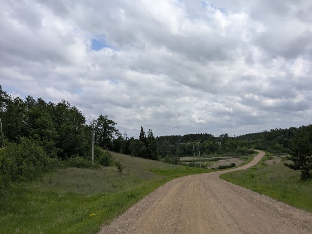
Trail Overview
This trail is a long and winding gravel route that is relatively well-maintained as it travels through a forested area. Running parallel to the main trail is a multi-use path designated for hiking, biking, and snowmobiling, which adds to the accessibility of the area. Despite the natural setting, there is a moderate amount of local traffic, so caution is advised. The trail eventually leads to a lake and provides access to the water, making it a pleasant destination. Along the way, a small take-one-leave-one library can be found beside the trail, a surprising feature considering the limited number of visible residences in the area. While the trail offers a mix of nature and small community touches, it does not provide any formal or dispersed campsites. Additionally, there are no services such as trash disposal or access to drinking water, and cell phone reception may be limited in parts of the trail.
Photos of County Road 50

Difficulty
This trail is well-maintained and regularly used by residents who reside in the area.
Status Reports
County Road 50 can be accessed by the following ride types:
- High-Clearance 4x4
- SUV
County Road 50 Map
Popular Trails

Indian Hill

Gunflint Narrows


County Road 146
The onX Offroad Difference
onX Offroad combines trail photos, descriptions, difficulty ratings, width restrictions, seasonality, and more in a user-friendly interface. Available on all devices, with offline access and full compatibility with CarPlay and Android Auto. Discover what you’re missing today!