Tomahawk Spur E
Total Miles
1.8
Technical Rating
Best Time
Spring, Summer, Fall
Trail Type
Full-Width Road
Accessible By
Trail Overview
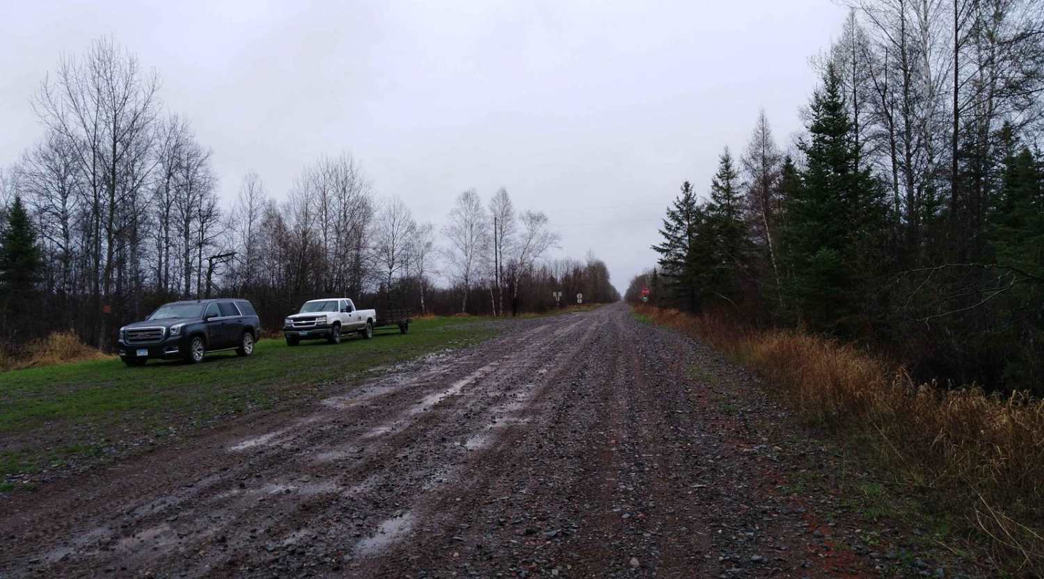
This trail is accessed from Tomahawk Trail and begins near a snowmobile trail located at the entrance. The route follows a gravel two-track that winds through forested terrain with gentle to moderate ascents and descents. In some areas, the trail becomes rocky but remains navigable for most vehicles. It passes through attractive stands of pine and maintains a quiet, natural setting. As the trail continues, it reaches a clearing where it intersects with an ATV trail branching off to the left. Along the way, there are a few small clearings that appear suitable for dispersed camping, although no formal campsites are present. Dispersed camping is generally permitted in the Superior National Forest outside of the Boundary Waters Canoe Area Wilderness, but it is always best to confirm with local authorities before setting up camp. The trail lacks amenities such as toilets, trash disposal, or potable water, and cell coverage may be limited or nonexistent.
Photos of Tomahawk Spur E


Difficulty
The trail is maintained but can develop light overgrowth between trims, especially in the summer months. Commonly used by local OHV traffic, the path remains visible and passable, though branches and low brush may occasionally encroach. This trail can be accessed by all vehicles between April 1st and November 30th.
Status Reports
Tomahawk Spur E can be accessed by the following ride types:
- High-Clearance 4x4
- SUV
- SxS (60")
- ATV (50")
- Dirt Bike
Tomahawk Spur E Map
Popular Trails

Greenwood Lake Road - FS 309
Nemadji to County Road 3

Birch Lake Access Road

62nd Avenue Northeast
The onX Offroad Difference
onX Offroad combines trail photos, descriptions, difficulty ratings, width restrictions, seasonality, and more in a user-friendly interface. Available on all devices, with offline access and full compatibility with CarPlay and Android Auto. Discover what you’re missing today!