Caribou Trail
Total Miles
3.0
Technical Rating
Best Time
Spring, Fall, Winter, Summer
Trail Type
Full-Width Road
Accessible By
Trail Overview
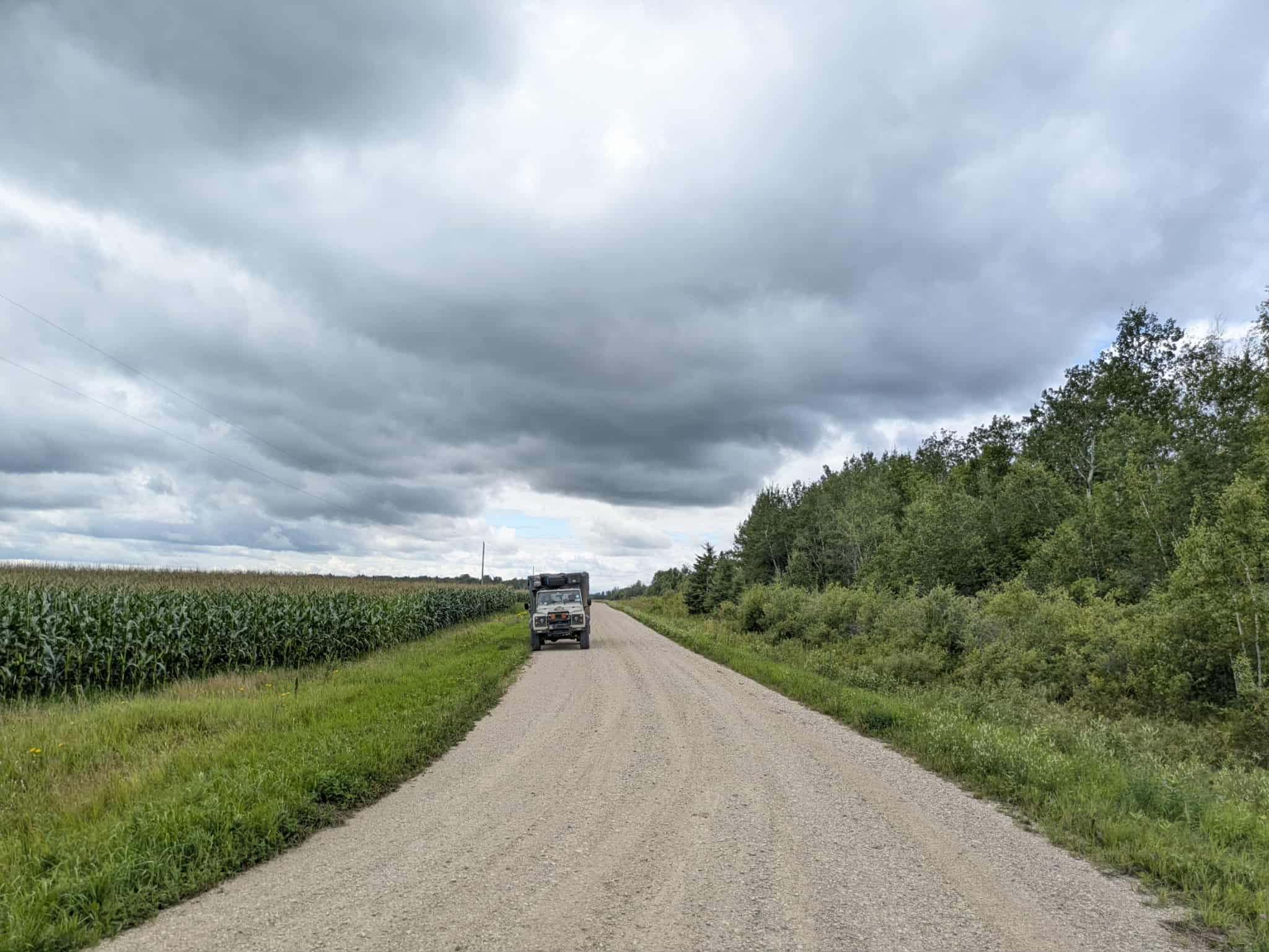
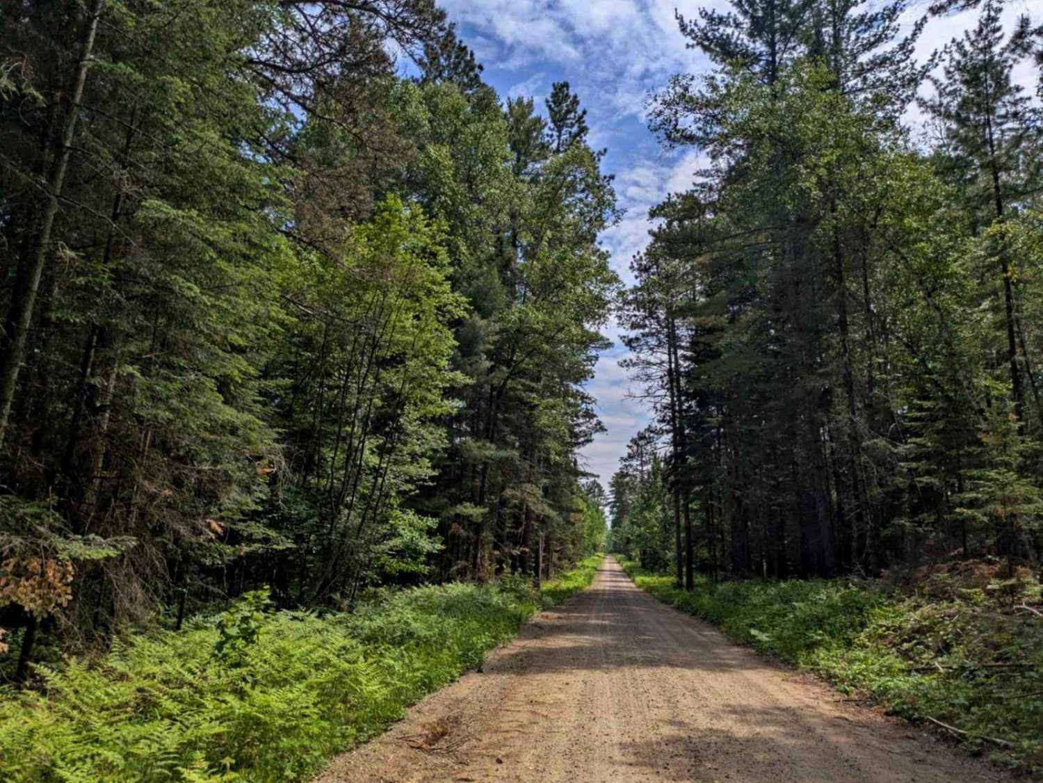
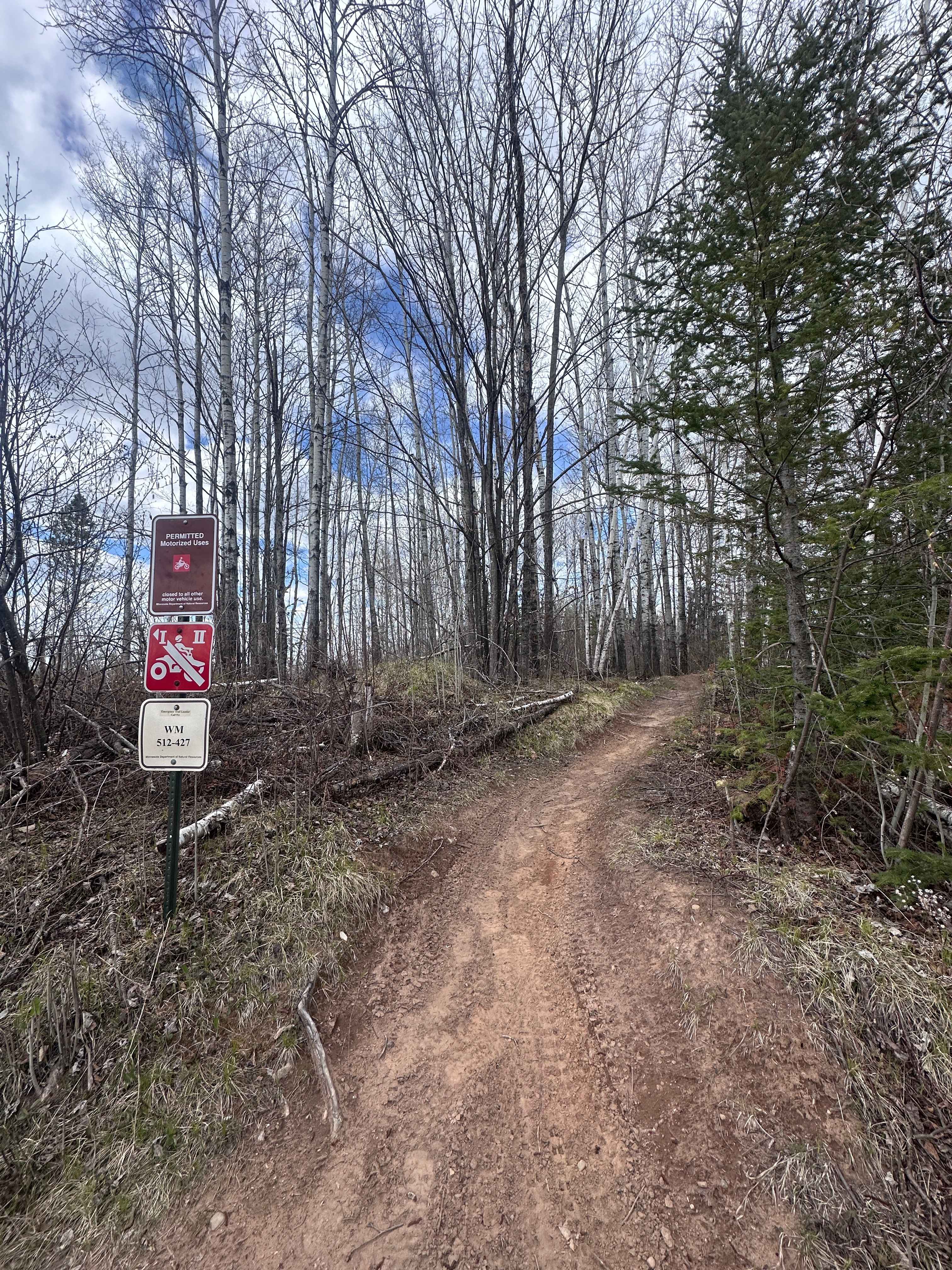
The Caribou trail begins as a wide, well-maintained gravel road but soon branches to the left into a narrower two-track that winds through dense forest. This portion of the trail features a mix of ascents and descents and is marked by frequent potholes, making for a somewhat rougher drive. Along the way, there are several clearings where logging has recently occurred, opening up views otherwise obscured by trees. Numerous non-motorized trails intersect the route, most of them designated for foot traffic, skiing, or biking. At the end of the trail, users will encounter an intersection. The trail to the left is closed to motorized vehicles, with signage warning of a maximum fine of $5,000 for violations. The right-hand spur leads to private residences and should be approached with caution. There are no formal campsites along the route, and amenities such as trash disposal or potable water are not available. Cell service may be limited or unavailable.
Photos of Caribou Trail


Difficulty
The trail is maintained but can develop light overgrowth between trims, especially in the winter months. Commonly used by local OHV traffic, the path remains visible and passable, though branches and low brush may occasionally encroach.
Status Reports
Caribou Trail can be accessed by the following ride types:
- High-Clearance 4x4
- SUV
- SxS (60")
- ATV (50")
- Dirt Bike
Caribou Trail Map
Popular Trails
120th Street
County Road 335

County Road 18
Harlis Bypass
The onX Offroad Difference
onX Offroad combines trail photos, descriptions, difficulty ratings, width restrictions, seasonality, and more in a user-friendly interface. Available on all devices, with offline access and full compatibility with CarPlay and Android Auto. Discover what you’re missing today!