County Road 128
Total Miles
3.8
Technical Rating
Best Time
Spring, Summer, Fall, Winter
Trail Type
Full-Width Road
Accessible By
Trail Overview
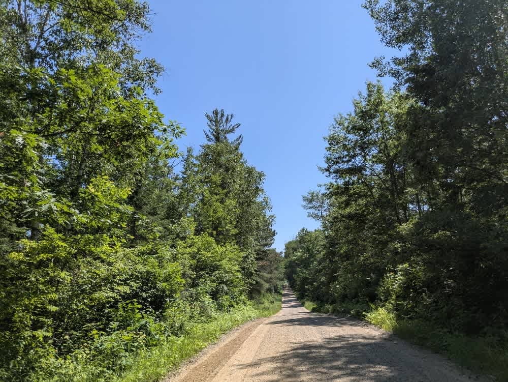
This trail offers a scenic drive through forested terrain as it gradually descends toward a lakeshore. The surface is wide, smooth gravel, and well-maintained, making for an easy and pleasant ride. Winding gently through the trees, the trail eventually reaches a lake with public boat access. Several private residences are located along this section, so it's important to drive respectfully and at a controlled speed. As the trail continues, it passes a small wetland area and a few open clearings. One notable feature along the route is an elm planting site, where forestry crews are often at work. Visitors should be mindful of any equipment or workers using the trail in this area. The route concludes at a junction with the paved State Highway 200. There are no formal or dispersed campsites along this trail, and it does not offer services such as water or trash disposal. Cell phone reception may be unreliable in some parts of the trail.
Photos of County Road 128

Difficulty
This trail is maintained and regularly used by OHV users, so be cautious of other off-roaders and adventurers.
History
Covering more than 1.6 million acres of glacial lakes, red-pine uplands, and sphagnum bogs, Minnesota's Chippewa National Forest lets motorists experience the North Woods at an unrushed pace. Paved state highways soon yield to a lattice of numbered forest roads, most of them well-graded gravel that thread between kettle ponds and stands of towering white pine, the tree that helped earn the forest its 1908 designation as one of America's first national forests. The forest harbors one of the highest breeding densities of bald eagles in the continental United States, and patient drivers often glimpse loons, black bears, and white-tailed deer as they move from shoreline to clear-cut regrowth and back again.
Status Reports
County Road 128 can be accessed by the following ride types:
- High-Clearance 4x4
- SUV
County Road 128 Map
Popular Trails


County Road 328


Shoepack Lake
The onX Offroad Difference
onX Offroad combines trail photos, descriptions, difficulty ratings, width restrictions, seasonality, and more in a user-friendly interface. Available on all devices, with offline access and full compatibility with CarPlay and Android Auto. Discover what you’re missing today!