FS 2153
Total Miles
7.0
Technical Rating
Best Time
Spring, Summer, Fall, Winter
Trail Type
Full-Width Road
Accessible By
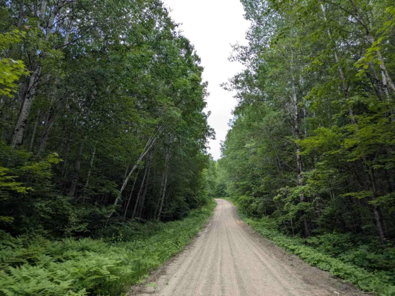
Trail Overview
This trail is designated for highway-legal vehicles only and stretches for a considerable distance through forested terrain. It is relatively well-maintained overall. The trail begins as a straight section where Western Painted Turtles are often seen crossing, then becomes more winding with a series of ascents and descents toward the middle and end. The surface includes bumpy and rocky areas, and after rain, sections of the trail can become muddy, puddled, and quite slippery. There are no formal or dispersed campsites along the route, and no amenities such as trash disposal or water supply. Cell service may be limited in some areas.
Photos of FS 2153

Difficulty
This trail is well-maintained and regularly used by residents who reside in the area.
History
Covering more than 1.6 million acres of glacial lakes, red-pine uplands, and sphagnum bogs, Minnesota's Chippewa National Forest lets motorists experience the North Woods at an unrushed pace. Paved state highways soon yield to a lattice of numbered forest roads, most of them well-graded gravel that thread between kettle ponds and stands of towering white pine, the tree that helped earn the forest its 1908 designation as one of America's first national forests. The forest harbors one of the highest breeding densities of bald eagles in the continental United States, and patient drivers often glimpse loons, black bears, and white-tailed deer as they move from shoreline to clear-cut regrowth and back again.
Status Reports
FS 2153 can be accessed by the following ride types:
- High-Clearance 4x4
- SUV
FS 2153 Map
Popular Trails

Lindskog Road

Forest Service Road 1006

Parking & Wash Road

Andrusia Road Northeast
The onX Offroad Difference
onX Offroad combines trail photos, descriptions, difficulty ratings, width restrictions, seasonality, and more in a user-friendly interface. Available on all devices, with offline access and full compatibility with CarPlay and Android Auto. Discover what you’re missing today!