Pennington Truck Trail
Total Miles
5.0
Technical Rating
Best Time
Summer, Fall, Winter, Spring
Trail Type
Full-Width Road
Accessible By
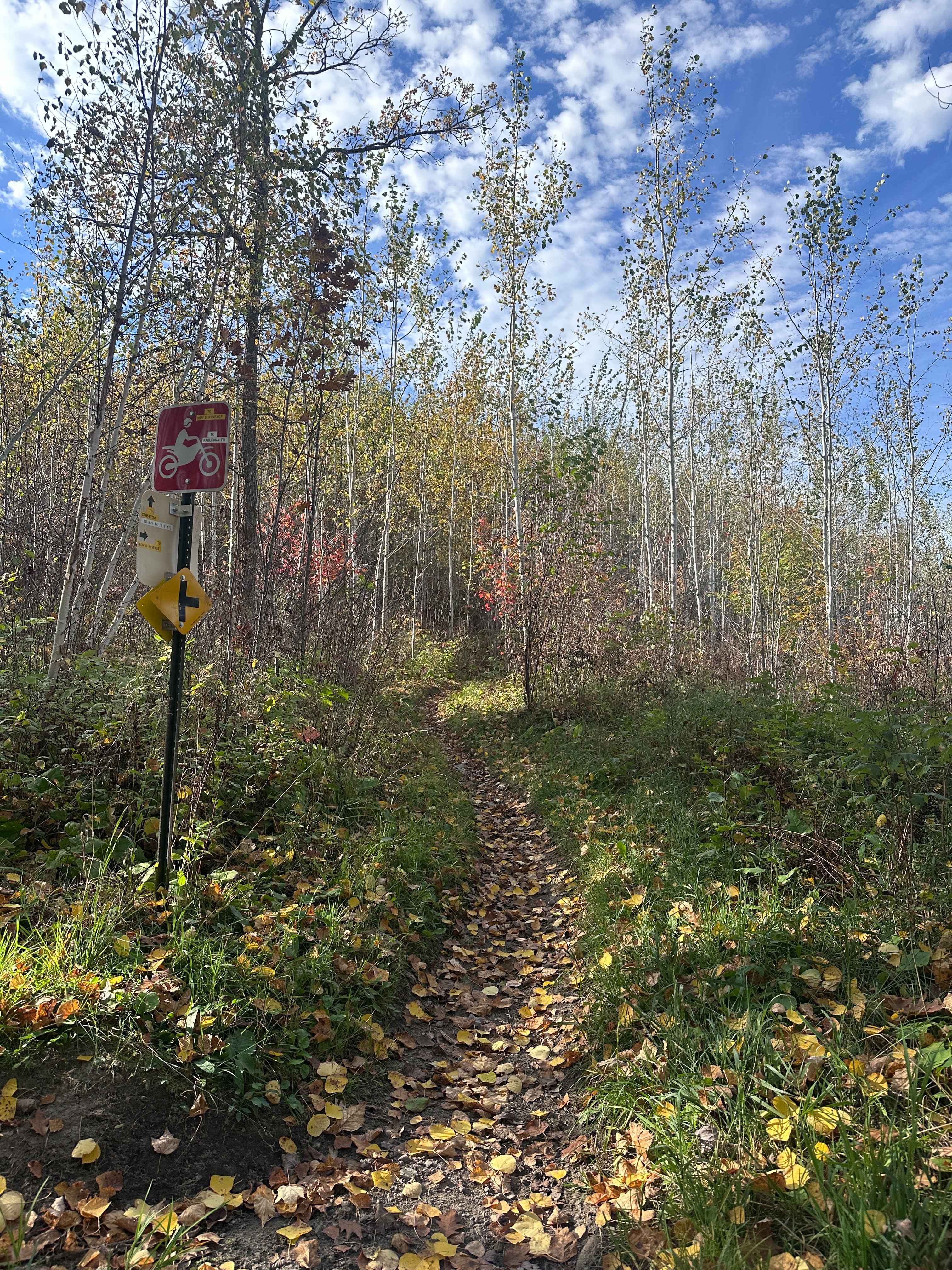
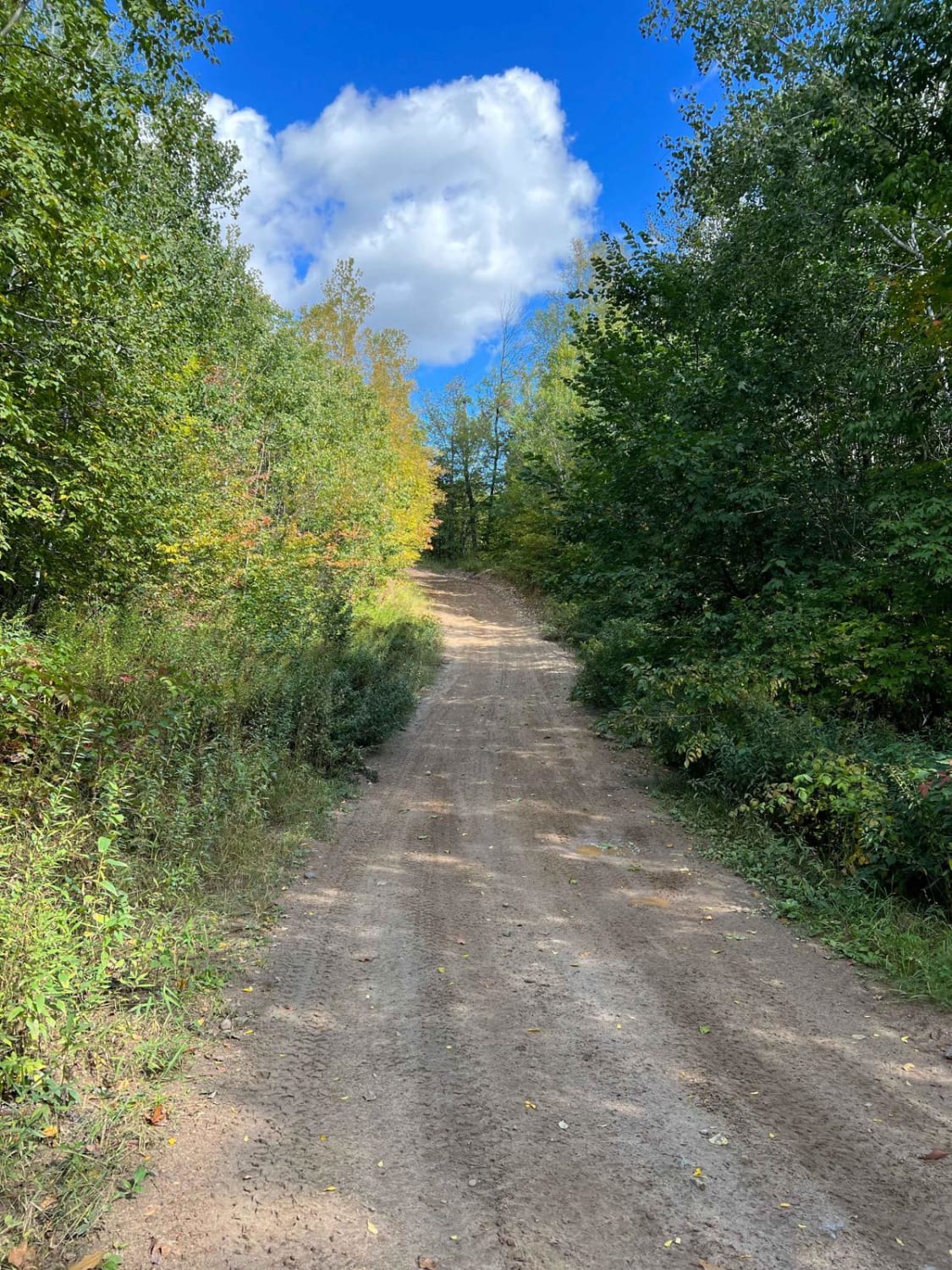
Trail Overview
This trail is buttery smooth, well-maintained fine gravel that may become muddy after or during heavy rain. There are a few gentle curves, ascents, and descents under a forest canopy so thick that you can sometimes see only patches of sky. A few trails split off from the main route, and a dispersed campsite may be available depending on the season. The trail crosses a bridge and would be great fun in a SxS or ATV. It lacks amenities, but cell service may be available.
Photos of Pennington Truck Trail


Difficulty
This trail is well-maintained and used regularly by OHV users, so be watchful of other offroaders and adventurers.
History
Covering more than 1.6 million acres of glacial lakes, red-pine uplands, and sphagnum bogs, Minnesota's Chippewa National Forest lets motorists experience the North Woods at an unrushed pace. Paved state highways soon yield to a lattice of numbered forest roads, most of them well-graded gravel that thread between kettle ponds and stands of towering white pine, the tree that helped earn the forest its 1908 designation as one of America's first national forests. The forest harbors one of the highest breeding densities of bald eagles in the continental United States, and patient drivers often glimpse loons, black bears, and white-tailed deer as they move from shoreline to clear-cut regrowth and back again.
Status Reports
Pennington Truck Trail can be accessed by the following ride types:
- High-Clearance 4x4
- SUV
- SxS (60")
- ATV (50")
- Dirt Bike
Pennington Truck Trail Map
Popular Trails

Pequaywan/Brimson Trail

Narrow Foothills Highway
The onX Offroad Difference
onX Offroad combines trail photos, descriptions, difficulty ratings, width restrictions, seasonality, and more in a user-friendly interface. Available on all devices, with offline access and full compatibility with CarPlay and Android Auto. Discover what you’re missing today!