Cass River Road Southeast
Total Miles
2.3
Technical Rating
Best Time
Spring, Summer, Winter, Fall
Trail Type
Full-Width Road
Accessible By
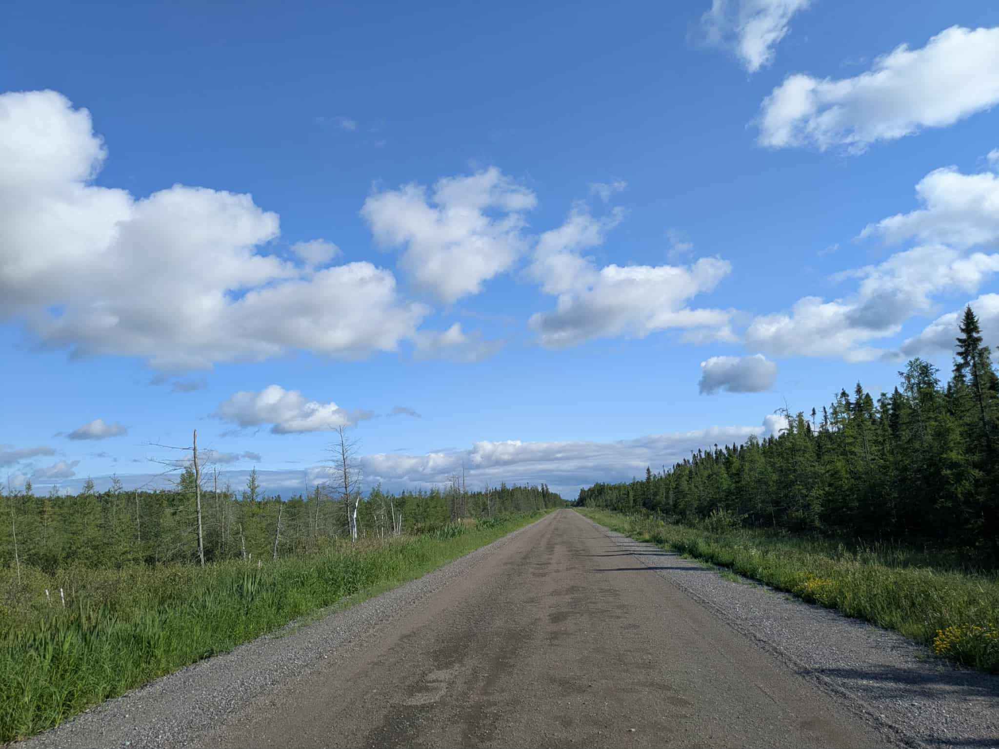
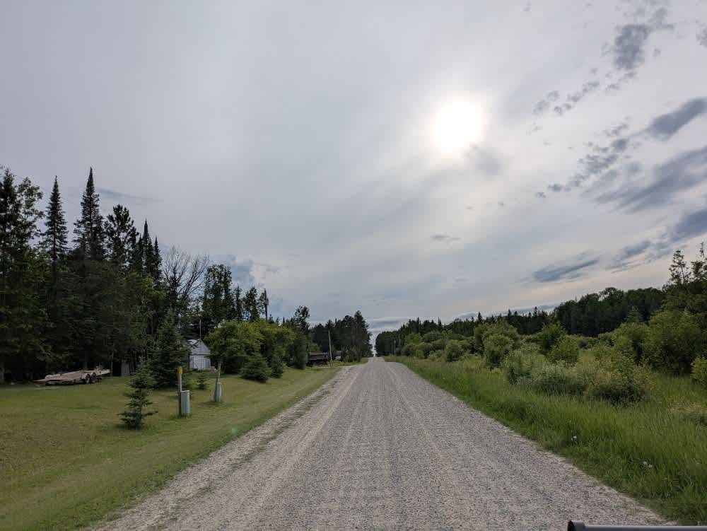
Trail Overview
This trail is accessed from a paved road near Knutsen Camp, a scenic campsite that was closed in August 2025 due to storm damage. From the entrance, the route runs through reservation land where extra caution is needed, particularly because children may be present. The trail alternates between single and double-vehicle width and is generally well-maintained, though the surface can be bumpy in places. The route passes through dense forest that comes close to the trail's edge, creating a corridor-like feel as it continues mostly straight. A few side trails branch off from the main route, many of which are better suited to smaller vehicles such as side-by-sides and ATVs due to their narrow and rough condition. The main trail eventually reaches a paved path that provides a clear turnaround. This trail does not offer dispersed or formal campsites and lacks amenities such as trash disposal and water supply. Cell phone service may be limited along much of the route, so travelers should prepare accordingly.
Photos of Cass River Road Southeast


Difficulty
This forest trail is well-maintained and used daily by residents and adventurers. The route is wide and clear of debris, with established tread and minimal overgrowth, making it ideal for a smooth and scenic drive.
Status Reports
Cass River Road Southeast can be accessed by the following ride types:
- High-Clearance 4x4
- SUV
Cass River Road Southeast Map
Popular Trails

Bemis Hills Forest Road

Caribou Trail
The onX Offroad Difference
onX Offroad combines trail photos, descriptions, difficulty ratings, width restrictions, seasonality, and more in a user-friendly interface. Available on all devices, with offline access and full compatibility with CarPlay and Android Auto. Discover what you’re missing today!