Beaver Farm
Total Miles
2.0
Technical Rating
Best Time
Spring, Summer, Winter, Fall
Trail Type
Full-Width Road
Accessible By
Trail Overview
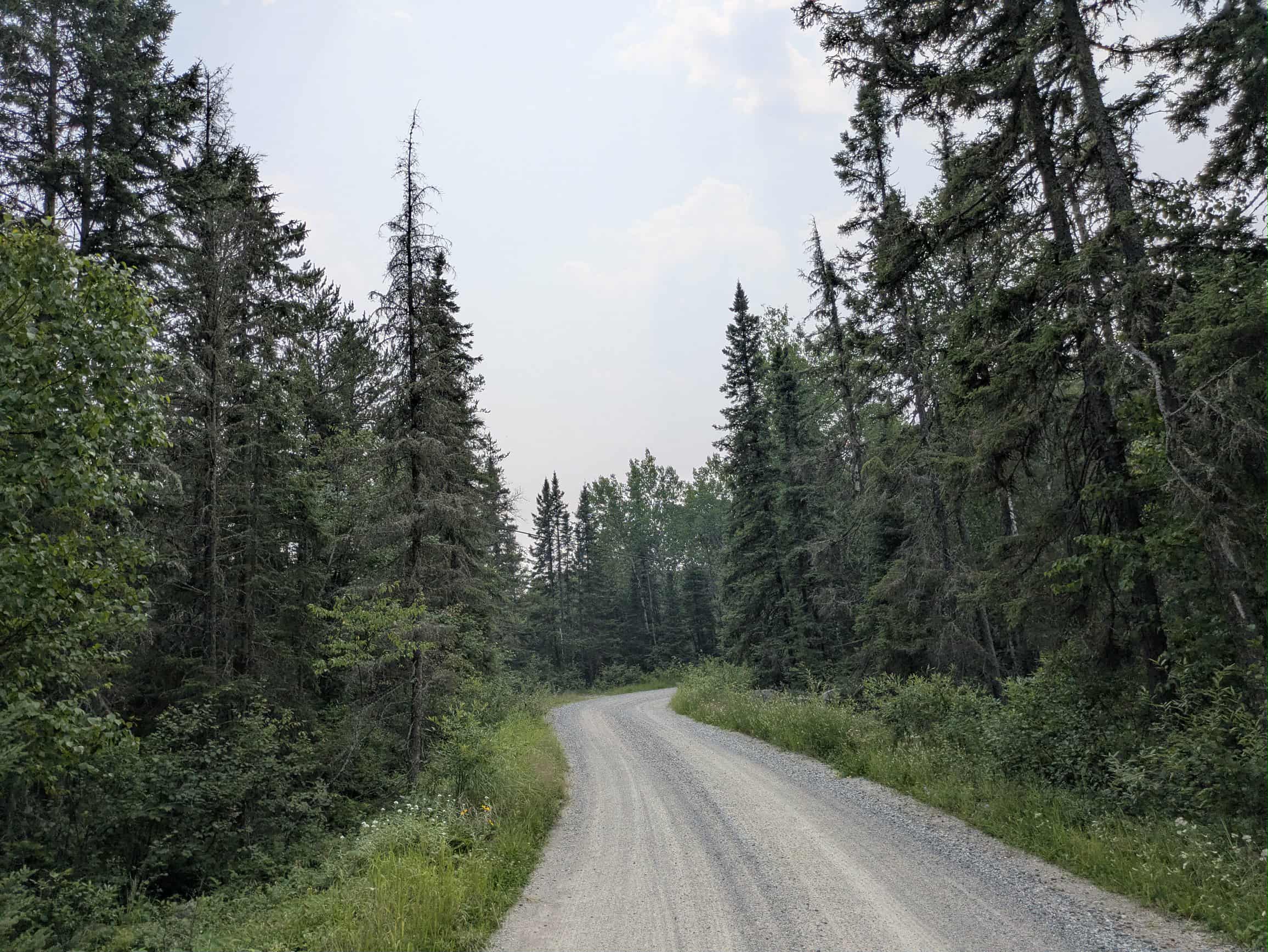
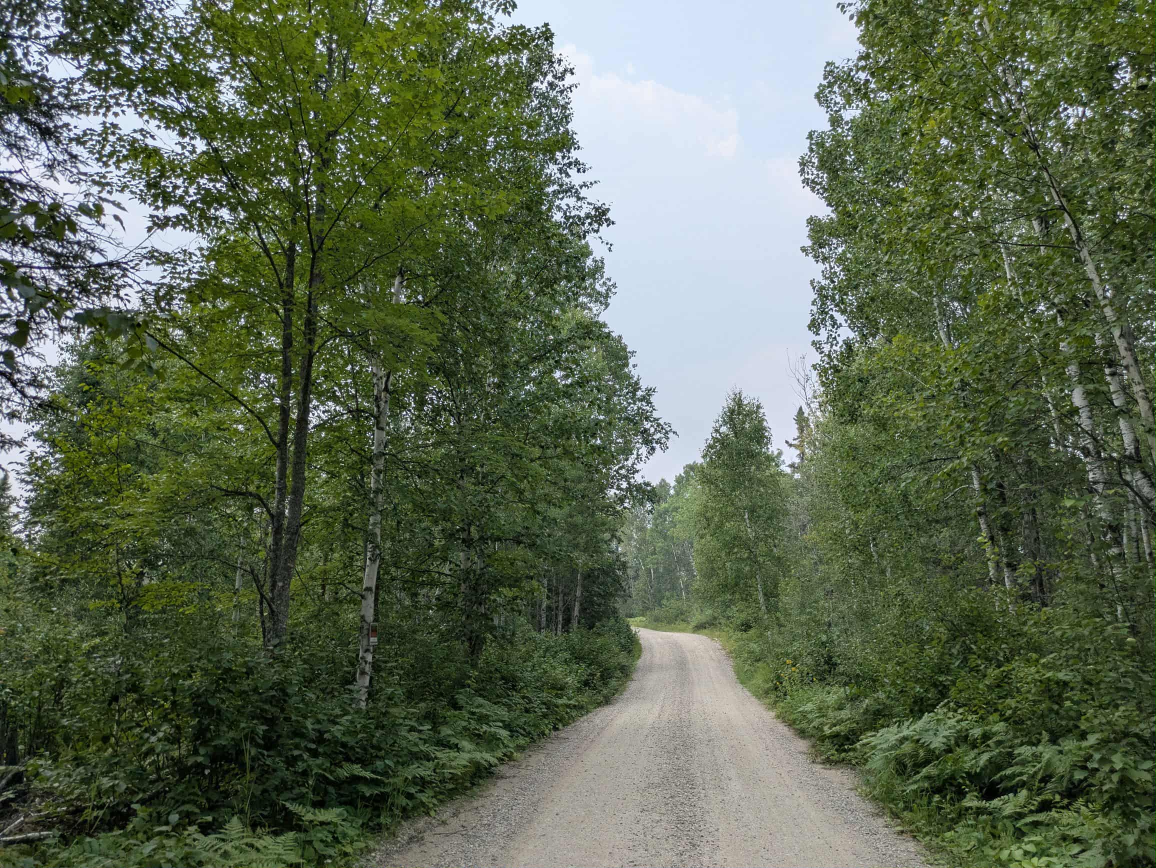
This trail begins where County Road 403 ends, at a bend in the road, and immediately narrows as it continues into the forest. We found no evidence of beaver or even a beaver farm. The surface remains smooth, primarily gravel, though there are sections with frequent potholes and mild corrugations. The trail winds through wooded terrain with a mix of gentle ascents and descents. Drivers should remain alert for local traffic, as the route is occasionally used by residents. There is one spur that leads onto forest land, but the main trail continues until it reaches a residential road and a nearby private road beside a large gravel pit. Although some maps indicate a campsite at the end of the trail, no formal camping area is present. Additionally, there are no opportunities for dispersed camping along the route. Basic services such as trash disposal and a water source are not available, and cell phone reception may be spotty or entirely absent in this area.
Photos of Beaver Farm
Difficulty
This forest trail is well-maintained and used by residents and adventurers. The route is wide and clear of debris, with established tread and minimal overgrowth, making it ideal for a smooth and scenic drive.
Status Reports
Beaver Farm can be accessed by the following ride types:
- High-Clearance 4x4
- SUV
Beaver Farm Map
Popular Trails

County Road 128


Stony Lookout
The onX Offroad Difference
onX Offroad combines trail photos, descriptions, difficulty ratings, width restrictions, seasonality, and more in a user-friendly interface. Available on all devices, with offline access and full compatibility with CarPlay and Android Auto. Discover what you’re missing today!