2117
Total Miles
3.9
Technical Rating
Best Time
Spring, Summer, Fall, Winter
Trail Type
Full-Width Road
Accessible By
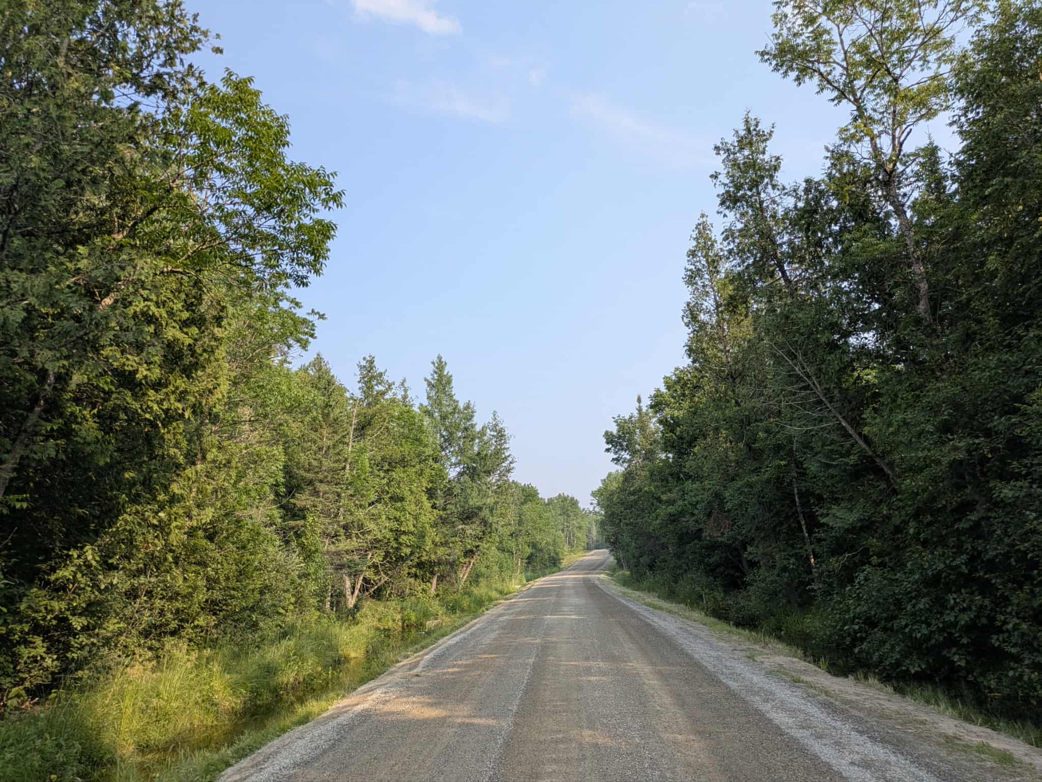
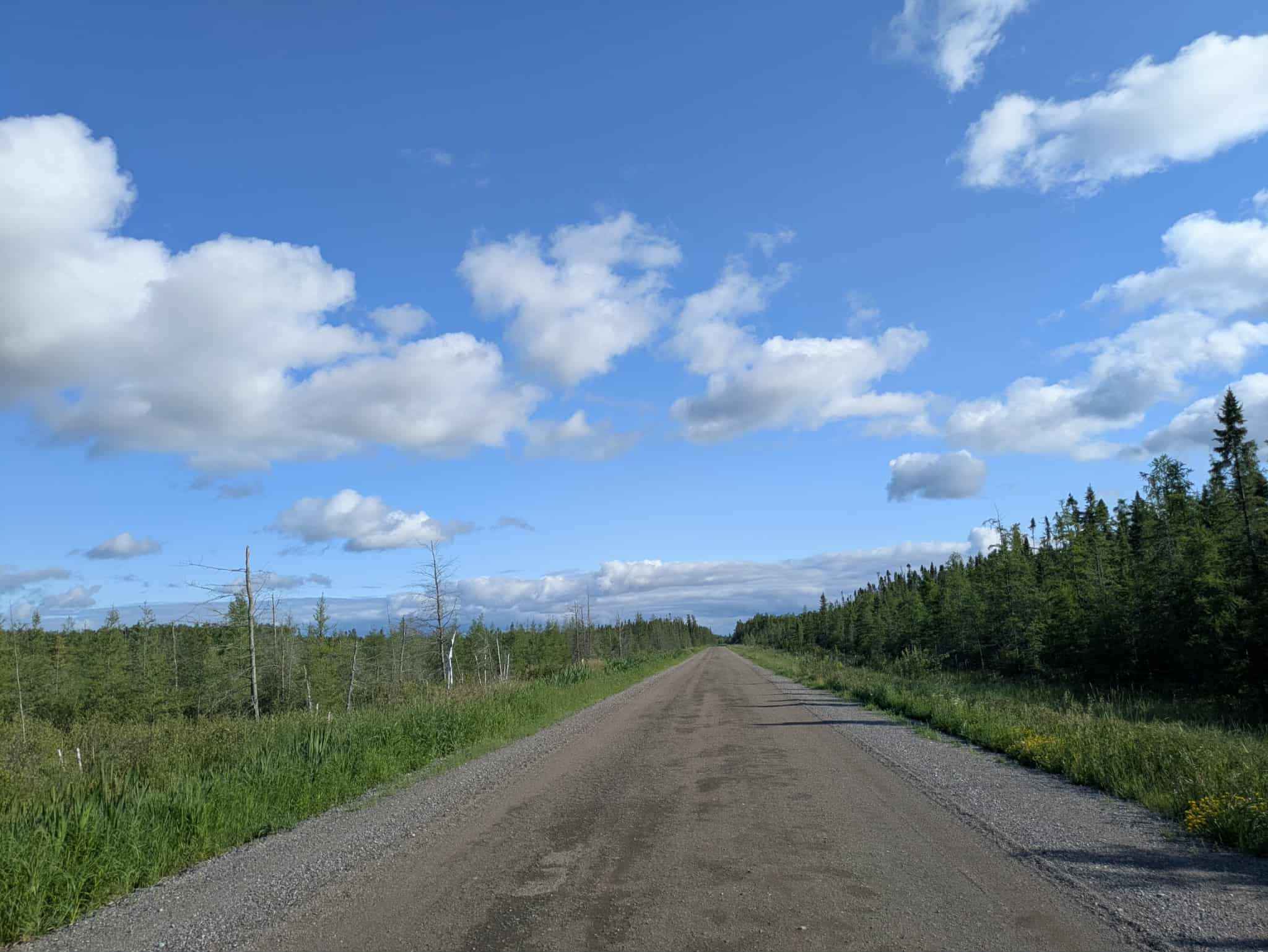
Trail Overview
This trail follows a winding path through a mixed landscape and appears to be only partially maintained. In several sections, the surface is uneven and shows signs of water damage, with potholes and erosion present despite the presence of a few active residences along the route. Wet areas are visible beside the trail, particularly in lower-lying sections, and the ground can be soft after rain. A few minor offshoot trails branch off the main route, though they are narrow and may not be regularly used. The trail maintains a generally twisting layout, with occasional gentle ascents and descents as it moves through the terrain. Local traffic may be encountered at any time, so drivers should remain cautious, especially on blind corners or narrower stretches. The trail does not provide access to any formal or dispersed campsites and lacks basic amenities such as water or trash disposal. Cell service may be intermittent or unavailable along parts of the route.
Photos of 2117


Difficulty
This trail is well-maintained and regularly used by OHV users, so be cautious of other off-roaders and adventurers.
History
Covering more than 1.6 million acres of glacial lakes, red-pine uplands, and sphagnum bogs, Minnesota's Chippewa National Forest lets motorists experience the North Woods at an unrushed pace. Paved state highways soon yield to a lattice of numbered forest roads, most of them well-graded gravel that thread between kettle ponds and stands of towering white pine, the tree that helped earn the forest its 1908 designation as one of America's first national forests. The forest harbors one of the highest breeding densities of bald eagles in the continental United States, and patient drivers often glimpse loons, black bears, and white-tailed deer as they move from shoreline to clear-cut regrowth and back again.
Status Reports
2117 can be accessed by the following ride types:
- High-Clearance 4x4
- SUV
- SxS (60")
- ATV (50")
- Dirt Bike
2117 Map
Popular Trails

Emily - Blind Lake Trail - East 106
Mud Creek Road

Devil Track South Shore Drive
The onX Offroad Difference
onX Offroad combines trail photos, descriptions, difficulty ratings, width restrictions, seasonality, and more in a user-friendly interface. Available on all devices, with offline access and full compatibility with CarPlay and Android Auto. Discover what you’re missing today!